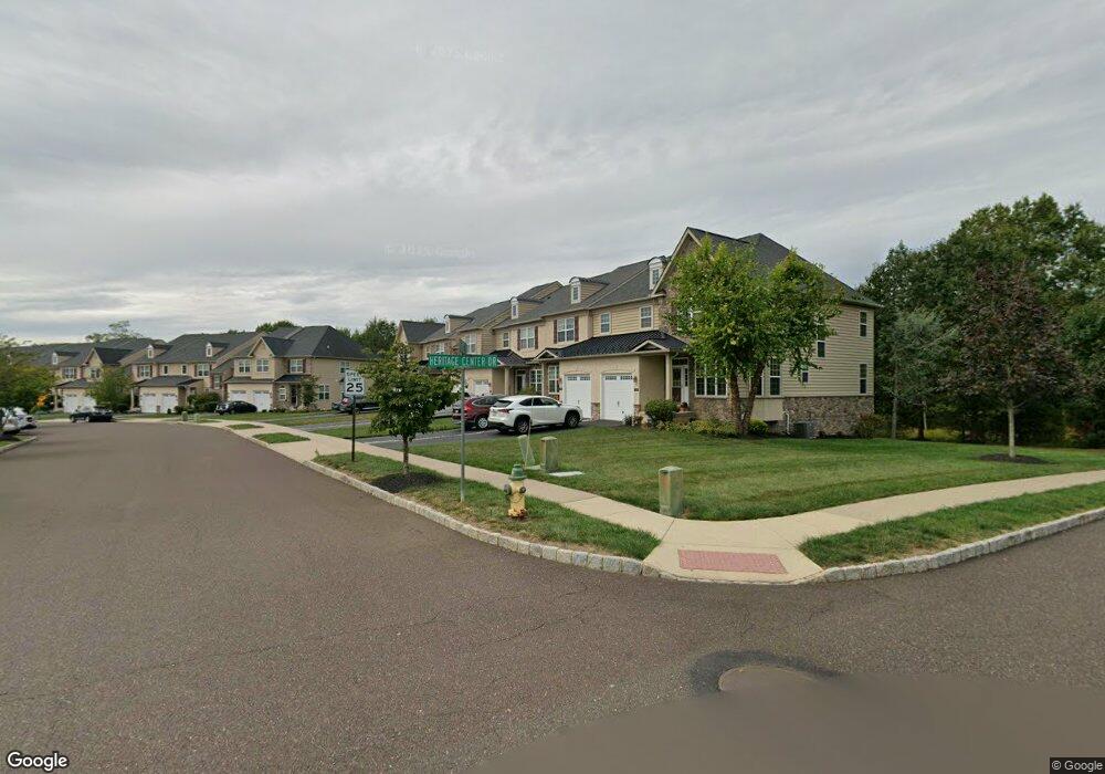
3284 Brookside Dr Unit 4 Furlong, PA 18925
Estimated Value: $591,326 - $619,000
3
Beds
3
Baths
2,330
Sq Ft
$260/Sq Ft
Est. Value
About This Home
This home is located at 3284 Brookside Dr Unit 4, Furlong, PA 18925 and is currently estimated at $605,082, approximately $259 per square foot. 3284 Brookside Dr Unit 4 is a home located in Bucks County with nearby schools including Bridge Valley Elementary School, Lenape Middle School, and Central Bucks High School-West.
Ownership History
Date
Name
Owned For
Owner Type
Purchase Details
Closed on
Sep 22, 2023
Sold by
Klukiewicz Kathryn
Bought by
Moraitis Kathryn
Current Estimated Value
Purchase Details
Closed on
Aug 27, 2010
Sold by
Hbg Heritage Center Inc
Bought by
Klukiewicz Kathryn
Home Financials for this Owner
Home Financials are based on the most recent Mortgage that was taken out on this home.
Original Mortgage
$312,000
Interest Rate
4.55%
Mortgage Type
New Conventional
Create a Home Valuation Report for This Property
The Home Valuation Report is an in-depth analysis detailing your home's value as well as a comparison with similar homes in the area
Home Values in the Area
Average Home Value in this Area
Purchase History
| Date | Buyer | Sale Price | Title Company |
|---|---|---|---|
| Moraitis Kathryn | -- | Noble Abstract | |
| Klukiewicz Kathryn | $390,000 | First American Title Ins Co |
Source: Public Records
Mortgage History
| Date | Status | Borrower | Loan Amount |
|---|---|---|---|
| Previous Owner | Klukiewicz Kathryn | $312,000 |
Source: Public Records
Tax History Compared to Growth
Tax History
| Year | Tax Paid | Tax Assessment Tax Assessment Total Assessment is a certain percentage of the fair market value that is determined by local assessors to be the total taxable value of land and additions on the property. | Land | Improvement |
|---|---|---|---|---|
| 2025 | $6,027 | $37,020 | -- | $37,020 |
| 2024 | $6,027 | $37,020 | $0 | $37,020 |
| 2023 | $5,823 | $37,020 | $0 | $37,020 |
| 2022 | $5,753 | $37,020 | $0 | $37,020 |
| 2021 | $5,684 | $37,020 | $0 | $37,020 |
| 2020 | $5,684 | $37,020 | $0 | $37,020 |
| 2019 | $5,647 | $37,020 | $0 | $37,020 |
| 2018 | $5,647 | $37,020 | $0 | $37,020 |
| 2017 | $5,601 | $37,020 | $0 | $37,020 |
| 2016 | $5,657 | $37,020 | $0 | $37,020 |
| 2015 | -- | $37,020 | $0 | $37,020 |
| 2014 | -- | $37,020 | $0 | $37,020 |
Source: Public Records
Map
Nearby Homes
- 106 Saddle Dr
- 2443 Sugar Bottom Rd
- 2310 S Whittmore St
- 3017 Dorchester St E Unit 125
- 547 Mccarty Dr
- 2209 Swamp Rd
- 2113 Redbud Ln
- 2080 Bedfordshire Rd
- 420 Edison Furlong Rd
- lot #3 next to 3739 York Rd
- 3772 Powder Horn Dr
- 2807 Mountain Laurel Dr
- 3657 Powder Horn Dr
- 21 Shady Springs Dr
- 152 Watercrest Dr
- 0 Old York Rd Unit PABU2103356
- 1249 Pebble Hill Rd
- 150 Watercrest Dr
- 223 Cherry Ln
- 1948 Forest Grove Rd
- 3286 Brookside Dr
- 3282 Brookside Dr Unit 5
- 3288 Brookside Dr Unit 2
- 3280 Brookside Dr Unit 6
- 3290 Brookside Dr Unit 1
- 3278 Brookside Dr
- 3276 Brookside Dr
- 3274 Brookside Dr
- 2420 Heritage Center Dr Unit 67
- 3272 Brookside Dr
- 2418 Heritage Center Dr Unit 66
- 3273 Brookside Dr
- 3270 Brookside Dr
- 3271 Brookside Dr
- 3271 Brookside Dr Unit 69
- 3269 Brookside Dr
- 3268 Brookside Dr
- 2414 Heritage Center Dr Unit 64
- 3267 Brookside Dr Unit 71
- 3266 Brookside Dr