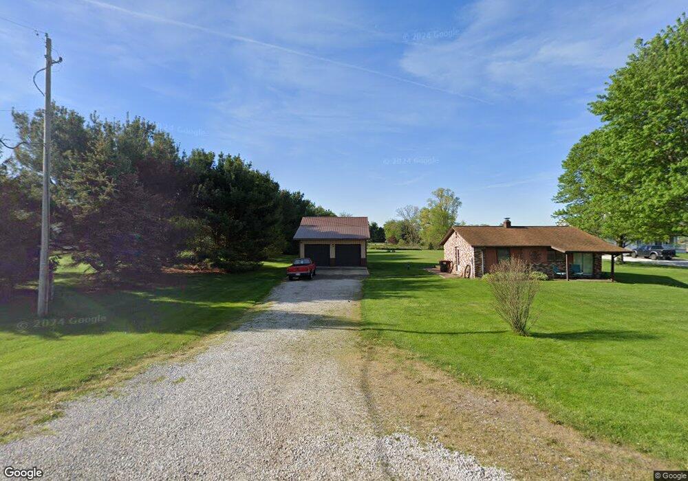
3284 Pontius St NE Alliance, OH 44601
Estimated Value: $157,000 - $193,000
2
Beds
1
Bath
896
Sq Ft
$196/Sq Ft
Est. Value
About This Home
This home is located at 3284 Pontius St NE, Alliance, OH 44601 and is currently estimated at $175,261, approximately $195 per square foot. 3284 Pontius St NE is a home located in Stark County with nearby schools including Marlington High School.
Ownership History
Date
Name
Owned For
Owner Type
Purchase Details
Closed on
Jan 9, 2009
Sold by
Secretary Of Housing & Urban Development
Bought by
Diener Michael J
Current Estimated Value
Purchase Details
Closed on
Oct 8, 2008
Sold by
Hoskin Charles E and Siburt Jennifer N
Bought by
Secretary Of Housing & Urban Development
Purchase Details
Closed on
Jan 25, 2003
Sold by
Nist Donald E and Nist Deanna L
Bought by
Hoskin Charles E and Siburt Jennifer N
Home Financials for this Owner
Home Financials are based on the most recent Mortgage that was taken out on this home.
Original Mortgage
$91,464
Interest Rate
6.01%
Mortgage Type
FHA
Purchase Details
Closed on
Aug 25, 1995
Sold by
Sommers Michael A
Bought by
Nist Donald E and Spataro Deanna L
Home Financials for this Owner
Home Financials are based on the most recent Mortgage that was taken out on this home.
Original Mortgage
$49,600
Interest Rate
7.43%
Mortgage Type
New Conventional
Purchase Details
Closed on
Dec 20, 1993
Create a Home Valuation Report for This Property
The Home Valuation Report is an in-depth analysis detailing your home's value as well as a comparison with similar homes in the area
Home Values in the Area
Average Home Value in this Area
Purchase History
| Date | Buyer | Sale Price | Title Company |
|---|---|---|---|
| Diener Michael J | $41,000 | Lakeside Title & Escrow Agen | |
| Secretary Of Housing & Urban Development | $60,000 | None Available | |
| Hoskin Charles E | $92,900 | -- | |
| Nist Donald E | $62,000 | -- | |
| -- | $36,500 | -- |
Source: Public Records
Mortgage History
| Date | Status | Borrower | Loan Amount |
|---|---|---|---|
| Previous Owner | Hoskin Charles E | $91,464 | |
| Previous Owner | Nist Donald E | $49,600 |
Source: Public Records
Tax History Compared to Growth
Tax History
| Year | Tax Paid | Tax Assessment Tax Assessment Total Assessment is a certain percentage of the fair market value that is determined by local assessors to be the total taxable value of land and additions on the property. | Land | Improvement |
|---|---|---|---|---|
| 2025 | -- | $47,850 | $23,520 | $24,330 |
| 2024 | -- | $47,850 | $23,520 | $24,330 |
| 2023 | $1,533 | $41,410 | $18,030 | $23,380 |
| 2022 | $1,569 | $41,590 | $18,030 | $23,560 |
| 2021 | $1,574 | $41,590 | $18,030 | $23,560 |
| 2020 | $1,421 | $34,340 | $15,160 | $19,180 |
| 2019 | $1,412 | $34,350 | $15,160 | $19,190 |
| 2018 | $1,350 | $34,350 | $15,160 | $19,190 |
| 2017 | $1,128 | $26,550 | $12,470 | $14,080 |
| 2016 | $1,128 | $26,550 | $12,470 | $14,080 |
| 2015 | $1,130 | $26,550 | $12,470 | $14,080 |
| 2014 | $1,065 | $23,110 | $10,860 | $12,250 |
| 2013 | $521 | $23,110 | $10,860 | $12,250 |
Source: Public Records
Map
Nearby Homes
- 14865 Millrich Cir NE
- 0 Pontius St NE
- 7377 Pontius St NE
- 0 Hartville Rd
- 167 State Route 44
- 3952 Laubert Rd
- 14162 Congress Lake Ave NE
- 0 Shaffer Rd
- 6180 Edison St NE
- 12561 Duquette Ave NE
- 310 Heatherby Ln NE
- 0 East Dr NE
- 3990 Edison St NE
- 3381 Alexander Rd
- 3079 Alexander Rd
- 1291 State Route 44
- 3705 Alexander Rd
- 4829 Laubert Rd
- 545 E Maple St
- 138 Relentless Way
- 3272 Pontius St NE
- 6400 Fernlane Cir NE
- 3284 Pontius St NE
- 14841 Millrich Cir NE
- 6405 Fernlane Cir NE
- 14825 Millrich Cir NE
- 14811 Millrich Cir NE
- 14881 Millrich Cir NE
- 14791 Millrich Cir NE
- 14895 Millrich Cir NE
- 14840 Millrich Cir NE
- 14822 Millrich Cir NE
- 14866 Millrich Cir NE
- 3232 Pontius St NE
- 14880 Millrich Cir NE
- 14769 Millrich Cir NE
- 14780 Millrich Cir NE
- 14896 Millrich Cir NE
- 6480 Fernlane Cir NE
- 6481 Fernlane Cir NE