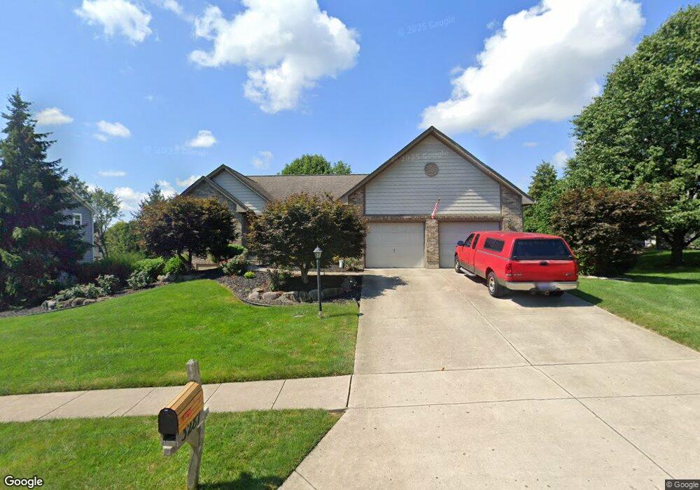
3287 Heritage Trace Dr E Bellbrook, OH 45305
Estimated Value: $437,450 - $540,000
3
Beds
3
Baths
1,718
Sq Ft
$288/Sq Ft
Est. Value
About This Home
This home is located at 3287 Heritage Trace Dr E, Bellbrook, OH 45305 and is currently estimated at $494,363, approximately $287 per square foot. 3287 Heritage Trace Dr E is a home located in Greene County with nearby schools including Bell Creek Intermediate School, Stephen Bell Elementary School, and Bellbrook Middle School.
Ownership History
Date
Name
Owned For
Owner Type
Purchase Details
Closed on
Dec 3, 2003
Sold by
Stafford Lance and Stafford Cynthia B
Bought by
Fuller Edward C and Fuller Patricia B
Current Estimated Value
Home Financials for this Owner
Home Financials are based on the most recent Mortgage that was taken out on this home.
Original Mortgage
$225,600
Outstanding Balance
$105,487
Interest Rate
6.01%
Mortgage Type
Unknown
Estimated Equity
$388,876
Purchase Details
Closed on
Oct 27, 2000
Sold by
Oberer Residential Construction Ltd
Bought by
Stafford Lance and Stafford Cynthia B
Home Financials for this Owner
Home Financials are based on the most recent Mortgage that was taken out on this home.
Original Mortgage
$248,000
Interest Rate
8.12%
Create a Home Valuation Report for This Property
The Home Valuation Report is an in-depth analysis detailing your home's value as well as a comparison with similar homes in the area
Home Values in the Area
Average Home Value in this Area
Purchase History
| Date | Buyer | Sale Price | Title Company |
|---|---|---|---|
| Fuller Edward C | $564,000 | -- | |
| Stafford Lance | $253,500 | -- |
Source: Public Records
Mortgage History
| Date | Status | Borrower | Loan Amount |
|---|---|---|---|
| Open | Fuller Edward C | $225,600 | |
| Closed | Stafford Lance | $248,000 |
Source: Public Records
Tax History
| Year | Tax Paid | Tax Assessment Tax Assessment Total Assessment is a certain percentage of the fair market value that is determined by local assessors to be the total taxable value of land and additions on the property. | Land | Improvement |
|---|---|---|---|---|
| 2024 | $6,599 | $127,630 | $24,410 | $103,220 |
| 2023 | $6,501 | $127,630 | $24,410 | $103,220 |
| 2022 | $6,095 | $100,670 | $19,530 | $81,140 |
| 2021 | $6,163 | $100,670 | $19,530 | $81,140 |
| 2020 | $5,757 | $100,670 | $19,530 | $81,140 |
| 2019 | $5,687 | $92,060 | $15,660 | $76,400 |
| 2018 | $5,697 | $92,060 | $15,660 | $76,400 |
| 2017 | $5,410 | $92,060 | $15,660 | $76,400 |
| 2016 | $5,411 | $85,490 | $15,660 | $69,830 |
| 2015 | $5,324 | $85,490 | $15,660 | $69,830 |
| 2014 | $4,912 | $85,490 | $15,660 | $69,830 |
Source: Public Records
Map
Nearby Homes
- 2018 Amberwood Ct
- 3608 Cypress Pointe Dr
- 3604 Cypress Pointe Dr
- 3604 Cypress Pointe Dr
- 3605 Cypress Pointe Dr
- 3605 Cypress Pointe Dr
- 3656 Persimmon Ridge Place
- 244 Washington Mill Rd
- 1478 Country Wood Dr
- 3625 Marwood Dr
- 3870 Feather Heights Ct
- 1029 Staylit Ct
- 3611 Ridgeway Rd
- 45 N East St Unit 45
- 1667 Ardennes Oak Dr
- 3849 Sable Ridge Dr
- 5640 Winshire Terrace
- 1753 Cedar Ridge Dr
- 2250 Jacob Hills Ct
- 1478 Kensington Dr
- 3279 Heritage Trace Dr E
- 3295 Heritage Trace Dr E
- 1264 Kables Mill Dr
- 1252 Kables Mill Dr
- 3271 Heritage Trace Dr E
- 1270 Kables Mill Dr
- 1240 Ravelle Ct
- 3313 Heritage Trace Dr E
- 3286 Heritage Trace Dr E
- 1214 Cottingwood Ct
- 1276 Kables Mill Dr
- 3265 Heritage Trace Dr E
- 1232 Ravelle Ct
- 1241 Ravelle Ct
- 1215 Cottingwood Ct
- 1284 Kables Mill Dr
- 1269 Kable's Mill Dr
- 1208 Cottingwood Ct
- 1267 Kables Mill Dr
- 1269 Kables Mill Dr