32899 Fields Rd Richwood, OH 43344
Estimated Value: $432,000 - $471,970
3
Beds
2
Baths
2,408
Sq Ft
$187/Sq Ft
Est. Value
About This Home
This home is located at 32899 Fields Rd, Richwood, OH 43344 and is currently estimated at $449,990, approximately $186 per square foot. 32899 Fields Rd is a home located in Union County with nearby schools including North Union Elementary School, North Union Middle School, and North Union High School.
Ownership History
Date
Name
Owned For
Owner Type
Purchase Details
Closed on
Jan 18, 2018
Sold by
Deboer Brian J
Bought by
Thompson Debour Rebecca J
Current Estimated Value
Create a Home Valuation Report for This Property
The Home Valuation Report is an in-depth analysis detailing your home's value as well as a comparison with similar homes in the area
Purchase History
| Date | Buyer | Sale Price | Title Company |
|---|---|---|---|
| Thompson Debour Rebecca J | -- | None Available |
Source: Public Records
Tax History
| Year | Tax Paid | Tax Assessment Tax Assessment Total Assessment is a certain percentage of the fair market value that is determined by local assessors to be the total taxable value of land and additions on the property. | Land | Improvement |
|---|---|---|---|---|
| 2024 | $5,630 | $124,280 | $11,840 | $112,440 |
| 2023 | $5,091 | $124,280 | $11,840 | $112,440 |
| 2022 | $5,009 | $124,280 | $11,840 | $112,440 |
| 2021 | $3,952 | $98,760 | $18,550 | $80,210 |
| 2020 | $3,947 | $98,760 | $18,550 | $80,210 |
| 2019 | $4,106 | $101,750 | $18,550 | $83,200 |
| 2018 | $2,382 | $58,300 | $17,190 | $41,110 |
| 2017 | $2,172 | $58,300 | $17,190 | $41,110 |
| 2016 | $2,226 | $58,300 | $17,190 | $41,110 |
| 2015 | $2,112 | $53,240 | $17,060 | $36,180 |
| 2014 | $2,112 | $53,240 | $17,060 | $36,180 |
| 2013 | $2,144 | $53,240 | $17,060 | $36,180 |
Source: Public Records
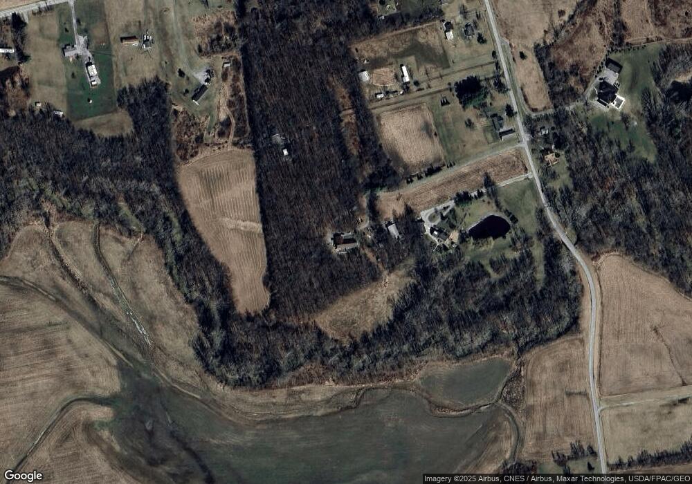
Map
Nearby Homes
- 0 Winnemac Rd Unit Tract 1 225033712
- 0 Winnemac Rd Unit Tract 4 225033731
- 0 Winnemac Rd Unit Tract 3 225033725
- 0 Winnemac Rd Unit Tract 5 225033739
- 33883 Winnemac Rd
- 0 Windfall Rd Unit Tract 6
- 0 Windfall Rd Unit Tract 4
- 0 Windfall Rd Unit Tract 5
- 0 Bell School Rd Unit Tract 2
- 0 Bell School Rd Unit Tract 1
- 0 Bell School Rd Unit Tract 3
- 18055 Miller Rd
- 31434 State Route 31
- 0 Ohio 31
- 32220 State Route 31
- 30650 State Route 739
- 32717 Water St
- 25875 Ohio 31
- 28384 Bitler Rd
- 13727 State Route 47
- 32815 Fields Rd
- 32875 Fields Rd
- 33021 Fields Rd
- 32949 Fields Rd
- 17247 Ohio 739
- 17247 State Route 739
- 32910 Fields Rd
- 33033 Fields Rd
- 17077 State Route 739
- 17181 State Route 739
- 17265 Ohio 739
- 33026 Fields Rd
- 17243 State Route 739
- 33093 Fields Rd
- 32619 Fields Rd
- 16977 State Route 739
- 0 State Route 739
- 17038 State Route 739
- 17200 Oh-739
- 17399 State Route 739
Your Personal Tour Guide
Ask me questions while you tour the home.