329 Carl Bailey Rd Bristol, ME 04539
Estimated Value: $252,387 - $369,000
--
Bed
--
Bath
--
Sq Ft
1.6
Acres
About This Home
This home is located at 329 Carl Bailey Rd, Bristol, ME 04539 and is currently estimated at $312,597. 329 Carl Bailey Rd is a home located in Lincoln County with nearby schools including Bristol Consolidated School.
Ownership History
Date
Name
Owned For
Owner Type
Purchase Details
Closed on
Jul 30, 2020
Sold by
Fitzpatrick James T Est and Fitzpatrick
Bought by
Fitzpatrick Ret and Fitzpatrick
Current Estimated Value
Home Financials for this Owner
Home Financials are based on the most recent Mortgage that was taken out on this home.
Original Mortgage
$68,000
Outstanding Balance
$60,049
Interest Rate
3%
Mortgage Type
New Conventional
Estimated Equity
$252,548
Purchase Details
Closed on
Feb 1, 2007
Sold by
Benner Lori Ellen
Bought by
Fitzpatrick James
Create a Home Valuation Report for This Property
The Home Valuation Report is an in-depth analysis detailing your home's value as well as a comparison with similar homes in the area
Home Values in the Area
Average Home Value in this Area
Purchase History
| Date | Buyer | Sale Price | Title Company |
|---|---|---|---|
| Fitzpatrick Ret | -- | None Available | |
| Fitzpatrick Ret | -- | None Available | |
| Fitzpatrick James | -- | -- | |
| Fitzpatrick James | -- | -- | |
| Fitzpatrick James | -- | -- |
Source: Public Records
Mortgage History
| Date | Status | Borrower | Loan Amount |
|---|---|---|---|
| Open | Fitzpatrick Ret | $68,000 | |
| Closed | Fitzpatrick Ret | $68,000 |
Source: Public Records
Tax History Compared to Growth
Tax History
| Year | Tax Paid | Tax Assessment Tax Assessment Total Assessment is a certain percentage of the fair market value that is determined by local assessors to be the total taxable value of land and additions on the property. | Land | Improvement |
|---|---|---|---|---|
| 2024 | $1,381 | $155,200 | $56,000 | $99,200 |
| 2023 | $1,234 | $155,200 | $56,000 | $99,200 |
| 2022 | $1,117 | $155,200 | $56,000 | $99,200 |
| 2021 | $1,117 | $155,200 | $56,000 | $99,200 |
| 2020 | $1,216 | $167,700 | $56,000 | $111,700 |
| 2019 | $1,132 | $167,700 | $56,000 | $111,700 |
| 2018 | $1,048 | $167,700 | $56,000 | $111,700 |
| 2017 | $1,048 | $167,700 | $56,000 | $111,700 |
| 2016 | $929 | $117,600 | $22,200 | $95,400 |
| 2015 | $994 | $117,600 | $22,200 | $95,400 |
| 2014 | $929 | $117,600 | $22,200 | $95,400 |
| 2013 | $906 | $117,600 | $22,200 | $95,400 |
Source: Public Records
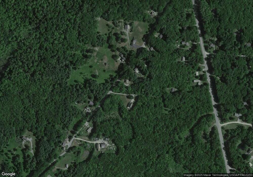
Map
Nearby Homes
- Lot 46 Carl Bailey Rd
- M6L54 Bristol Rd
- M6L53 Bristol Rd
- Lot 149 Bristol Rd
- 033-1 Bristol Rd
- 146 Lower Round Pond Rd
- 17 Eastwood Ct
- 12 Nonesuch Ln
- 1212 Bristol Rd
- M6l54
- 359 Lower Round Pond Rd
- M10L40E4 Christian Hill Rd
- Map10 L39B Christian Hill Rd
- 9 Bearces Hill Rd
- 00 Fir Hollow Rd
- 29 Good Day Dr
- 21 Landing Way
- 1276 State Route 32
- 0 Lockhart Cove Rd
- 0 Sodom Rd
- 337 Carl Bailey Rd
- 325 Carl Bailey Rd
- 338 Carl Bailey Rd
- 343 Carl Bailey Rd
- 312 Carl Bailey Rd
- 360 Carl Bailey Rd
- 348 Carl Bailey Rd
- 347 Carl Bailey Rd
- 1555 Bristol Rd
- 305 Carl Bailey Rd
- 1543 Bristol Rd
- 353 Carl Bailey Rd
- 295 Carl Bailey Rd
- 1533 Bristol Rd
- 1545 Bristol Rd
- 1551 Bristol Rd
- 290 Carl Bailey Rd
- 1525 Bristol Rd
- 1565 Bristol Rd
- 273 Sproul Hill Rd