329 Crittenden St Chenoa, IL 61726
Estimated Value: $110,751 - $127,000
--
Bed
1
Bath
1,176
Sq Ft
$100/Sq Ft
Est. Value
About This Home
This home is located at 329 Crittenden St, Chenoa, IL 61726 and is currently estimated at $117,688, approximately $100 per square foot. 329 Crittenden St is a home located in McLean County with nearby schools including Prairie Central High School.
Ownership History
Date
Name
Owned For
Owner Type
Purchase Details
Closed on
Apr 28, 2021
Sold by
Grau Mary Jo and Heath Mary Jo
Bought by
Heath Mary Jo and The Mary Jo Heath Revocable Li
Current Estimated Value
Purchase Details
Closed on
Dec 1, 2006
Sold by
Birch William E and Birch Diana Kay
Bought by
Grau Mary Jo
Purchase Details
Closed on
Sep 30, 2005
Sold by
Grider Kathleen B
Bought by
Birch William E and Birch Diana Kay
Home Financials for this Owner
Home Financials are based on the most recent Mortgage that was taken out on this home.
Original Mortgage
$45,000
Interest Rate
5.83%
Create a Home Valuation Report for This Property
The Home Valuation Report is an in-depth analysis detailing your home's value as well as a comparison with similar homes in the area
Home Values in the Area
Average Home Value in this Area
Purchase History
| Date | Buyer | Sale Price | Title Company |
|---|---|---|---|
| Heath Mary Jo | -- | Attorney | |
| Grau Mary Jo | -- | None Available | |
| Birch William E | $45,000 | Mclean County Title |
Source: Public Records
Mortgage History
| Date | Status | Borrower | Loan Amount |
|---|---|---|---|
| Previous Owner | Birch William E | $45,000 |
Source: Public Records
Tax History Compared to Growth
Tax History
| Year | Tax Paid | Tax Assessment Tax Assessment Total Assessment is a certain percentage of the fair market value that is determined by local assessors to be the total taxable value of land and additions on the property. | Land | Improvement |
|---|---|---|---|---|
| 2024 | $2,437 | $29,372 | $3,141 | $26,231 |
| 2022 | $2,437 | $25,271 | $2,703 | $22,568 |
| 2021 | $2,344 | $24,693 | $2,641 | $22,052 |
| 2020 | $2,245 | $22,960 | $2,456 | $20,504 |
| 2019 | $2,306 | $22,960 | $2,456 | $20,504 |
| 2018 | $2,449 | $22,735 | $2,432 | $20,303 |
| 2017 | $2,191 | $22,735 | $2,432 | $20,303 |
| 2016 | $2,076 | $22,735 | $2,432 | $20,303 |
| 2015 | $2,034 | $23,327 | $2,495 | $20,832 |
| 2014 | $1,504 | $23,327 | $2,495 | $20,832 |
| 2013 | -- | $23,581 | $2,522 | $21,059 |
Source: Public Records
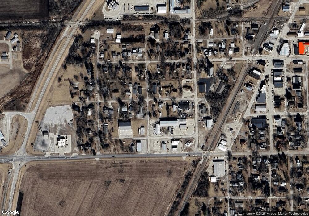
Map
Nearby Homes
- 325 Crittenden St
- 500 1/2 S Gerrard St
- 315 Crittenden St
- 401 S Gerrard St
- 401 S Gerrard St Unit B
- 423 Crittenden St
- 318 Franklin St
- 224 S Gerrard St
- 402 Crittenden St
- 416 Crittenden St
- 425 Crittenden St
- 302 S Morehead St
- 316 Crittenden St
- 328 W Cemetery Ave
- 420 W Cemetery Ave
- 318 W Cemetery Ave
- 321 W Owsley St
- 403 W Owsley St
- 317 W Owsley St
- 426 Crittenden St