329 Inverness Dr Unit 329 Inverness Drive Mankato, MN 56001
Country Club Estates NeighborhoodEstimated Value: $435,000 - $489,000
4
Beds
3
Baths
1,459
Sq Ft
$315/Sq Ft
Est. Value
About This Home
This home is located at 329 Inverness Dr Unit 329 Inverness Drive, Mankato, MN 56001 and is currently estimated at $459,734, approximately $315 per square foot. 329 Inverness Dr Unit 329 Inverness Drive is a home located in Blue Earth County with nearby schools including Franklin Elementary School, Prairie Winds Middle School, and Mankato East Senior High School.
Ownership History
Date
Name
Owned For
Owner Type
Purchase Details
Closed on
Jul 29, 2010
Sold by
Arnold Jacob
Bought by
Jacobs Mitchell A and Jacobs Pamela K
Current Estimated Value
Home Financials for this Owner
Home Financials are based on the most recent Mortgage that was taken out on this home.
Original Mortgage
$230,000
Outstanding Balance
$152,743
Interest Rate
4.63%
Mortgage Type
New Conventional
Estimated Equity
$306,991
Create a Home Valuation Report for This Property
The Home Valuation Report is an in-depth analysis detailing your home's value as well as a comparison with similar homes in the area
Home Values in the Area
Average Home Value in this Area
Purchase History
| Date | Buyer | Sale Price | Title Company |
|---|---|---|---|
| Jacobs Mitchell A | $245,000 | -- |
Source: Public Records
Mortgage History
| Date | Status | Borrower | Loan Amount |
|---|---|---|---|
| Open | Jacobs Mitchell A | $230,000 |
Source: Public Records
Tax History Compared to Growth
Tax History
| Year | Tax Paid | Tax Assessment Tax Assessment Total Assessment is a certain percentage of the fair market value that is determined by local assessors to be the total taxable value of land and additions on the property. | Land | Improvement |
|---|---|---|---|---|
| 2025 | $4,864 | $444,000 | $51,300 | $392,700 |
| 2024 | $4,864 | $435,100 | $51,300 | $383,800 |
| 2023 | $4,906 | $429,400 | $51,300 | $378,100 |
| 2022 | $4,260 | $418,700 | $51,300 | $367,400 |
| 2021 | $4,138 | $341,000 | $51,300 | $289,700 |
| 2020 | $3,968 | $317,500 | $51,300 | $266,200 |
| 2019 | $3,790 | $317,500 | $51,300 | $266,200 |
| 2018 | $3,476 | $303,800 | $42,700 | $261,100 |
| 2017 | $3,056 | $282,300 | $42,700 | $239,600 |
| 2016 | $2,966 | $262,300 | $42,700 | $219,600 |
| 2015 | $27 | $256,400 | $42,700 | $213,700 |
| 2014 | $2,800 | $238,400 | $42,700 | $195,700 |
Source: Public Records
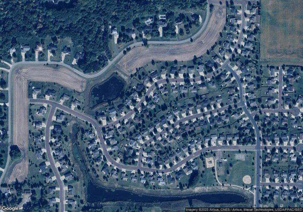
Map
Nearby Homes
- 147 147 Waynesborough Way
- 147 Waynesborough Way
- 320 320 Grovebrook Ct
- 320 Grovebrook Ct
- 117 Ct
- 101 La Costa Ln
- 105 Dr
- 29 Wood Dr Unit 11
- 103 Maple Dr Unit 44
- 111 Maple Dr Unit 48
- 55 Wood Dr Unit 24
- 24 Wood Dr Unit 33
- 34 Wood Dr Unit 38
- 66 Knoll Ln Unit 36
- 204 Spruce Ln Unit 93
- 64 Knoll Ln Unit 35
- 17 Wood Dr Unit 5
- 107 Maple Dr Unit 46
- 314 Oak Ln Unit 104
- 403 Elm Dr Unit 116
- 329 Inverness Dr
- 333 333 Inverness Dr
- 333 Inverness Dr
- 325 Inverness Dr
- 132 Waynesborough Way
- 337 Inverness Dr
- 136 Waynesborough Way
- 321 Inverness Dr
- 332 Inverness Dr
- 128 Waynesborough Way
- 140 Waynesborough Way
- 336 Inverness Dr
- 328 Inverness Dr
- 324 Inverness Dr
- 317 Inverness Dr
- 144 Waynesborough Way
- 341 Inverness Dr
- 340 Inverness Dr
- 148 Waynesborough Way
- 120 Waynesborough Way