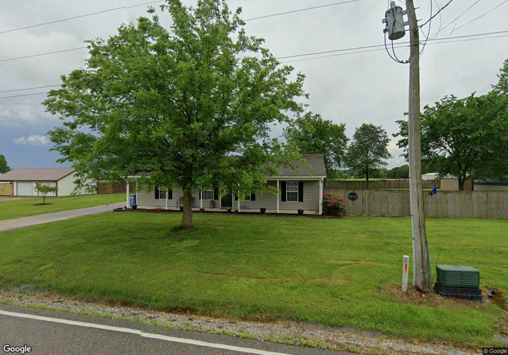
329 Lois Ln Paragould, AR 72450
Estimated Value: $167,000 - $214,000
--
Bed
2
Baths
1,464
Sq Ft
$130/Sq Ft
Est. Value
About This Home
This home is located at 329 Lois Ln, Paragould, AR 72450 and is currently estimated at $189,750, approximately $129 per square foot. 329 Lois Ln is a home located in Greene County with nearby schools including Paragould High School.
Ownership History
Date
Name
Owned For
Owner Type
Purchase Details
Closed on
Oct 8, 2008
Sold by
Vaughn Vaughn and Ernie Vaughn Revocable Trust
Bought by
Faber Michael D
Current Estimated Value
Home Financials for this Owner
Home Financials are based on the most recent Mortgage that was taken out on this home.
Original Mortgage
$96,223
Outstanding Balance
$63,818
Interest Rate
6.46%
Mortgage Type
New Conventional
Estimated Equity
$125,932
Purchase Details
Closed on
Aug 27, 2004
Bought by
Restrict Oak Park Sub
Purchase Details
Closed on
Mar 3, 2004
Bought by
Restrictions Oak Park Subdivis
Purchase Details
Closed on
Dec 27, 2000
Bought by
Ernie Vaughn Rv Lv Tr
Create a Home Valuation Report for This Property
The Home Valuation Report is an in-depth analysis detailing your home's value as well as a comparison with similar homes in the area
Home Values in the Area
Average Home Value in this Area
Purchase History
| Date | Buyer | Sale Price | Title Company |
|---|---|---|---|
| Faber Michael D | $93,000 | None Available | |
| Restrict Oak Park Sub | -- | -- | |
| Restrictions Oak Park Subdivis | -- | -- | |
| Ernie Vaughn Rv Lv Tr | $44,000 | -- |
Source: Public Records
Mortgage History
| Date | Status | Borrower | Loan Amount |
|---|---|---|---|
| Open | Faber Michael D | $96,223 |
Source: Public Records
Tax History Compared to Growth
Tax History
| Year | Tax Paid | Tax Assessment Tax Assessment Total Assessment is a certain percentage of the fair market value that is determined by local assessors to be the total taxable value of land and additions on the property. | Land | Improvement |
|---|---|---|---|---|
| 2025 | $1,253 | $35,990 | $2,000 | $33,990 |
| 2024 | $1,253 | $35,990 | $2,000 | $33,990 |
| 2023 | $1,153 | $26,380 | $2,100 | $24,280 |
| 2022 | $778 | $26,380 | $2,100 | $24,280 |
| 2021 | $727 | $26,380 | $2,100 | $24,280 |
| 2020 | $1,022 | $23,320 | $1,900 | $21,420 |
| 2019 | $647 | $23,320 | $1,900 | $21,420 |
| 2018 | $629 | $23,320 | $1,900 | $21,420 |
| 2017 | $874 | $23,320 | $1,900 | $21,420 |
| 2016 | $524 | $23,320 | $1,900 | $21,420 |
| 2015 | $483 | $16,690 | $1,400 | $15,290 |
| 2014 | $653 | $16,690 | $1,400 | $15,290 |
Source: Public Records
Map
Nearby Homes
- 233 Lois Ln
- 193 Granny Jean Ln
- 522 Vaughn Dr
- 44 Oak Grove Rd
- 422 Sunset Dr
- 181 Misty Marie
- 205 Raymond
- 146 Messer Dr
- 3613 Purcell Rd
- 3505 Purcell Rd
- Tract 4 Greene 726 Rd
- Tract 3 Greene 726 Rd
- Tract 2 Greene 726 Rd
- 000 Hwy 412 Byp Everett Dr
- 714 Thorne Dr
- 0 Hwy 49s Unit 10124883
- 3407 Sweet Gum St
- 3505 Sweet Gum St
- 0 Acres Highway 49n Unit 10121154
- 3501 Sweet Gum St