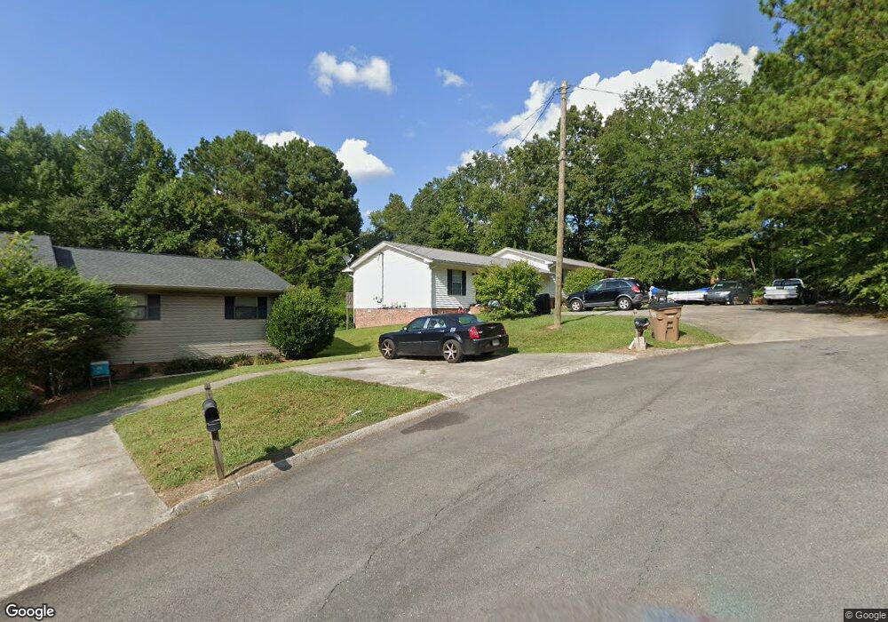
329 Mill Trace Dalton, GA 30721
Estimated Value: $265,981 - $300,000
Studio
2
Baths
2,268
Sq Ft
$126/Sq Ft
Est. Value
About This Home
This home is located at 329 Mill Trace, Dalton, GA 30721 and is currently estimated at $286,495, approximately $126 per square foot. 329 Mill Trace is a home located in Whitfield County with nearby schools including Pleasant Grove Elementary School, New Hope Middle School, and Northwest Whitfield County High School.
Ownership History
Date
Name
Owned For
Owner Type
Purchase Details
Closed on
Apr 23, 2025
Sold by
Mccormick James Luther
Bought by
Mccormick Family Living Trust and Mccormick
Current Estimated Value
Purchase Details
Closed on
Apr 1, 2015
Sold by
Regions Bank Co Trustee
Bought by
Mccormick James L
Purchase Details
Closed on
Dec 27, 2001
Sold by
Mccormick James Luther Jr & Regions Bank
Bought by
Mccormick James Luther and Mccormick Regions
Create a Home Valuation Report for This Property
The Home Valuation Report is an in-depth analysis detailing your home's value as well as a comparison with similar homes in the area
Purchase History
| Date | Buyer | Sale Price | Title Company |
|---|---|---|---|
| Mccormick Family Living Trust | -- | None Listed On Document | |
| Mccormick Family Living Trust | -- | None Listed On Document | |
| Mccormick James L | -- | -- | |
| Mccormick James Luther | -- | -- |
Source: Public Records
Tax History
| Year | Tax Paid | Tax Assessment Tax Assessment Total Assessment is a certain percentage of the fair market value that is determined by local assessors to be the total taxable value of land and additions on the property. | Land | Improvement |
|---|---|---|---|---|
| 2025 | $2,842 | $103,202 | $12,000 | $91,202 |
| 2024 | $2,842 | $103,202 | $12,000 | $91,202 |
| 2023 | $1,888 | $64,018 | $8,000 | $56,018 |
| 2022 | $1,235 | $41,876 | $5,250 | $36,626 |
| 2021 | $1,236 | $41,876 | $5,250 | $36,626 |
| 2020 | $1,277 | $41,876 | $5,250 | $36,626 |
| 2019 | $1,298 | $41,876 | $5,250 | $36,626 |
| 2018 | $1,319 | $41,876 | $5,250 | $36,626 |
| 2017 | $1,169 | $41,876 | $5,250 | $36,626 |
| 2016 | $1,169 | $38,561 | $5,250 | $33,311 |
| 2014 | $1,196 | $44,440 | $5,250 | $39,190 |
| 2013 | -- | $44,439 | $5,250 | $39,189 |
Source: Public Records
Map
Nearby Homes
- 107 Driftwood Ln
- 522 Westbrook Rd
- 101 Forrest Park Rd
- 2502 E Hillview Dr
- 112 Albertson Dr
- 132 Andros Loop
- 140 Andros Dr
- 150 W Acklin Ln
- 142 Andros Dr
- 141 Andros Dr
- 144 Andros Dr
- 143 Andros Dr
- 2311 1st St
- 116 W Acklin Ln
- 145 Andros Dr
- 186 Andros Dr
- 193 Andros Drives
- 114 Andros Loop
- 202 Andros Dr
- 122 Andros Loop
- 327 Mill Trace
- 207 Shallowford Rd
- 325 Mill Trace
- 306 Ricky Dr
- 210 Shallowford Rd
- 328 Mill Trace
- 328 Mill Trace Unit 328A
- 308 Ricky Dr
- 205 Shallowford Rd
- 326 Mill Trace
- 326 Mill Trace Unit 326A
- 323 Mill Trace Unit 323A
- 312 Ricky Dr
- 324 Mill Trace
- 302 Ricky Dr
- 203 Shallowford Rd
- 203 Shallowford Rd
- 321 Mill Trace
- 321 Mill Trace Unit 321A
- 206 Shallowford Rd
Your Personal Tour Guide
Ask me questions while you tour the home.