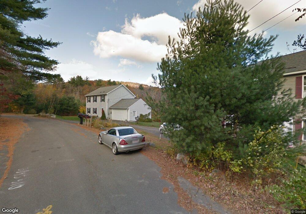
329 Turkey Hill Rd Florence, MA 01062
Florence NeighborhoodEstimated Value: $476,000 - $593,000
3
Beds
2
Baths
1,792
Sq Ft
$299/Sq Ft
Est. Value
About This Home
This home is located at 329 Turkey Hill Rd, Florence, MA 01062 and is currently estimated at $535,973, approximately $299 per square foot. 329 Turkey Hill Rd is a home located in Hampshire County with nearby schools including Northampton High School.
Ownership History
Date
Name
Owned For
Owner Type
Purchase Details
Closed on
Feb 19, 2004
Sold by
Equity Bldrs Rlty Llc
Bought by
Bombard Thomas W and Bombard Leonilda M
Current Estimated Value
Create a Home Valuation Report for This Property
The Home Valuation Report is an in-depth analysis detailing your home's value as well as a comparison with similar homes in the area
Home Values in the Area
Average Home Value in this Area
Purchase History
| Date | Buyer | Sale Price | Title Company |
|---|---|---|---|
| Bombard Thomas W | $225,000 | -- |
Source: Public Records
Mortgage History
| Date | Status | Borrower | Loan Amount |
|---|---|---|---|
| Open | Bombard Thomas W | $75,000 | |
| Open | Bombard Thomas W | $187,000 | |
| Closed | Bombard Thomas W | $60,000 | |
| Closed | Bombard Thomas W | $149,500 |
Source: Public Records
Tax History Compared to Growth
Tax History
| Year | Tax Paid | Tax Assessment Tax Assessment Total Assessment is a certain percentage of the fair market value that is determined by local assessors to be the total taxable value of land and additions on the property. | Land | Improvement |
|---|---|---|---|---|
| 2025 | $5,892 | $423,000 | $96,500 | $326,500 |
| 2024 | $5,894 | $388,000 | $92,300 | $295,700 |
| 2023 | $5,601 | $353,600 | $83,600 | $270,000 |
| 2022 | $5,322 | $297,500 | $78,600 | $218,900 |
| 2021 | $4,709 | $271,100 | $75,200 | $195,900 |
| 2020 | $4,554 | $271,100 | $75,200 | $195,900 |
| 2019 | $4,740 | $272,900 | $87,700 | $185,200 |
| 2018 | $4,563 | $267,800 | $87,700 | $180,100 |
| 2017 | $4,470 | $267,800 | $87,700 | $180,100 |
| 2016 | $4,328 | $267,800 | $87,700 | $180,100 |
| 2015 | $4,198 | $265,700 | $92,700 | $173,000 |
| 2014 | $4,089 | $265,700 | $92,700 | $173,000 |
Source: Public Records
Map
Nearby Homes
- 0 W Farms Rd
- 20-11 Sylvester Rd
- 200 Easthampton Rd
- 832 Westhampton Rd
- 1260 Westhampton Rd
- 91 Montague Rd
- 12 Pine Hill Rd
- 2 Mine Rd
- 39 Matthew Dr
- 262 Loudville Rd
- 12 Nicols Way Unit 12
- 6 Nicols Way Unit 6
- 18 Nicols Way Unit 18
- 138 Overlook Dr
- 36 Torrey St
- 815 Burts Pit Rd
- 269 Ryan Rd
- 98 Park Hill Rd
- 75 Lead Mine Rd
- 137 Emerson Way
- 317 Turkey Hill Rd Unit B
- 317 Turkey Hill Rd Unit 2
- 317 Turkey Hill Rd Unit 1
- 320 Turkey Hill Rd Unit 3
- 320 Turkey Hill Rd Unit 2
- 320 Turkey Hill Rd Unit 1
- 320 Turkey Hill Rd
- 332 Turkey Hill Rd
- 296 Turkey Hill Rd
- 364 Turkey Hill Rd
- 276 Turkey Hill Rd
- 267 Turkey Hill Rd
- 218 Turkey Hill Rd
- 175 Turkey Hill Rd
- 176 Turkey Hill Rd
- 164 Turkey Hill Rd
- 161 Turkey Hill Rd
- 158 Turkey Hill Rd
- 147 Turkey Hill Rd
- 152 Turkey Hill Rd