3292 Staghorn Dr Fort Ripley, MN 56449
Estimated Value: $347,000 - $729,837
5
Beds
3
Baths
4,571
Sq Ft
$122/Sq Ft
Est. Value
About This Home
This home is located at 3292 Staghorn Dr, Fort Ripley, MN 56449 and is currently estimated at $558,612, approximately $122 per square foot. 3292 Staghorn Dr is a home located in Crow Wing County with nearby schools including Riverside Elementary School, Forestview Middle School, and Brainerd Senior High School.
Ownership History
Date
Name
Owned For
Owner Type
Purchase Details
Closed on
Jul 16, 2025
Sold by
County Of Crow Wing
Bought by
Gould Ryan
Current Estimated Value
Purchase Details
Closed on
Nov 14, 2023
Sold by
Mcclelland Angela
Bought by
Brinks Daryl K and Brinks Julie A
Purchase Details
Closed on
May 1, 2004
Sold by
Derosier George W and Derosier Lillian L
Bought by
Gould Ryan
Create a Home Valuation Report for This Property
The Home Valuation Report is an in-depth analysis detailing your home's value as well as a comparison with similar homes in the area
Home Values in the Area
Average Home Value in this Area
Purchase History
| Date | Buyer | Sale Price | Title Company |
|---|---|---|---|
| Gould Ryan | -- | -- | |
| Brinks Daryl K | $375,000 | Elite Title & Escrow | |
| Gould Ryan | $25,500 | -- |
Source: Public Records
Tax History Compared to Growth
Tax History
| Year | Tax Paid | Tax Assessment Tax Assessment Total Assessment is a certain percentage of the fair market value that is determined by local assessors to be the total taxable value of land and additions on the property. | Land | Improvement |
|---|---|---|---|---|
| 2025 | $3,182 | $732,600 | $141,100 | $591,500 |
| 2024 | $3,182 | $650,300 | $115,500 | $534,800 |
| 2023 | $3,508 | $715,500 | $82,500 | $633,000 |
| 2022 | $2,514 | $685,900 | $74,200 | $611,700 |
| 2021 | $3,990 | $447,100 | $71,600 | $375,500 |
| 2020 | $3,650 | $447,100 | $71,600 | $375,500 |
| 2019 | $3,506 | $418,100 | $67,200 | $350,900 |
| 2018 | $2,416 | $399,200 | $67,300 | $331,900 |
| 2017 | $1,248 | $309,220 | $67,520 | $241,700 |
| 2016 | $1,190 | $134,800 | $47,000 | $87,800 |
| 2015 | $1,192 | $131,000 | $46,800 | $84,200 |
| 2014 | $567 | $126,100 | $46,500 | $79,600 |
Source: Public Records
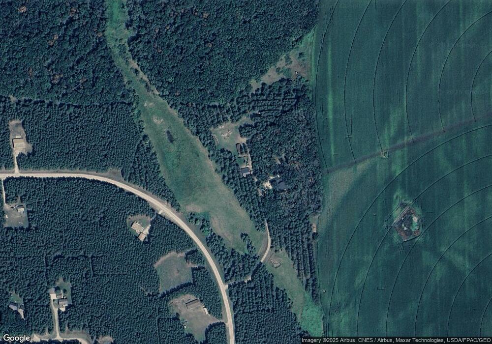
Map
Nearby Homes
- 2761 Mississippi Shores Rd
- 5471 Crow Wing Lake Rd
- 15576 263rd St
- 8624- 50th Ave SW
- TBD 263rd St
- TBD 4.38 Acres 13th Ave SW
- xxx Birch Curve Rd
- 13946 Hardy Lake Rd SW
- XXX Mallard Dr
- 13869 Hardy Lake Rd SW
- xxx Cardinal Trail
- 27331 Honey Hill Rd
- TBD Timber Ridge Dr
- TBD State Highway 371
- 25988 185th Ave
- TBD Powderhorn Dr
- xxx Lake Camile Lost Lake
- Tract B Richfield Rd
- Tract C Richfield Rd
- Tract A Richfield Rd
- 3331 Staghorn Dr
- TBD Staghorn Dr
- 3277 Staghorn Dr
- 3432 Staghorn Dr
- 3222 Bedow Rd
- 3201 Staghorn Dr
- 32800 Staghorn Dr
- 3344 Staghorn Dr
- L9 B1 Bedow Rd
- 3395 Staghorn Dr
- XXX Legend Ln
- 3152 Bedow Rd
- 3244 Bedow Rd
- 3151 Staghorn Dr
- 3408 Staghorn Dr
- XXXX Bedow Rd
- 3110 Staghorn Dr
- 3102 Bedow Rd
- 3632 Bedow Rd
- 3115 Staghorn Dr