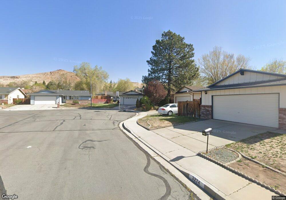
3294 Sandy St Sparks, NV 89431
McCarran Boulevard-Probasco NeighborhoodEstimated Value: $413,000 - $496,000
3
Beds
2
Baths
1,692
Sq Ft
$268/Sq Ft
Est. Value
About This Home
This home is located at 3294 Sandy St, Sparks, NV 89431 and is currently estimated at $452,765, approximately $267 per square foot. 3294 Sandy St is a home located in Washoe County with nearby schools including Lena Juniper Elementary School, Lou Mendive Middle School, and Edward C Reed High School.
Ownership History
Date
Name
Owned For
Owner Type
Purchase Details
Closed on
Aug 3, 2020
Sold by
Magee Michael K and Magee Sandi L
Bought by
Magee Michael K and Magee Sandi L
Current Estimated Value
Home Financials for this Owner
Home Financials are based on the most recent Mortgage that was taken out on this home.
Original Mortgage
$205,000
Outstanding Balance
$142,731
Interest Rate
3.1%
Mortgage Type
New Conventional
Estimated Equity
$310,034
Purchase Details
Closed on
Feb 19, 1998
Sold by
Ursini Terry L and Ursini Joseph M
Bought by
Magee Michael K and Magee Sondra L
Home Financials for this Owner
Home Financials are based on the most recent Mortgage that was taken out on this home.
Original Mortgage
$93,500
Interest Rate
6.9%
Create a Home Valuation Report for This Property
The Home Valuation Report is an in-depth analysis detailing your home's value as well as a comparison with similar homes in the area
Home Values in the Area
Average Home Value in this Area
Purchase History
| Date | Buyer | Sale Price | Title Company |
|---|---|---|---|
| Magee Michael K | -- | Ticor Title Reno | |
| Magee Michael K | $127,000 | Stewart Title Company |
Source: Public Records
Mortgage History
| Date | Status | Borrower | Loan Amount |
|---|---|---|---|
| Open | Magee Michael K | $205,000 | |
| Closed | Magee Michael K | $93,500 |
Source: Public Records
Tax History
| Year | Tax Paid | Tax Assessment Tax Assessment Total Assessment is a certain percentage of the fair market value that is determined by local assessors to be the total taxable value of land and additions on the property. | Land | Improvement |
|---|---|---|---|---|
| 2026 | $1,210 | $63,399 | $36,540 | $26,859 |
| 2024 | $1,528 | $64,063 | $34,755 | $29,308 |
| 2023 | $1,528 | $63,443 | $34,930 | $28,513 |
| 2022 | $1,484 | $52,785 | $28,455 | $24,330 |
| 2021 | $1,441 | $44,440 | $19,635 | $24,805 |
| 2020 | $1,397 | $43,269 | $17,850 | $25,419 |
| 2019 | $1,357 | $43,781 | $18,725 | $25,056 |
| 2018 | $1,318 | $38,578 | $13,545 | $25,033 |
| 2017 | $1,279 | $37,606 | $12,075 | $25,531 |
| 2016 | $1,247 | $38,045 | $11,550 | $26,495 |
| 2015 | $1,247 | $36,352 | $9,415 | $26,937 |
| 2014 | $1,212 | $34,303 | $7,980 | $26,323 |
| 2013 | -- | $32,297 | $5,985 | $26,312 |
Source: Public Records
Map
Nearby Homes
- 3198 Bristle Branch Dr
- 3188 Bristle Branch Dr
- 3104 Sandy St
- 908 Pinewood Dr
- 930 Spanish Springs Rd
- 947 Spanish Springs Rd Unit 1
- 25 E Penny Way
- 1069 Palmwood Dr
- 1031 Vintage Hills Pkwy
- 1029 Baywood Dr Unit D
- 3602 Oakridge Dr
- 3592 Oakridge Dr
- 889 Glen Molly Dr
- 913 Glen Molly Dr
- 91 E York Way
- 1074 Glen Martin Dr
- 3607 Keogh Dr
- 28 Arndell Way
- 136 York Way Unit 1
- 2363 William Morby Dr
Your Personal Tour Guide
Ask me questions while you tour the home.