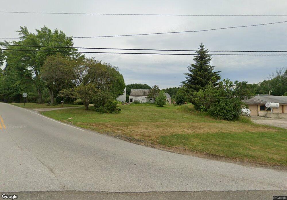
3297 State Route 44 Rootstown, OH 44272
Estimated Value: $389,000 - $492,000
3
Beds
2
Baths
2,168
Sq Ft
$198/Sq Ft
Est. Value
About This Home
This home is located at 3297 State Route 44, Rootstown, OH 44272 and is currently estimated at $429,852, approximately $198 per square foot. 3297 State Route 44 is a home located in Portage County with nearby schools including Rootstown Middle School - Schnee Building and Rootstown High School.
Ownership History
Date
Name
Owned For
Owner Type
Purchase Details
Closed on
Jun 19, 2019
Sold by
Fahrny Christian K and Feciuch Carol
Bought by
Feciuch Brian and Feciuch Louise
Current Estimated Value
Purchase Details
Closed on
May 12, 2014
Sold by
Fahrny Christian K and Fahrny Barbara
Bought by
Fahrny Christian K and Fahrny Barbara
Purchase Details
Closed on
Oct 28, 2011
Sold by
Fahrny Walter K and Fahrny Shirley E
Bought by
Fahrny Christian K and Fahrny Barbara
Create a Home Valuation Report for This Property
The Home Valuation Report is an in-depth analysis detailing your home's value as well as a comparison with similar homes in the area
Purchase History
| Date | Buyer | Sale Price | Title Company |
|---|---|---|---|
| Feciuch Brian | -- | None Available | |
| Fahrny Christian K | -- | None Available | |
| Fahrny Christian K | -- | None Available |
Source: Public Records
Tax History
| Year | Tax Paid | Tax Assessment Tax Assessment Total Assessment is a certain percentage of the fair market value that is determined by local assessors to be the total taxable value of land and additions on the property. | Land | Improvement |
|---|---|---|---|---|
| 2024 | $5,321 | $134,580 | $13,300 | $121,280 |
| 2023 | $4,882 | $110,470 | $11,730 | $98,740 |
| 2022 | $4,846 | $110,470 | $11,730 | $98,740 |
| 2021 | $4,985 | $110,470 | $11,730 | $98,740 |
| 2020 | $1,495 | $31,260 | $11,170 | $20,090 |
| 2019 | $1,500 | $31,260 | $11,170 | $20,090 |
| 2018 | $1,688 | $33,540 | $11,870 | $21,670 |
| 2017 | $1,688 | $33,540 | $11,870 | $21,670 |
| 2016 | $1,655 | $33,540 | $11,870 | $21,670 |
| 2015 | $1,674 | $33,540 | $11,870 | $21,670 |
| 2014 | -- | $33,540 | $11,870 | $21,670 |
Source: Public Records
Map
Nearby Homes
- 3701 State Route 44
- 3689 Cherry Hill
- 3637 Old Forge Rd
- 3021 Hartville Rd
- 4079 Siefer Dr
- 3080 Saxe Rd
- 0 Lynn Rd Unit 5110102
- 4958 Bassett Rd
- V/L 2 Lynn Rd
- V/L Lynn Rd
- 4225 Hattrick Rd
- 3583 Randolph Rd
- 0 Tallmadge Rd Unit 5189301
- 0 Tallmadge Rd Unit 5189314
- 4415 Farmette Dr
- 4691 Scenic Dr
- 4556 Rootstown Rd
- 2547 Industry Rd
- sub lot Lane Ave
- 4324 Abbey Ln
- 3265 State Route 44
- 3250 State Route 44
- 3296 State Route 44
- 3270 State Route 44
- 3253 Hartville Rd
- 3341 State Route 44
- 3234 Hartville Rd
- 3245 State Route 44
- 3357 State Route 44
- 3242 State Route 44
- 3322 State Route 44
- 3312 State Route 44
- 3233 Hartville Rd
- 3365 State Route 44
- 3213 State Route 44
- 3373 State Route 44
- 3360 State Route 44
- 3217 Hartville Rd
- 3383 State Route 44
- 3199 State Route 44
Your Personal Tour Guide
Ask me questions while you tour the home.