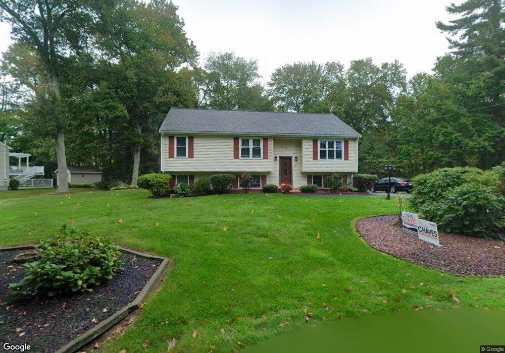
32A Davis St Taunton, MA 02780
Wades Corner NeighborhoodEstimated Value: $490,848 - $567,000
3
Beds
2
Baths
1,646
Sq Ft
$320/Sq Ft
Est. Value
About This Home
This home is located at 32A Davis St, Taunton, MA 02780 and is currently estimated at $525,962, approximately $319 per square foot. 32A Davis St is a home located in Bristol County with nearby schools including Mulcahey Elementary School, Benjamin Friedman Middle School, and Taunton High School.
Ownership History
Date
Name
Owned For
Owner Type
Purchase Details
Closed on
Oct 6, 1994
Sold by
Jamestown Bldrs Inc
Bought by
Figueira Lucio G and Figueira Lisa A
Current Estimated Value
Home Financials for this Owner
Home Financials are based on the most recent Mortgage that was taken out on this home.
Original Mortgage
$106,400
Interest Rate
8.55%
Mortgage Type
Purchase Money Mortgage
Create a Home Valuation Report for This Property
The Home Valuation Report is an in-depth analysis detailing your home's value as well as a comparison with similar homes in the area
Home Values in the Area
Average Home Value in this Area
Purchase History
| Date | Buyer | Sale Price | Title Company |
|---|---|---|---|
| Figueira Lucio G | $120,400 | -- |
Source: Public Records
Mortgage History
| Date | Status | Borrower | Loan Amount |
|---|---|---|---|
| Open | Figueira Lucio G | $124,000 | |
| Closed | Figueira Lucio G | $106,400 |
Source: Public Records
Tax History
| Year | Tax Paid | Tax Assessment Tax Assessment Total Assessment is a certain percentage of the fair market value that is determined by local assessors to be the total taxable value of land and additions on the property. | Land | Improvement |
|---|---|---|---|---|
| 2025 | $4,742 | $433,500 | $121,800 | $311,700 |
| 2024 | $4,323 | $386,300 | $121,800 | $264,500 |
| 2023 | $4,309 | $357,600 | $121,800 | $235,800 |
| 2022 | $4,156 | $315,300 | $101,500 | $213,800 |
| 2021 | $3,915 | $275,700 | $92,300 | $183,400 |
| 2020 | $3,821 | $257,100 | $92,300 | $164,800 |
| 2019 | $3,921 | $248,800 | $92,300 | $156,500 |
| 2018 | $3,621 | $237,900 | $93,200 | $144,700 |
| 2017 | $3,502 | $222,900 | $88,400 | $134,500 |
| 2016 | $3,377 | $215,400 | $85,800 | $129,600 |
| 2015 | $3,205 | $213,500 | $84,400 | $129,100 |
| 2014 | $3,096 | $211,900 | $84,400 | $127,500 |
Source: Public Records
Map
Nearby Homes
- 17 Davis St
- 2 Norton Ave
- 17 Anawan St
- 193 Tremont St Unit 85
- 49 Eastbridge Rd
- 22 Thayer Dr
- 111 Dunbar St
- 19 Crapo St
- 26 Fremont St
- 68 Fremont St
- 108 Tremont St
- 41 Fremont St
- 99 Tremont St
- 110 Eldridge St Unit B
- 40 Filipe Way Unit B
- Lot 6 Tremont St
- 60 Danforth St
- 214 Eldridge St
- 17 Barry Dr
- 321 Winthrop St Unit 106
- 32 Davis St
- 45 Davis St
- 39 Davis St
- 37 Davis St
- 35 Davis St
- 53 Tremont Ave
- 34 Davis St
- 31 Davis St
- 111 Downing Dr
- 46 Tremont Ave
- 101 Downing Dr
- 27 Davis St
- 42 Tremont Ave
- 104 Downing Dr
- 104 Downing Dr Unit 1
- 104 Downing Dr Unit 104
- 30 Davis St
- 30 Davis St Unit I
- 30 Davis St Unit H
- 30 Davis St Unit G
Your Personal Tour Guide
Ask me questions while you tour the home.