33 Bacon Farm Rd North Yarmouth, ME 04097
North Yarmouth NeighborhoodEstimated Value: $737,000 - $937,000
3
Beds
3
Baths
2,738
Sq Ft
$318/Sq Ft
Est. Value
About This Home
This home is located at 33 Bacon Farm Rd, North Yarmouth, ME 04097 and is currently estimated at $870,051, approximately $317 per square foot. 33 Bacon Farm Rd is a home with nearby schools including Mabel I. Wilson School, Greely Middle School 4-5, and Greely Middle School.
Ownership History
Date
Name
Owned For
Owner Type
Purchase Details
Closed on
Nov 8, 2022
Sold by
Manning Taylor
Bought by
Manning Taylor and Manning Tessa
Current Estimated Value
Home Financials for this Owner
Home Financials are based on the most recent Mortgage that was taken out on this home.
Original Mortgage
$588,000
Interest Rate
4.25%
Mortgage Type
Purchase Money Mortgage
Purchase Details
Closed on
Sep 30, 2022
Sold by
Mgm Builders Inc
Bought by
Manning Taylor
Home Financials for this Owner
Home Financials are based on the most recent Mortgage that was taken out on this home.
Original Mortgage
$588,000
Interest Rate
4.25%
Mortgage Type
Purchase Money Mortgage
Create a Home Valuation Report for This Property
The Home Valuation Report is an in-depth analysis detailing your home's value as well as a comparison with similar homes in the area
Home Values in the Area
Average Home Value in this Area
Purchase History
| Date | Buyer | Sale Price | Title Company |
|---|---|---|---|
| Manning Taylor | -- | None Available | |
| Manning Taylor | $800,000 | None Available |
Source: Public Records
Mortgage History
| Date | Status | Borrower | Loan Amount |
|---|---|---|---|
| Previous Owner | Manning Taylor | $588,000 |
Source: Public Records
Tax History Compared to Growth
Tax History
| Year | Tax Paid | Tax Assessment Tax Assessment Total Assessment is a certain percentage of the fair market value that is determined by local assessors to be the total taxable value of land and additions on the property. | Land | Improvement |
|---|---|---|---|---|
| 2024 | $10,149 | $512,600 | $108,400 | $404,200 |
| 2023 | $9,832 | $512,600 | $108,400 | $404,200 |
| 2022 | $3,711 | $205,000 | $108,400 | $96,600 |
| 2021 | $1,854 | $108,400 | $108,400 | $0 |
Source: Public Records
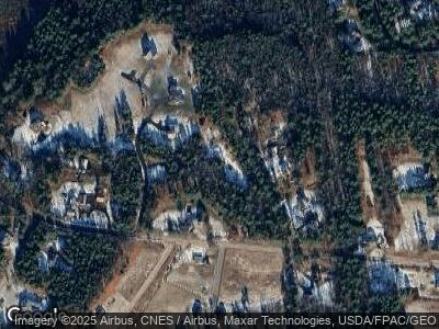
Map
Nearby Homes
- 118 Lufkin Rd
- 7 Perennial Dr
- 21 Mill Rd
- 33 Rose Dr
- 40 Edna Ln
- 144 Orchard Rd
- 598 Walnut Hill Rd
- 35 Sturbridge Ln
- 60 Oaken Ridge Unit 1
- 62 Oaken Ridge Unit 2
- 7 Parsonage Rd Unit 4
- 7 Parsonage Rd Unit 6
- 7 Parsonage Rd Unit 5
- 7 Parsonage Rd Unit 2
- 7 Parsonage Rd Unit 1
- 0 Mill Ridge Rd
- 4 Caswell Rd
- 17 Alishia Ln
- 376 New Gloucester Rd
- 25 Hyde Rd
- 33 Bacon Farm Rd
- 19 Perennial Dr
- 12 York Ridge Dr
- 32 Country Creek
- 16 Sled Run Rd
- 220 Gray Rd
- 30 Country Creek
- 202 Gray Rd
- 26 Sled Run Rd
- 23 Sled Run Rd
- 29 Country Creek
- 20 Country Creek (Formerly Lot 4
- 24 Bumpy Ln
- 10 Bumpy Ln
- 20 Country Creek
- 10 Shenandoah Hill
- 274 Gray Rd
- 274 Gray Rd Unit 2
- 213 Gray Rd
- 19 Country Creek