33 Briarwood Ln Vineyard Haven, MA 02568
Vineyard Haven NeighborhoodEstimated Value: $740,000 - $1,033,000
2
Beds
1
Bath
728
Sq Ft
$1,199/Sq Ft
Est. Value
About This Home
This home is located at 33 Briarwood Ln, Vineyard Haven, MA 02568 and is currently estimated at $872,723, approximately $1,198 per square foot. 33 Briarwood Ln is a home located in Dukes County with nearby schools including Tisbury Elementary School, Martha's Vineyard Regional High School, and Martha's Vineyard Charter School.
Ownership History
Date
Name
Owned For
Owner Type
Purchase Details
Closed on
Dec 17, 2001
Sold by
Borst Nathan M and Borst Penny J
Bought by
Mcmahon Jamie and Mcmahon Amasa
Current Estimated Value
Home Financials for this Owner
Home Financials are based on the most recent Mortgage that was taken out on this home.
Original Mortgage
$172,000
Outstanding Balance
$67,359
Interest Rate
6.6%
Mortgage Type
Purchase Money Mortgage
Estimated Equity
$805,364
Create a Home Valuation Report for This Property
The Home Valuation Report is an in-depth analysis detailing your home's value as well as a comparison with similar homes in the area
Home Values in the Area
Average Home Value in this Area
Purchase History
| Date | Buyer | Sale Price | Title Company |
|---|---|---|---|
| Mcmahon Jamie | $215,000 | -- |
Source: Public Records
Mortgage History
| Date | Status | Borrower | Loan Amount |
|---|---|---|---|
| Open | Mcmahon Jamie | $172,000 | |
| Previous Owner | Mcmahon Jamie | $28,328 |
Source: Public Records
Tax History Compared to Growth
Tax History
| Year | Tax Paid | Tax Assessment Tax Assessment Total Assessment is a certain percentage of the fair market value that is determined by local assessors to be the total taxable value of land and additions on the property. | Land | Improvement |
|---|---|---|---|---|
| 2025 | $5,275 | $696,800 | $444,800 | $252,000 |
| 2024 | $5,339 | $669,100 | $386,800 | $282,300 |
| 2023 | $4,680 | $639,300 | $368,400 | $270,900 |
| 2022 | $4,374 | $502,800 | $231,900 | $270,900 |
| 2021 | $4,085 | $445,500 | $231,900 | $213,600 |
| 2020 | $3,693 | $395,800 | $210,800 | $185,000 |
| 2019 | $3,576 | $390,000 | $210,800 | $179,200 |
| 2018 | $3,379 | $357,600 | $203,600 | $154,000 |
| 2017 | $3,053 | $335,100 | $203,600 | $131,500 |
| 2016 | $2,767 | $302,100 | $181,400 | $120,700 |
| 2015 | $2,443 | $273,900 | $158,600 | $115,300 |
Source: Public Records
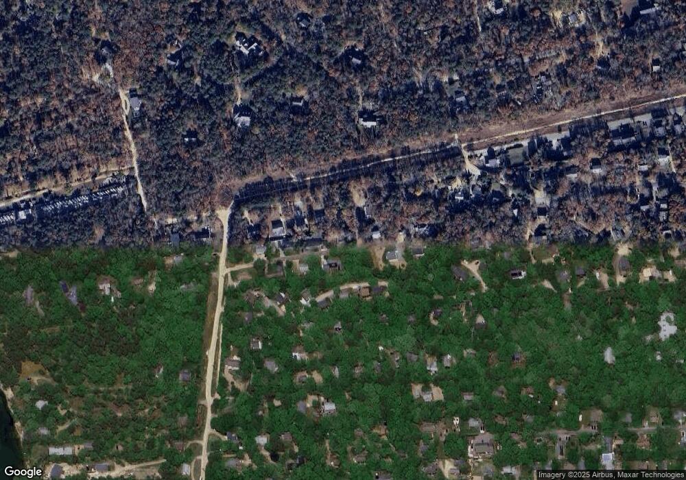
Map
Nearby Homes
- 29 Briarwood Ln
- 2 Bumpy Rd
- 0 Briarwood Ln 28 Unit 72034475
- 0 Briarwood Ln 29 Unit 72034474
- 25 Briarwood Ln
- 28 Briarwood Ln
- 30 Briarwood Ln
- 1 Bumpy Rd
- 41 Briarwood Ln
- 0 Briarwood Ln Unit 31978
- 00 Briarwood Ln
- 0 Briarwood Ln Unit 21712299
- 62 W Tashmoo Ave
- 55 Briarwood Ln
- 70 W Tashmoo Ave
- 7 W Tashmoo Ave
- 46 Briarwood Ln
- 34 W Tashmoo Ave
- 112 Irenes Way
- 135 Irenes Way