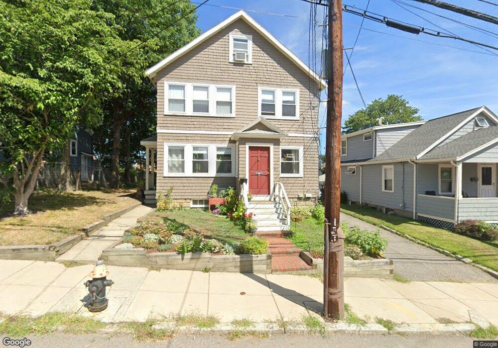
33 Brooksdale Rd Unit 35 Brighton, MA 02135
Brighton NeighborhoodEstimated Value: $1,010,000 - $1,222,950
4
Beds
2
Baths
2,534
Sq Ft
$445/Sq Ft
Est. Value
About This Home
This home is located at 33 Brooksdale Rd Unit 35, Brighton, MA 02135 and is currently estimated at $1,128,738, approximately $445 per square foot. 33 Brooksdale Rd Unit 35 is a home located in Suffolk County with nearby schools including Boston Green Academy Horace Mann Charter School, St Columbkille Partnership School, and Shaloh House Jewish Day School.
Ownership History
Date
Name
Owned For
Owner Type
Purchase Details
Closed on
Dec 31, 1993
Sold by
Home Svgs Of America
Bought by
Maloney James G
Current Estimated Value
Purchase Details
Closed on
Feb 25, 1993
Sold by
Aswad Richard P and Home Svgs Of Amer
Bought by
Home Svgs Of America
Create a Home Valuation Report for This Property
The Home Valuation Report is an in-depth analysis detailing your home's value as well as a comparison with similar homes in the area
Home Values in the Area
Average Home Value in this Area
Purchase History
| Date | Buyer | Sale Price | Title Company |
|---|---|---|---|
| Maloney James G | $120,000 | -- | |
| Home Svgs Of America | $153,191 | -- |
Source: Public Records
Mortgage History
| Date | Status | Borrower | Loan Amount |
|---|---|---|---|
| Open | Home Svgs Of America | $337,000 | |
| Closed | Home Svgs Of America | $290,000 | |
| Closed | Home Svgs Of America | $245,000 |
Source: Public Records
Tax History Compared to Growth
Tax History
| Year | Tax Paid | Tax Assessment Tax Assessment Total Assessment is a certain percentage of the fair market value that is determined by local assessors to be the total taxable value of land and additions on the property. | Land | Improvement |
|---|---|---|---|---|
| 2025 | $12,521 | $1,081,300 | $322,700 | $758,600 |
| 2024 | $11,700 | $1,073,400 | $285,600 | $787,800 |
| 2023 | $10,671 | $993,600 | $264,400 | $729,200 |
| 2022 | $10,103 | $928,600 | $247,100 | $681,500 |
| 2021 | $9,908 | $928,600 | $247,100 | $681,500 |
| 2020 | $9,685 | $917,100 | $219,700 | $697,400 |
| 2019 | $9,201 | $873,000 | $172,600 | $700,400 |
| 2018 | $8,627 | $823,200 | $172,600 | $650,600 |
| 2017 | $8,550 | $807,400 | $172,600 | $634,800 |
| 2016 | $7,930 | $720,900 | $172,600 | $548,300 |
| 2015 | $7,616 | $628,900 | $183,400 | $445,500 |
| 2014 | $6,749 | $536,500 | $183,400 | $353,100 |
Source: Public Records
Map
Nearby Homes
- 59 Riverview Rd
- 14 Converse St
- 165 Bigelow St
- 77 Bennett St Unit 2
- 300 Faneuil St
- 6 Harriet St
- 21 Upcrest Rd
- 107 Bigelow St Unit 2
- 110 Bigelow St
- 357 Faneuil St Unit 12
- 11 Faneuil St
- 365 Faneuil St Unit 2
- 144 Newton St Unit 1
- 214 Market St Unit 405
- 214 Market St Unit 201
- 200-202 Market St
- 461 Washington St Unit 301
- 36-38 Gardena St
- 154 Cypress St
- 10 Waldo Terrace
- 35 Brooksdale Rd
- 35 Brooksdale Rd Unit 1
- 35 Brooksdale Rd
- 31 Brooksdale Rd
- 37 Brooksdale Rd Unit 39
- 37 Brooksdale Rd Unit 2
- 39 Brooksdale Rd Unit 1
- 39 Brooksdale Rd Unit 2
- 39 Brooksdale Rd
- 25 Brooksdale Rd
- 65 Riverview Rd Unit 67
- 63 Riverview Rd
- 69 Riverview Rd Unit 71
- 41 Brooksdale Rd Unit 43
- 67 Riverview Rd Unit A
- 71 Falkland St
- 23 Brooksdale Rd
- 23 Brooksdale Rd Unit 3
- 23 Brooksdale Rd Unit 1x
- 23 Brooksdale Rd