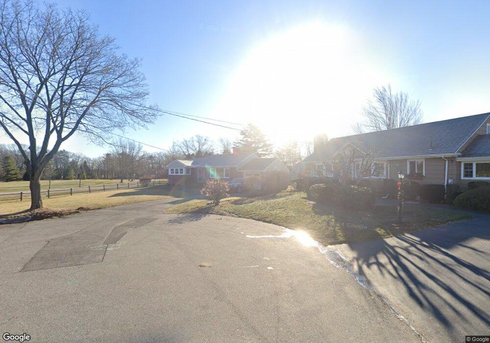
33 Brookside Ln Portland, ME 04103
Back Cove NeighborhoodEstimated Value: $678,364 - $867,000
2
Beds
2
Baths
1,383
Sq Ft
$542/Sq Ft
Est. Value
About This Home
This home is located at 33 Brookside Ln, Portland, ME 04103 and is currently estimated at $749,591, approximately $542 per square foot. 33 Brookside Ln is a home located in Cumberland County with nearby schools including Ocean Avenue Elementary School, Lyman Moore Middle School, and St. Brigid School.
Ownership History
Date
Name
Owned For
Owner Type
Purchase Details
Closed on
Sep 9, 2020
Sold by
Martin Patricia A
Bought by
Wallace Debra T and Wallace David T
Current Estimated Value
Home Financials for this Owner
Home Financials are based on the most recent Mortgage that was taken out on this home.
Original Mortgage
$381,750
Outstanding Balance
$338,778
Interest Rate
2.9%
Mortgage Type
New Conventional
Estimated Equity
$410,813
Purchase Details
Closed on
Nov 6, 2017
Sold by
Martin Peter G and Martin Barbara L
Bought by
Int Martin
Create a Home Valuation Report for This Property
The Home Valuation Report is an in-depth analysis detailing your home's value as well as a comparison with similar homes in the area
Home Values in the Area
Average Home Value in this Area
Purchase History
| Date | Buyer | Sale Price | Title Company |
|---|---|---|---|
| Wallace Debra T | -- | None Available | |
| Int Martin | -- | -- |
Source: Public Records
Mortgage History
| Date | Status | Borrower | Loan Amount |
|---|---|---|---|
| Open | Wallace Debra T | $381,750 |
Source: Public Records
Tax History Compared to Growth
Tax History
| Year | Tax Paid | Tax Assessment Tax Assessment Total Assessment is a certain percentage of the fair market value that is determined by local assessors to be the total taxable value of land and additions on the property. | Land | Improvement |
|---|---|---|---|---|
| 2024 | $7,790 | $519,000 | $172,500 | $346,500 |
| 2023 | $7,479 | $519,000 | $172,500 | $346,500 |
| 2022 | $7,064 | $519,000 | $172,500 | $346,500 |
| 2021 | $6,742 | $519,000 | $172,500 | $346,500 |
| 2020 | $5,748 | $246,600 | $137,000 | $109,600 |
| 2019 | $5,748 | $246,600 | $137,000 | $109,600 |
| 2018 | $4,932 | $246,600 | $137,000 | $109,600 |
| 2017 | $5,339 | $246,600 | $137,000 | $109,600 |
| 2016 | $5,206 | $246,600 | $137,000 | $109,600 |
| 2015 | $5,087 | $246,600 | $137,000 | $109,600 |
| 2014 | $4,932 | $246,600 | $137,000 | $109,600 |
Source: Public Records
Map
Nearby Homes
- 28 Kineo St
- 15 E Kidder St
- 29 E Kidder St
- 47 Fall Brook St
- 35 Presumpscot St W Unit B
- 35 Presumpscot St W Unit A
- 41 Presumpscot St W Unit E
- 41 Presumpscot St W Unit D
- 41 Presumpscot St W Unit F
- 41 Presumpscot St W Unit C
- 41 Presumpscot St W Unit B
- 41 Presumpscot St W Unit A
- 605 Washington Ave
- 56 Saint Jude St
- 121 Bay Street Extension Unit 10
- 593 Washington Ave
- 7 Gable Ct
- 700 Ocean Ave
- 3 Gable Ct
- 24 Lawrence Ave
- 31 Brookside Ln
- 46 Brookside Rd
- 56 Brookside Rd
- 36 Brookside Rd
- 15 Brookside Ln
- 64 Brookside Rd
- 24 Brookside Ln
- 24 Brookside Rd
- 45 Brookside Rd
- 18 Brookside Ln
- 39 Brookside Rd
- 55 Brookside Rd
- 31 Brookside Rd
- 12 Brookside Ln
- 65 Brookside Rd
- 16 Brookside Rd
- 23 Brookside Rd
- 415 Ocean Ave
- 421 Ocean Ave
- 409 Ocean Ave