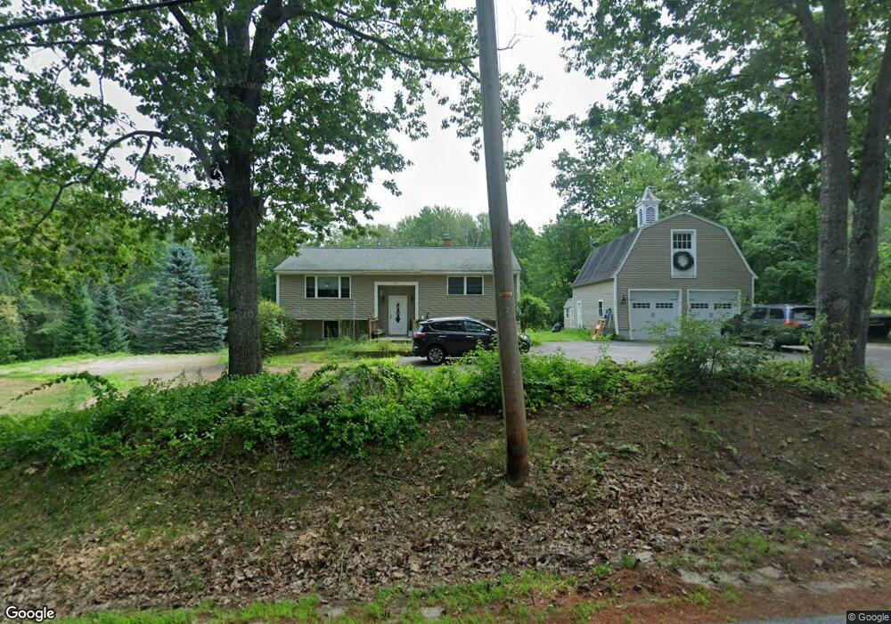
33 Bryant Rd Wolfeboro, NH 03894
Estimated Value: $392,000 - $487,000
2
Beds
2
Baths
1,632
Sq Ft
$259/Sq Ft
Est. Value
About This Home
This home is located at 33 Bryant Rd, Wolfeboro, NH 03894 and is currently estimated at $422,477, approximately $258 per square foot. 33 Bryant Rd is a home located in Carroll County with nearby schools including Carpenter Elementary School, Crescent Lake School, and Kingswood Regional Middle School.
Ownership History
Date
Name
Owned For
Owner Type
Purchase Details
Closed on
Nov 8, 2013
Sold by
Herbert D Wells Ret and Wells Herbert D
Bought by
Broussard Sean W
Current Estimated Value
Create a Home Valuation Report for This Property
The Home Valuation Report is an in-depth analysis detailing your home's value as well as a comparison with similar homes in the area
Home Values in the Area
Average Home Value in this Area
Purchase History
| Date | Buyer | Sale Price | Title Company |
|---|---|---|---|
| Broussard Sean W | $140,000 | -- | |
| Broussard Sean W | $140,000 | -- |
Source: Public Records
Mortgage History
| Date | Status | Borrower | Loan Amount |
|---|---|---|---|
| Closed | Broussard Sean W | $0 |
Source: Public Records
Tax History
| Year | Tax Paid | Tax Assessment Tax Assessment Total Assessment is a certain percentage of the fair market value that is determined by local assessors to be the total taxable value of land and additions on the property. | Land | Improvement |
|---|---|---|---|---|
| 2024 | $3,452 | $217,100 | $67,400 | $149,700 |
| 2023 | $3,189 | $217,100 | $67,400 | $149,700 |
| 2022 | $2,870 | $217,100 | $67,400 | $149,700 |
| 2021 | $2,968 | $217,100 | $67,400 | $149,700 |
| 2020 | $2,824 | $217,100 | $67,400 | $149,700 |
| 2019 | $2,764 | $174,500 | $58,000 | $116,500 |
| 2018 | $2,705 | $171,200 | $58,000 | $113,200 |
| 2017 | $2,565 | $171,200 | $58,000 | $113,200 |
| 2016 | $2,470 | $168,800 | $58,000 | $110,800 |
| 2015 | $2,355 | $168,800 | $58,000 | $110,800 |
| 2014 | $2,486 | $191,100 | $60,600 | $130,500 |
| 2013 | $2,452 | $191,100 | $60,600 | $130,500 |
Source: Public Records
Map
Nearby Homes
- 408 Governor Wentworth Hwy Unit 44
- 0 Camp Rd Unit 14
- 19 Cotton Mountain Rd
- 557 Wentworth Rd
- 42 College Rd
- 42 Point Breeze Rd
- Map 102 L 4 Center St
- 26 Orchards Rd
- 11 N Line Rd
- Map 86 L 5 Haines Hill Rd
- 42 Kings Pine Rd
- 0 Village Corner Rd Unit 15
- 7 Kenyann Dr
- 156 Trotting Track Rd
- 7 Bayberry Ln
- 4 Sunny Oaks Terrace
- 172 Center St
- Map 25-6 Upper Trask Mountain Rd
- 337 S Main St Unit Interval week 4 Janu
- 0 Fieldstone Rd Unit 33
- 43 Bryant Rd
- 29 Bryant Rd
- 32 Bryant Rd
- 26 Bryant Rd
- 53 Bryant Rd
- 14 Bryant Rd
- 10 Wildwood Ln
- 10 Wildwood Ln
- 8 Wildwood Ln
- 9 Bryant Rd
- 9 Wildwood Ln
- 9 Ryefield Terrace
- 7 Ryefield Terrace
- 13 Ryefield Terrace
- 3 Ryefield Terrace
- 11 Ryefield Terrace
- 4 Bryant Rd
- 6 Wildwood Ln
- 546 Governor Wentworth Hwy
- 524 Governor Wentworth Hwy
Your Personal Tour Guide
Ask me questions while you tour the home.