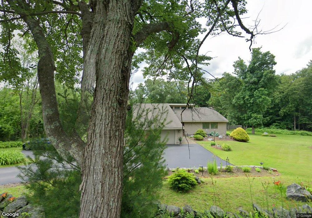
33 Burbank Rd Sutton, MA 01590
Estimated Value: $690,000 - $894,000
3
Beds
3
Baths
2,937
Sq Ft
$268/Sq Ft
Est. Value
About This Home
This home is located at 33 Burbank Rd, Sutton, MA 01590 and is currently estimated at $787,570, approximately $268 per square foot. 33 Burbank Rd is a home located in Worcester County with nearby schools including Sutton Elementary School, Sutton Middle School, and Sutton High School.
Create a Home Valuation Report for This Property
The Home Valuation Report is an in-depth analysis detailing your home's value as well as a comparison with similar homes in the area
Home Values in the Area
Average Home Value in this Area
Tax History
| Year | Tax Paid | Tax Assessment Tax Assessment Total Assessment is a certain percentage of the fair market value that is determined by local assessors to be the total taxable value of land and additions on the property. | Land | Improvement |
|---|---|---|---|---|
| 2025 | $8,055 | $670,100 | $178,900 | $491,200 |
| 2024 | $7,934 | $625,700 | $154,300 | $471,400 |
| 2023 | $8,468 | $611,400 | $135,200 | $476,200 |
| 2022 | $7,853 | $517,300 | $136,600 | $380,700 |
| 2021 | $5,863 | $505,900 | $136,600 | $369,300 |
| 2020 | $4,635 | $483,000 | $136,600 | $346,400 |
| 2019 | $7,403 | $448,100 | $136,600 | $311,500 |
| 2018 | $7,097 | $428,800 | $136,600 | $292,200 |
| 2017 | $6,927 | $419,800 | $119,900 | $299,900 |
| 2016 | $6,809 | $408,200 | $119,900 | $288,300 |
| 2015 | $6,552 | $392,800 | $119,900 | $272,900 |
| 2014 | $6,582 | $389,900 | $126,000 | $263,900 |
Source: Public Records
Map
Nearby Homes
- 1 Burbank Rd
- 99 Burbank Rd
- 99 Burbank Road Lot 182
- 168 Burbank Rd
- 5 Putnam Hill Rd
- 229 Worcester-Providence Turnpike
- 31 Central Turnpike
- 51 Central Turnpike
- 37 Sutton Rd
- 20 Millers Way Unit C
- 11 Laurel Dr
- 5 Mogren Dr
- 175 Armsby Rd
- 128 Worcester Providence Turnpike
- 124 Worcester Providence Turnpike
- 5 Hamlets Way
- 4 Jessica j Dr
- 0 W Main St
- 2 Jessica j Dr
- 152 W Main St Unit A
Your Personal Tour Guide
Ask me questions while you tour the home.