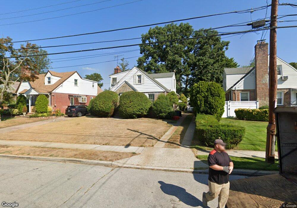
33 Carol St West Hempstead, NY 11552
Estimated Value: $401,687 - $786,000
--
Bed
--
Bath
1,821
Sq Ft
$326/Sq Ft
Est. Value
About This Home
This home is located at 33 Carol St, West Hempstead, NY 11552 and is currently estimated at $593,844, approximately $326 per square foot. 33 Carol St is a home located in Nassau County with nearby schools including Davison Avenue Intermediate School, Maurice W. Downing Primary K-2 School, and Howard T Herber Middle School.
Ownership History
Date
Name
Owned For
Owner Type
Purchase Details
Closed on
Aug 27, 2025
Sold by
Nevilles Margo E and Estate Of Douglas Errington Hule
Bought by
Roli Group Llc
Current Estimated Value
Purchase Details
Closed on
Feb 25, 2002
Sold by
Nevilles Louis J
Bought by
Long Island Affordable Ho Mes Inc
Create a Home Valuation Report for This Property
The Home Valuation Report is an in-depth analysis detailing your home's value as well as a comparison with similar homes in the area
Home Values in the Area
Average Home Value in this Area
Purchase History
| Date | Buyer | Sale Price | Title Company |
|---|---|---|---|
| Roli Group Llc | $491,000 | Landstar Title Agency | |
| Long Island Affordable Ho Mes Inc | $185,000 | Robert Foley |
Source: Public Records
Tax History Compared to Growth
Tax History
| Year | Tax Paid | Tax Assessment Tax Assessment Total Assessment is a certain percentage of the fair market value that is determined by local assessors to be the total taxable value of land and additions on the property. | Land | Improvement |
|---|---|---|---|---|
| 2025 | $16,786 | $446 | $156 | $290 |
| 2024 | $4,640 | $446 | $156 | $290 |
| 2023 | $13,687 | $446 | $156 | $290 |
| 2022 | $14,512 | $445 | $156 | $289 |
| 2021 | $15,075 | $420 | $147 | $273 |
| 2020 | $15,876 | $796 | $419 | $377 |
| 2019 | $5,149 | $796 | $419 | $377 |
| 2018 | $4,877 | $796 | $0 | $0 |
| 2017 | $8,894 | $796 | $419 | $377 |
| 2016 | $13,577 | $796 | $419 | $377 |
| 2015 | $4,381 | $796 | $419 | $377 |
| 2014 | $4,381 | $796 | $419 | $377 |
| 2013 | $4,126 | $796 | $419 | $377 |
Source: Public Records
Map
Nearby Homes
- 49 Carol St
- 5 Juliette Rd
- 312 Coventry Rd S
- 301 Coventry Rd N
- 55 Melvin Ave
- 841 Woodfield Rd
- 394 Pinebrook Ave
- 10 Pinebrook Ave
- 815 Sunshine Ave
- 1024 Mahopac Rd
- 450 Rhodes Ln
- 486 Champlain Ave
- 0 Rhodes Ln
- 1070 Mahopac Rd
- 7 Hopatcong Ave
- 461 Pinebrook Ave
- 1095 Pinebrook Ct
- 1090 Pinebrook Ct
- 924 Otsego Ct
- 1025 Ontario Rd