33 Circuit Ave Scituate, MA 02066
Estimated Value: $2,071,000 - $3,503,000
4
Beds
5
Baths
4,573
Sq Ft
$613/Sq Ft
Est. Value
About This Home
This home is located at 33 Circuit Ave, Scituate, MA 02066 and is currently estimated at $2,801,413, approximately $612 per square foot. 33 Circuit Ave is a home located in Plymouth County with nearby schools including Jenkins Elementary School, Lester J. Gates Middle School, and Scituate High School.
Ownership History
Date
Name
Owned For
Owner Type
Purchase Details
Closed on
May 13, 2013
Sold by
Oneill Michael J and Oneill Susan M
Bought by
33 Circuit Avenue Rt and Oneill Susan M
Current Estimated Value
Home Financials for this Owner
Home Financials are based on the most recent Mortgage that was taken out on this home.
Original Mortgage
$417,000
Interest Rate
3.6%
Mortgage Type
New Conventional
Purchase Details
Closed on
Nov 9, 2007
Sold by
Oneill Michael J and Oneill Susan M
Bought by
33 Circuit Avenue Rt and Oneill Susan M
Purchase Details
Closed on
Jun 12, 1995
Sold by
Scituate Fed Sb
Bought by
Pagen Richard B and Pagen Martha F
Create a Home Valuation Report for This Property
The Home Valuation Report is an in-depth analysis detailing your home's value as well as a comparison with similar homes in the area
Home Values in the Area
Average Home Value in this Area
Purchase History
| Date | Buyer | Sale Price | Title Company |
|---|---|---|---|
| 33 Circuit Avenue Rt | -- | -- | |
| Oneill Michael J | -- | -- | |
| 33 Circuit Avenue Rt | -- | -- | |
| Pagen Richard B | $265,000 | -- |
Source: Public Records
Mortgage History
| Date | Status | Borrower | Loan Amount |
|---|---|---|---|
| Closed | Oneill Michael J | $417,000 | |
| Previous Owner | Pagen Richard B | $492,000 | |
| Previous Owner | Pagen Richard B | $607,000 |
Source: Public Records
Tax History Compared to Growth
Tax History
| Year | Tax Paid | Tax Assessment Tax Assessment Total Assessment is a certain percentage of the fair market value that is determined by local assessors to be the total taxable value of land and additions on the property. | Land | Improvement |
|---|---|---|---|---|
| 2025 | $26,718 | $2,674,500 | $1,226,000 | $1,448,500 |
| 2024 | $25,979 | $2,507,600 | $1,165,900 | $1,341,700 |
| 2023 | $23,209 | $2,242,400 | $1,115,700 | $1,126,700 |
| 2022 | $23,209 | $1,839,100 | $879,600 | $959,500 |
| 2021 | $22,825 | $1,712,300 | $837,700 | $874,600 |
| 2020 | $22,526 | $1,668,600 | $805,400 | $863,200 |
| 2019 | $23,394 | $1,702,600 | $888,300 | $814,300 |
| 2018 | $19,909 | $1,427,200 | $739,700 | $687,500 |
| 2017 | $19,198 | $1,362,500 | $698,000 | $664,500 |
| 2016 | $18,972 | $1,341,700 | $677,200 | $664,500 |
| 2015 | $16,347 | $1,247,900 | $583,400 | $664,500 |
Source: Public Records
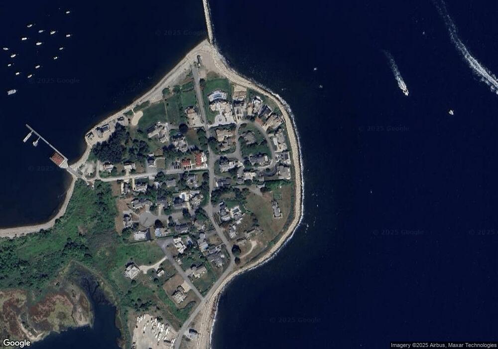
Map
Nearby Homes
- 23 Sunset Rd
- 25 Morton Place
- 91 Front St Unit 106
- 32 Barker Rd Unit 3
- 12 Richfield Rd
- 50 First Parish Rd
- 105 Turner Rd
- 86 Hatherly Rd
- 76 A Brook St
- 76 A Brook St Unit 1
- 23 Oceanside Dr
- 46 Tilden Rd
- 33 Oceanside Dr
- 59 Greenfield Ln
- 40 Driftway Unit 27
- 40 Driftway Unit 13
- 2 Collier Rd
- 17 Bradford Ave
- 111 Elm St
- 115 Elm St
- 30 Circuit Ave
- 170 Edward Foster Rd
- 172 Edward Foster Rd
- 35 Circuit Ave
- 27 Circuit Ave Unit 29
- 12 Circuit Ave
- 178 Edward Foster Rd
- 25 Circuit Ave
- 160 Edward Foster Rd
- 168 Edward Foster Rd
- 21 Circuit Ave
- 180 Edward Foster Rd
- 154 Edward Foster Rd
- 154 Edward Foster Rd Unit 1
- 169 Edward Foster Rd
- 165 Edward Foster Rd
- 13 Circuit Ave
- 184 Edward Foster Rd
- 17 Circuit Ave
- 19 Circuit Ave