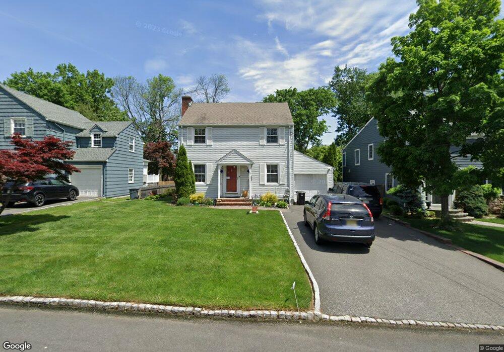
33 Colfax Rd Springfield, NJ 07081
Estimated Value: $693,931 - $749,000
Studio
--
Bath
1,900
Sq Ft
$381/Sq Ft
Est. Value
About This Home
This home is located at 33 Colfax Rd, Springfield, NJ 07081 and is currently estimated at $724,483, approximately $381 per square foot. 33 Colfax Rd is a home located in Union County with nearby schools including Jonathan Dayton High School, St James The Apostle School, and The Winston School.
Ownership History
Date
Name
Owned For
Owner Type
Purchase Details
Closed on
Jul 5, 2000
Sold by
Rittweger Norman and Rittweger Rose
Bought by
Rittweger Norman and Rittweger Rose
Current Estimated Value
Purchase Details
Closed on
Sep 20, 1999
Sold by
Wentz George W and Wentz Patricia M
Bought by
Rittweger Norman and Rittweger Rose
Home Financials for this Owner
Home Financials are based on the most recent Mortgage that was taken out on this home.
Original Mortgage
$150,000
Outstanding Balance
$45,426
Interest Rate
8.1%
Estimated Equity
$679,057
Create a Home Valuation Report for This Property
The Home Valuation Report is an in-depth analysis detailing your home's value as well as a comparison with similar homes in the area
Home Values in the Area
Average Home Value in this Area
Purchase History
| Date | Buyer | Sale Price | Title Company |
|---|---|---|---|
| Rittweger Norman | -- | -- | |
| Rittweger Norman | $294,500 | Fidelity National Title Ins |
Source: Public Records
Mortgage History
| Date | Status | Borrower | Loan Amount |
|---|---|---|---|
| Open | Rittweger Norman | $150,000 |
Source: Public Records
Tax History
| Year | Tax Paid | Tax Assessment Tax Assessment Total Assessment is a certain percentage of the fair market value that is determined by local assessors to be the total taxable value of land and additions on the property. | Land | Improvement |
|---|---|---|---|---|
| 2025 | $13,172 | $554,600 | $201,300 | $353,300 |
| 2024 | $12,955 | $554,600 | $201,300 | $353,300 |
| 2023 | $12,955 | $554,600 | $201,300 | $353,300 |
| 2022 | $12,029 | $554,600 | $201,300 | $353,300 |
| 2021 | $11,823 | $158,800 | $70,600 | $88,200 |
| 2020 | $11,638 | $158,800 | $70,600 | $88,200 |
| 2019 | $11,481 | $158,800 | $70,600 | $88,200 |
| 2018 | $11,275 | $158,800 | $70,600 | $88,200 |
| 2017 | $10,965 | $158,800 | $70,600 | $88,200 |
| 2016 | $10,752 | $158,800 | $70,600 | $88,200 |
| 2015 | $10,627 | $158,800 | $70,600 | $88,200 |
| 2014 | $10,427 | $158,800 | $70,600 | $88,200 |
Source: Public Records
Map
Nearby Homes
- 28 Molter Ave
- 119 Wellington Ave
- 66 Springbrook Rd
- 46 Elmwood Place
- 45 Ocean St Unit B
- 29 Keeler St
- 19A Ocean St Unit A
- 27 Willow St Unit A
- 27 Willow St
- 8 Claremont Dr
- 8 Willow St
- 24 Brook St
- 7 Willow St
- 118 Spring St
- 7 Canterbury Ln
- 298 Main St
- 21A Troy Dr
- 5B Troy Dr Unit 1
- 1A Troy Dr Unit A
- 57C Troy Dr
Your Personal Tour Guide
Ask me questions while you tour the home.