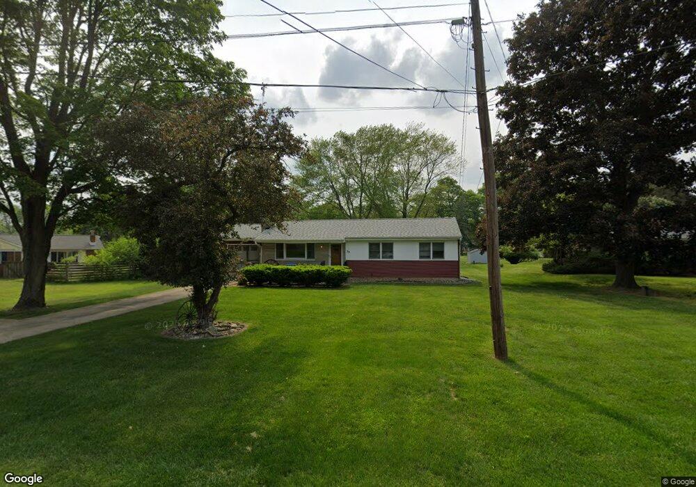
33 Columbine Ln Battle Creek, MI 49015
Minges Brook Riverside NeighborhoodEstimated Value: $216,588 - $234,000
3
Beds
1
Bath
1,170
Sq Ft
$194/Sq Ft
Est. Value
About This Home
This home is located at 33 Columbine Ln, Battle Creek, MI 49015 and is currently estimated at $226,647, approximately $193 per square foot. 33 Columbine Ln is a home located in Calhoun County with nearby schools including Lakeview Middle School, Lakeview High School, and Arbor Academy.
Ownership History
Date
Name
Owned For
Owner Type
Purchase Details
Closed on
Oct 8, 2014
Sold by
Holder M Joyce and Holder John T
Bought by
Holder M Joyce and M Joyce Holder Revocable Trust
Current Estimated Value
Home Financials for this Owner
Home Financials are based on the most recent Mortgage that was taken out on this home.
Original Mortgage
$10,000
Interest Rate
4.13%
Mortgage Type
Unknown
Purchase Details
Closed on
Jun 16, 1999
Bought by
Holder Trustees
Create a Home Valuation Report for This Property
The Home Valuation Report is an in-depth analysis detailing your home's value as well as a comparison with similar homes in the area
Home Values in the Area
Average Home Value in this Area
Purchase History
| Date | Buyer | Sale Price | Title Company |
|---|---|---|---|
| Holder M Joyce | -- | None Available | |
| Holder Trustees | -- | -- |
Source: Public Records
Mortgage History
| Date | Status | Borrower | Loan Amount |
|---|---|---|---|
| Closed | Holder M Joyce | $10,000 |
Source: Public Records
Tax History Compared to Growth
Tax History
| Year | Tax Paid | Tax Assessment Tax Assessment Total Assessment is a certain percentage of the fair market value that is determined by local assessors to be the total taxable value of land and additions on the property. | Land | Improvement |
|---|---|---|---|---|
| 2025 | -- | $95,900 | $0 | $0 |
| 2024 | $2,101 | $89,223 | $0 | $0 |
| 2023 | $2,406 | $78,037 | $0 | $0 |
| 2022 | $1,897 | $68,585 | $0 | $0 |
| 2021 | $2,329 | $64,662 | $0 | $0 |
| 2020 | $2,192 | $59,596 | $0 | $0 |
| 2019 | $2,212 | $57,127 | $0 | $0 |
| 2018 | $2,212 | $54,832 | $5,003 | $49,829 |
| 2017 | $2,082 | $51,787 | $0 | $0 |
| 2016 | $2,033 | $45,933 | $0 | $0 |
| 2015 | $1,891 | $43,119 | $5,404 | $37,715 |
| 2014 | $1,891 | $42,283 | $5,404 | $36,879 |
Source: Public Records
Map
Nearby Homes
- 15 Timothy Ln
- 292 W Hamilton Ln
- 4281 Watkins Rd
- 4275 Watkins Rd
- 117 Pheasant Run
- 220 Deer Path Ln
- 219 W Hamilton Ln
- 244 Deer Path Ln
- 4293 Beckley Rd
- 168 Pheasant Run
- 29 Langley Rd E
- 25 Minges Rd W
- 33 Langley Rd E
- 12800 Minges Rd S
- 211 Beckwith Dr
- 215 Beckwith Dr
- 148 Wahwahtaysee Way
- 66 Wealthy
- 12740 Minges Rd S
- 15 Birch Hill Dr
- 41 Columbine Ln
- 265 Minges Rd S
- 271 Minges Rd S
- 46 Columbine Ln
- 34 Columbine Ln
- 259 Minges Rd S
- 109 Peachtree Dr
- 40 Columbine Ln
- 100 Peachtree Dr
- 104 Peachtree Dr
- 277 Minges Rd S
- 113 Peachtree Dr
- 33 Woodbine Ln
- 41 Woodbine Ln
- 204 Minges Rd S
- 108 Peachtree Dr
- 34 Birchwood Ln
- 364 Watkins Ln
- 279 Minges Rd S
- 183 Minges Rd S