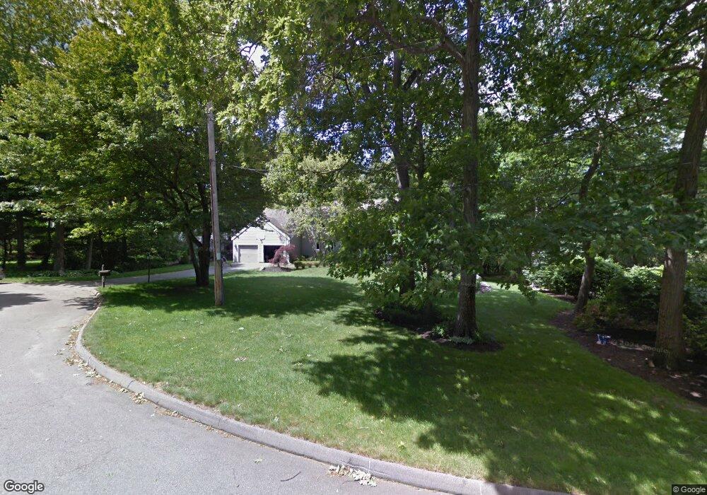
33 Corey Ln Milton, MA 02186
Brush Hill NeighborhoodEstimated Value: $1,474,000 - $2,020,000
4
Beds
4
Baths
3,216
Sq Ft
$554/Sq Ft
Est. Value
About This Home
This home is located at 33 Corey Ln, Milton, MA 02186 and is currently estimated at $1,780,916, approximately $553 per square foot. 33 Corey Ln is a home located in Norfolk County with nearby schools including Milton High School, Boston Renaissance Charter Public School, and Delphi Academy.
Ownership History
Date
Name
Owned For
Owner Type
Purchase Details
Closed on
Jul 1, 2025
Sold by
Okali Edward and Regis Carol
Bought by
Edward Okali 2025 Lt and Okali
Current Estimated Value
Purchase Details
Closed on
May 30, 2014
Sold by
Waters Arnett L and Eastern Bank
Bought by
Okali Edward and Regis Carol
Home Financials for this Owner
Home Financials are based on the most recent Mortgage that was taken out on this home.
Original Mortgage
$540,000
Interest Rate
4.26%
Mortgage Type
Purchase Money Mortgage
Purchase Details
Closed on
Jul 1, 1999
Sold by
Sarofim Adel and Sarofim Leticia
Bought by
Schoof Janet L
Home Financials for this Owner
Home Financials are based on the most recent Mortgage that was taken out on this home.
Original Mortgage
$421,850
Interest Rate
7.19%
Mortgage Type
Purchase Money Mortgage
Create a Home Valuation Report for This Property
The Home Valuation Report is an in-depth analysis detailing your home's value as well as a comparison with similar homes in the area
Home Values in the Area
Average Home Value in this Area
Purchase History
We collect this data history from publicly available records. To have your information removed, we recommend requesting removal directly through your county’s website.
| Date | Buyer | Sale Price | Title Company |
|---|---|---|---|
| Edward Okali 2025 Lt | -- | -- | |
| Edward Okali 2025 Lt | -- | -- | |
| Okali Edward | $755,000 | -- | |
| Okali Edward | $755,000 | -- | |
| Okali Edward | $755,000 | -- | |
| Schoof Janet L | $562,500 | -- |
Source: Public Records
Mortgage History
We collect this data history from publicly available records. To have your information removed, we recommend requesting removal directly through your county’s website.
| Date | Status | Borrower | Loan Amount |
|---|---|---|---|
| Previous Owner | Okali Edward | $540,000 | |
| Previous Owner | Schoof Janet L | $421,850 | |
| Previous Owner | Schoof Janet L | $220,000 |
Source: Public Records
Tax History
| Year | Tax Paid | Tax Assessment Tax Assessment Total Assessment is a certain percentage of the fair market value that is determined by local assessors to be the total taxable value of land and additions on the property. | Land | Improvement |
|---|---|---|---|---|
| 2025 | $19,270 | $1,737,600 | $831,200 | $906,400 |
| 2024 | $18,386 | $1,683,700 | $791,700 | $892,000 |
| 2023 | $17,537 | $1,538,300 | $793,600 | $744,700 |
| 2022 | $17,154 | $1,375,600 | $793,600 | $582,000 |
| 2021 | $16,405 | $1,249,400 | $634,500 | $614,900 |
| 2020 | $16,012 | $1,220,400 | $634,400 | $586,000 |
| 2019 | $15,616 | $1,184,800 | $615,900 | $568,900 |
| 2018 | $13,784 | $998,100 | $428,500 | $569,600 |
| 2017 | $12,906 | $951,800 | $408,000 | $543,800 |
| 2016 | $12,714 | $941,800 | $408,000 | $533,800 |
| 2015 | $11,673 | $837,400 | $313,600 | $523,800 |
Source: Public Records
Map
Nearby Homes
- 3 Stone Bridge Ln
- 375 Atherton St
- 39 Park St
- 995 Brush Hill Rd
- 135 Milton St
- 23 Woodmere Dr Unit 13
- 29 Woodmere Dr Unit 29
- 34 Brush Hill Ln
- 1632 Canton Ave
- 285 Fairmount Ave
- 90 Countryside Ln
- 256 Robbins St
- 6 Kinsale Ln
- 45 Adanac Rd
- 39 Badger Rd
- 73 Williams Ave
- 6 Van Brunt St
- 5 Adanac Rd
- 50 Neponset Ave
- 255 Neponset Valley Pkwy
- 55 Corey Ln
- 1296 Canton Ave
- 1288 Canton Ave
- 1300 Canton Ave
- 1278 Canton Ave
- 1250 Canton Ave
- 303 Atherton St
- 1320 Canton Ave
- 1325 Canton Ave
- 1330 Canton Ave
- 1269 Canton Ave
- 77 Corey Ln
- 321 Atherton St
- 25 Woodland Rd
- 1303 Canton Ave
- 245 Atherton St
- 1335 Canton Ave
- 55 Woodland Rd
- 45 Woodland Rd
- 1238 Canton Ave
Your Personal Tour Guide
Ask me questions while you tour the home.