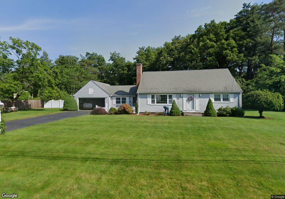
33 Decorie Dr Wilbraham, MA 01095
Estimated Value: $485,161 - $619,000
4
Beds
2
Baths
2,106
Sq Ft
$255/Sq Ft
Est. Value
About This Home
This home is located at 33 Decorie Dr, Wilbraham, MA 01095 and is currently estimated at $537,540, approximately $255 per square foot. 33 Decorie Dr is a home located in Hampden County with nearby schools including Minnechaug Regional High School, Springfield International Charter School, and Wilbraham & Monson Academy.
Ownership History
Date
Name
Owned For
Owner Type
Purchase Details
Closed on
Jan 19, 1996
Sold by
Bfp Rt
Bought by
Farrell Robert G and Farrell Pamela H
Current Estimated Value
Home Financials for this Owner
Home Financials are based on the most recent Mortgage that was taken out on this home.
Original Mortgage
$133,000
Outstanding Balance
$2,666
Interest Rate
7.16%
Mortgage Type
Purchase Money Mortgage
Estimated Equity
$534,874
Purchase Details
Closed on
Jul 12, 1989
Sold by
Baker Robert E
Bought by
Baker Jordan S
Create a Home Valuation Report for This Property
The Home Valuation Report is an in-depth analysis detailing your home's value as well as a comparison with similar homes in the area
Home Values in the Area
Average Home Value in this Area
Purchase History
| Date | Buyer | Sale Price | Title Company |
|---|---|---|---|
| Farrell Robert G | $166,500 | -- | |
| Baker Jordan S | $175,000 | -- |
Source: Public Records
Mortgage History
| Date | Status | Borrower | Loan Amount |
|---|---|---|---|
| Open | Baker Jordan S | $25,000 | |
| Open | Baker Jordan S | $133,000 |
Source: Public Records
Tax History Compared to Growth
Tax History
| Year | Tax Paid | Tax Assessment Tax Assessment Total Assessment is a certain percentage of the fair market value that is determined by local assessors to be the total taxable value of land and additions on the property. | Land | Improvement |
|---|---|---|---|---|
| 2025 | $7,789 | $435,600 | $104,100 | $331,500 |
| 2024 | $7,387 | $399,300 | $104,100 | $295,200 |
| 2023 | $7,118 | $371,900 | $104,100 | $267,800 |
| 2022 | $7,118 | $347,400 | $104,100 | $243,300 |
| 2021 | $6,475 | $282,000 | $110,900 | $171,100 |
| 2020 | $6,311 | $282,000 | $110,900 | $171,100 |
| 2019 | $5,877 | $269,600 | $110,900 | $158,700 |
| 2018 | $5,717 | $252,500 | $110,900 | $141,600 |
| 2017 | $5,555 | $252,500 | $110,900 | $141,600 |
| 2016 | $5,536 | $256,300 | $123,100 | $133,200 |
| 2015 | $5,352 | $256,300 | $123,100 | $133,200 |
Source: Public Records
Map
Nearby Homes
- 28 Decorie Dr
- 79 High Pine Cir
- 69 High Pine Cir
- 2 Bayberry Dr Unit 51
- 8 Patriot Ridge Ln
- 54 High Pine Cir
- 46 Washington Rd
- 35 Lake Dr
- 4 Hillcrest Dr
- 20 Old Orchard Rd
- 6 Teak Terrace Unit 24
- 99 Sandalwood Dr Unit site 00
- 2 Vista Rd
- 103 Sandalwood Dr Unit site 00
- 57 Sandalwood Dr Unit site 61
- 111 Sandalwood Dr Unit site 00
- 10 Forest Glade Dr
- 474 Mountain Rd
- 19 Linwood Dr
- 26 Sandalwood Dr