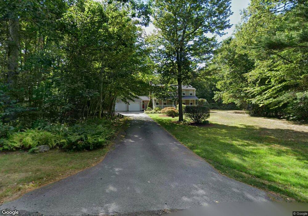
33 Dogwood Rd N Hubbardston, MA 01452
Estimated Value: $480,825 - $543,000
3
Beds
2
Baths
1,800
Sq Ft
$288/Sq Ft
Est. Value
About This Home
This home is located at 33 Dogwood Rd N, Hubbardston, MA 01452 and is currently estimated at $518,456, approximately $288 per square foot. 33 Dogwood Rd N is a home located in Worcester County with nearby schools including Quabbin Regional Middle School and Quabbin Regional High School.
Ownership History
Date
Name
Owned For
Owner Type
Purchase Details
Closed on
Aug 23, 2007
Sold by
Geary Michele M
Bought by
Heath Greta C
Current Estimated Value
Home Financials for this Owner
Home Financials are based on the most recent Mortgage that was taken out on this home.
Original Mortgage
$110,000
Interest Rate
6.78%
Mortgage Type
Purchase Money Mortgage
Purchase Details
Closed on
Jun 12, 1997
Sold by
Blueberry Rt and Drouin Allan J
Bought by
Geary William P and White Michelle M
Create a Home Valuation Report for This Property
The Home Valuation Report is an in-depth analysis detailing your home's value as well as a comparison with similar homes in the area
Home Values in the Area
Average Home Value in this Area
Purchase History
| Date | Buyer | Sale Price | Title Company |
|---|---|---|---|
| Heath Greta C | $284,900 | -- | |
| Geary William P | $123,696 | -- |
Source: Public Records
Mortgage History
| Date | Status | Borrower | Loan Amount |
|---|---|---|---|
| Open | Geary William P | $115,000 | |
| Closed | Geary William P | $105,000 | |
| Closed | Heath Greta C | $110,000 | |
| Previous Owner | Geary William P | $170,000 |
Source: Public Records
Tax History Compared to Growth
Tax History
| Year | Tax Paid | Tax Assessment Tax Assessment Total Assessment is a certain percentage of the fair market value that is determined by local assessors to be the total taxable value of land and additions on the property. | Land | Improvement |
|---|---|---|---|---|
| 2025 | $4,798 | $410,800 | $64,500 | $346,300 |
| 2024 | $4,646 | $394,100 | $44,800 | $349,300 |
| 2023 | $3,912 | $300,200 | $39,200 | $261,000 |
| 2022 | $4,203 | $300,200 | $39,200 | $261,000 |
| 2021 | $4,149 | $284,300 | $39,200 | $245,100 |
| 2020 | $4,144 | $279,600 | $39,200 | $240,400 |
| 2019 | $2 | $267,500 | $53,600 | $213,900 |
| 2018 | $3,655 | $260,300 | $53,600 | $206,700 |
| 2017 | $2,259 | $260,300 | $53,600 | $206,700 |
| 2016 | $3,414 | $214,700 | $53,600 | $161,100 |
| 2015 | $3,423 | $229,400 | $53,600 | $175,800 |
| 2014 | $3,325 | $229,000 | $53,600 | $175,400 |
Source: Public Records
Map
Nearby Homes