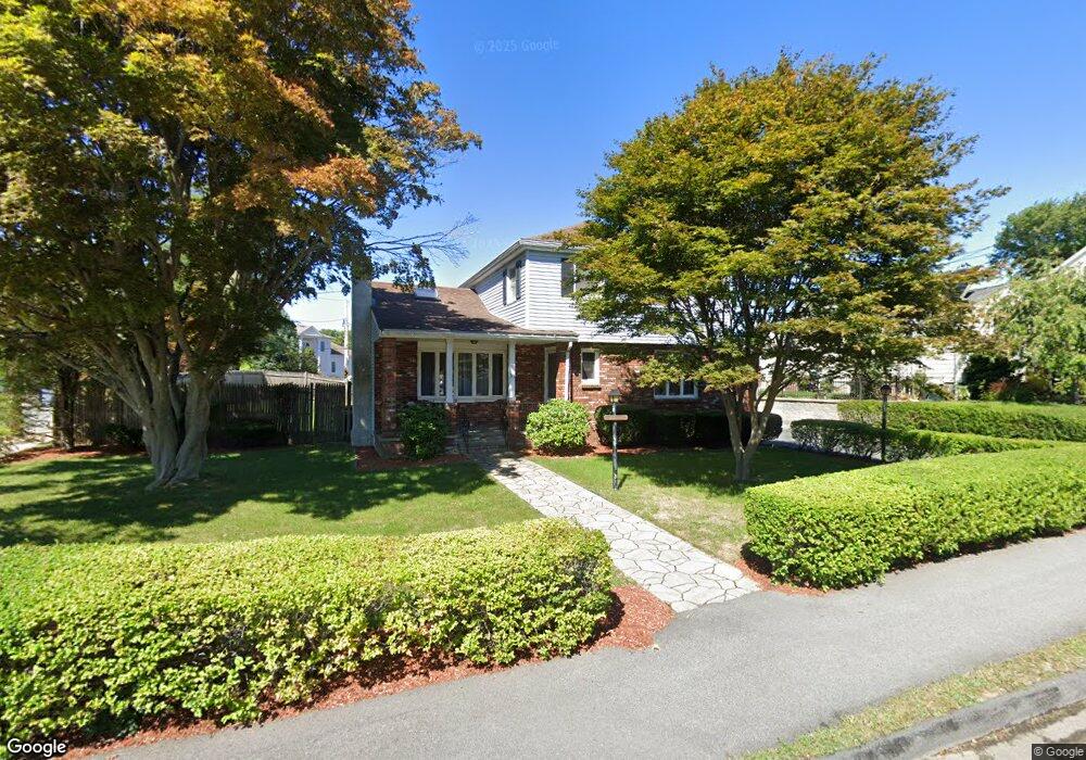
33 Drury Ln Waltham, MA 02452
North Waltham NeighborhoodEstimated Value: $1,048,000 - $1,136,000
4
Beds
3
Baths
2,754
Sq Ft
$393/Sq Ft
Est. Value
About This Home
This home is located at 33 Drury Ln, Waltham, MA 02452 and is currently estimated at $1,082,386, approximately $393 per square foot. 33 Drury Ln is a home located in Middlesex County with nearby schools including Northeast Elementary School, John F Kennedy Middle School, and Waltham Sr High School.
Ownership History
Date
Name
Owned For
Owner Type
Purchase Details
Closed on
Jul 12, 2002
Sold by
Pallone Ralph B and Raymonda Pallone J
Bought by
Bechwati Ibrahim
Current Estimated Value
Home Financials for this Owner
Home Financials are based on the most recent Mortgage that was taken out on this home.
Original Mortgage
$300,000
Outstanding Balance
$127,897
Interest Rate
6.79%
Mortgage Type
Purchase Money Mortgage
Estimated Equity
$954,489
Create a Home Valuation Report for This Property
The Home Valuation Report is an in-depth analysis detailing your home's value as well as a comparison with similar homes in the area
Home Values in the Area
Average Home Value in this Area
Purchase History
| Date | Buyer | Sale Price | Title Company |
|---|---|---|---|
| Bechwati Ibrahim | $429,900 | -- |
Source: Public Records
Mortgage History
| Date | Status | Borrower | Loan Amount |
|---|---|---|---|
| Open | Bechwati Ibrahim | $300,000 |
Source: Public Records
Tax History Compared to Growth
Tax History
| Year | Tax Paid | Tax Assessment Tax Assessment Total Assessment is a certain percentage of the fair market value that is determined by local assessors to be the total taxable value of land and additions on the property. | Land | Improvement |
|---|---|---|---|---|
| 2025 | $8,197 | $834,700 | $431,900 | $402,800 |
| 2024 | $7,810 | $810,200 | $412,800 | $397,400 |
| 2023 | $7,699 | $746,000 | $374,600 | $371,400 |
| 2022 | $7,702 | $691,400 | $336,400 | $355,000 |
| 2021 | $7,540 | $666,100 | $336,400 | $329,700 |
| 2020 | $7,390 | $618,400 | $313,400 | $305,000 |
| 2019 | $7,160 | $565,600 | $309,600 | $256,000 |
| 2018 | $6,533 | $518,100 | $286,700 | $231,400 |
| 2017 | $6,171 | $491,300 | $259,900 | $231,400 |
| 2016 | $5,826 | $476,000 | $244,600 | $231,400 |
| 2015 | $5,635 | $429,200 | $214,100 | $215,100 |
Source: Public Records
Map
Nearby Homes
- 107 Clocktower Dr Unit 3302
- 170 Clocktower Dr Unit 5103
- 87 Clocktower Dr Unit 2207
- 750 Trapelo Rd
- 30 Jacqueline Rd Unit C
- 65 Woburn St
- 55 Circle Dr
- 1105 Lexington St Unit 102
- 23 Wight St
- 116 Raffaele Dr
- 30 Wampum Ave
- 129 Lake St
- 14 Piedmont Ave
- 28 College Farm Rd Unit 2
- 311 Concord Ave
- 70 Rosewood Dr
- 44 Sachem St
- 65 Montclair Ave
- 5 April Ln Unit 12
- 234 Lake St