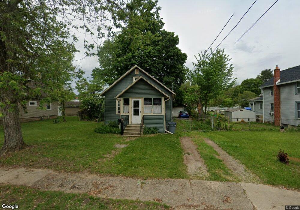
33 Dunning Ave Battle Creek, MI 49037
Urbandale NeighborhoodEstimated Value: $114,000 - $123,000
2
Beds
1
Bath
660
Sq Ft
$180/Sq Ft
Est. Value
About This Home
This home is located at 33 Dunning Ave, Battle Creek, MI 49037 and is currently estimated at $118,678, approximately $179 per square foot. 33 Dunning Ave is a home located in Calhoun County with nearby schools including Northwestern Middle School, Battle Creek Central High School, and Battle Creek Montessori Academy.
Ownership History
Date
Name
Owned For
Owner Type
Purchase Details
Closed on
Aug 14, 1998
Sold by
Robinson Et Al Dorothy M
Bought by
Robinson Kenneth L and Robinson Deborah
Current Estimated Value
Purchase Details
Closed on
May 5, 1998
Sold by
Robinson Estate Ernest E
Bought by
Robinson Dorothy A
Purchase Details
Closed on
Apr 3, 1998
Sold by
Robinson Et Al Dorothy M
Bought by
Robinson Kenneth L and Robinson Deborah
Purchase Details
Closed on
Mar 30, 1998
Sold by
Robinson Dorothy M
Bought by
Winter Et Al Roland G
Create a Home Valuation Report for This Property
The Home Valuation Report is an in-depth analysis detailing your home's value as well as a comparison with similar homes in the area
Home Values in the Area
Average Home Value in this Area
Purchase History
| Date | Buyer | Sale Price | Title Company |
|---|---|---|---|
| Robinson Kenneth L | $48,500 | -- | |
| Polen | $48,500 | -- | |
| Robinson Dorothy A | -- | -- | |
| Robinson Kenneth L | $25,000 | -- | |
| Winter Et Al Roland G | -- | -- |
Source: Public Records
Tax History Compared to Growth
Tax History
| Year | Tax Paid | Tax Assessment Tax Assessment Total Assessment is a certain percentage of the fair market value that is determined by local assessors to be the total taxable value of land and additions on the property. | Land | Improvement |
|---|---|---|---|---|
| 2025 | -- | $44,600 | $0 | $0 |
| 2024 | $732 | $41,655 | $0 | $0 |
| 2023 | $837 | $38,894 | $0 | $0 |
| 2022 | $661 | $29,674 | $0 | $0 |
| 2021 | $790 | $28,089 | $0 | $0 |
| 2020 | $743 | $26,234 | $0 | $0 |
| 2019 | $740 | $25,157 | $0 | $0 |
| 2018 | $740 | $22,431 | $1,252 | $21,179 |
| 2017 | $717 | $21,192 | $0 | $0 |
| 2016 | $716 | $17,725 | $0 | $0 |
| 2015 | $756 | $15,462 | $5,240 | $10,222 |
| 2014 | $756 | $16,406 | $5,240 | $11,166 |
Source: Public Records
Map
Nearby Homes
- 51 Dunning Ave
- 134 Willard Ave E
- 137 Dunning Ave
- 42 Althea Ave
- 1 Brizse Ave
- 1528 Michigan Ave W
- 1111 Michigan Ave W
- 124 Parkridge Dr
- 33 Shellenberger Ave
- 35 Avery Ave
- 0 Bynum Drive Lots 29 & 30 Dr Unit 25025910
- 40 Kellogg St
- 163 Spaulding Ave W
- 81 Taylor Ave
- 116 Geneva Ave
- 387 Waubascon Rd
- 129 Fox Ave
- 1823 Michigan Ave W
- 155 Lakeway Dr
- 180 Woodlawn Ave N
- 39 Dunning Ave
- 36 Dunning Ave
- 43 Dunning Ave
- 26 Dunning Ave
- 44 Dunning Ave
- 27 Dunning Ave
- 17 Dunning Ave
- 18 Dunning Ave
- 50 Dunning Ave
- 9 Dunning Ave
- 56 Dunning Ave
- 62 Dunning Ave
- 65 Dunning Ave
- 1306 W Michigan Ave Unit 10
- 1306 W Michigan Ave Unit 11
- 1306 W Michigan Ave Unit 3
- 1306 W Michigan Ave
- 71 Dunning Ave
- 70 Dunning Ave
- 1321 W Michigan Ave