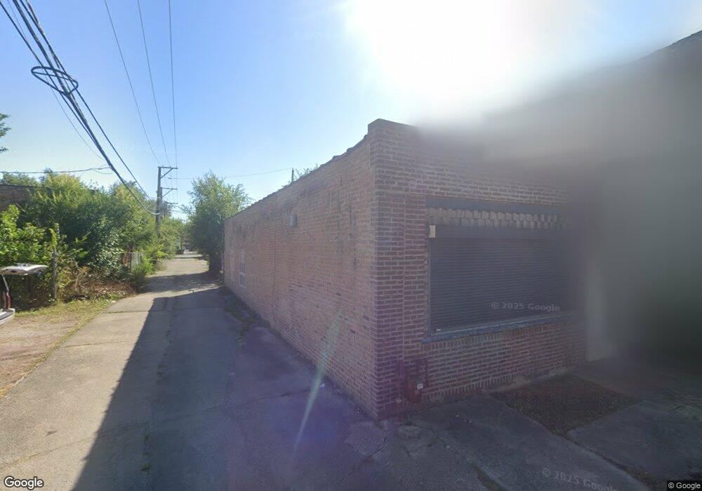
33 E 113th St Chicago, IL 60628
Roseland NeighborhoodEstimated Value: $29,912
Studio
--
Bath
1,450
Sq Ft
$21/Sq Ft
Est. Value
About This Home
This home is located at 33 E 113th St, Chicago, IL 60628 and is currently priced at $29,912, approximately $20 per square foot. 33 E 113th St is a home located in Cook County with nearby schools including Curtis Elementary School, Corliss High School, and CICS Prairie.
Ownership History
Date
Name
Owned For
Owner Type
Purchase Details
Closed on
Aug 30, 2023
Sold by
Yarbrough Karen A
Bought by
Cook County Land Bk Authority
Current Estimated Value
Purchase Details
Closed on
May 23, 2016
Sold by
Orr David D
Bought by
Alliance Partners Lt
Purchase Details
Closed on
Jul 6, 2000
Sold by
O P Real Estate Inc
Bought by
Wilford Eric
Home Financials for this Owner
Home Financials are based on the most recent Mortgage that was taken out on this home.
Original Mortgage
$7,000
Interest Rate
8.31%
Mortgage Type
Commercial
Create a Home Valuation Report for This Property
The Home Valuation Report is an in-depth analysis detailing your home's value as well as a comparison with similar homes in the area
Home Values in the Area
Average Home Value in this Area
Purchase History
| Date | Buyer | Sale Price | Title Company |
|---|---|---|---|
| Cook County Land Bk Authority | -- | None Listed On Document | |
| Alliance Partners Lt | -- | Attorney | |
| Wilford Eric | $17,000 | -- |
Source: Public Records
Mortgage History
| Date | Status | Borrower | Loan Amount |
|---|---|---|---|
| Previous Owner | Wilford Eric | $7,000 |
Source: Public Records
Tax History
| Year | Tax Paid | Tax Assessment Tax Assessment Total Assessment is a certain percentage of the fair market value that is determined by local assessors to be the total taxable value of land and additions on the property. | Land | Improvement |
|---|---|---|---|---|
| 2025 | $4,455 | -- | -- | -- |
| 2024 | $4,455 | $33,251 | $8,283 | $24,968 |
| 2023 | $4,346 | $21,067 | $4,556 | $16,511 |
| 2022 | $4,346 | $21,067 | $4,556 | $16,511 |
| 2021 | $4,248 | $21,065 | $4,555 | $16,510 |
| 2020 | $4,808 | $21,531 | $4,555 | $16,976 |
| 2019 | $4,337 | $21,531 | $4,555 | $16,976 |
| 2018 | $4,264 | $21,531 | $4,555 | $16,976 |
| 2017 | $4,286 | $19,868 | $3,727 | $16,141 |
| 2016 | $3,989 | $19,868 | $3,727 | $16,141 |
| 2015 | $978 | $5,325 | $3,727 | $1,598 |
| 2014 | $3,666 | $19,709 | $3,727 | $15,982 |
| 2013 | $3,593 | $19,709 | $3,727 | $15,982 |
Source: Public Records
Map
Nearby Homes
- 1 W 112th Place
- 118 W 113th Place
- 11241 S Michigan Ave
- 26 W 114th St
- 62 W 113th St
- 11333 S Edbrooke Ave
- 11316 S Indiana Ave
- 11246 S Indiana Ave
- 106 W 114th St
- 6 W 111th Place
- 11432 S Indiana Ave
- 11440 S Indiana Ave
- 120 W 115th St
- 147 W 111th Place
- 11442 S Prairie Ave
- 120 E Kensington Ave
- 11541 S Lafayette Ave
- 221 W 112th Place
- 11548 S State St
- 104 W 110th Place
- 31 E 113th St
- 27 E 113th St
- 11302 S Michigan Ave Unit 108
- 11312 S Michigan Ave
- 21 E 113th St
- 11300 S Michigan Ave
- 30 E 113th St
- 17 E 113th St
- 11314 S Michigan Ave
- 26 E 113th St
- 28 E 113th St
- 15 E 113th St
- 15 E 113th St
- 24 E 113th St
- 11250 S Michigan Ave
- 11322 S Michigan Ave
- 13 E 113th St
- 32 E 113th St
- 20 E 113th Place
- 18 E 113th Place
Your Personal Tour Guide
Ask me questions while you tour the home.