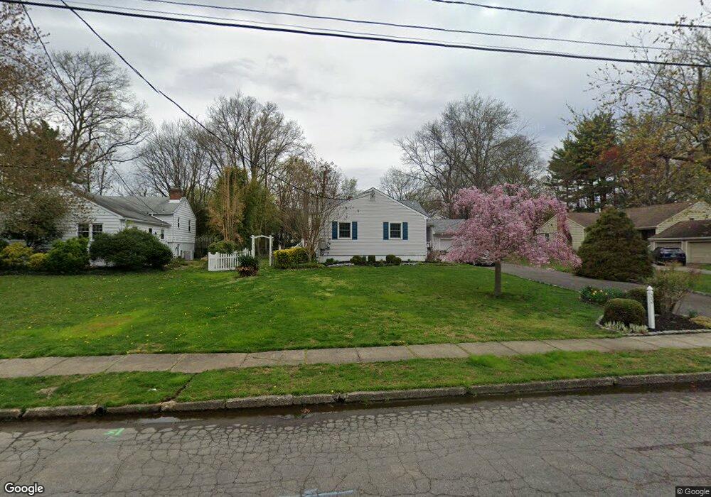
33 E Cooper Ave Moorestown, NJ 08057
Estimated Value: $661,000 - $762,000
Studio
--
Bath
2,388
Sq Ft
$298/Sq Ft
Est. Value
About This Home
This home is located at 33 E Cooper Ave, Moorestown, NJ 08057 and is currently estimated at $711,761, approximately $298 per square foot. 33 E Cooper Ave is a home located in Burlington County with nearby schools including Mary E. Roberts Elementary School, Moorestown Upper Elementary School, and William Allen Middle School.
Ownership History
Date
Name
Owned For
Owner Type
Purchase Details
Closed on
Dec 3, 2014
Sold by
Baldt Frederick H and Baldt Elizabeth E
Bought by
Baldt Frederick H and Baldt Elizabeth E
Current Estimated Value
Home Financials for this Owner
Home Financials are based on the most recent Mortgage that was taken out on this home.
Original Mortgage
$250,000
Interest Rate
3.1%
Mortgage Type
New Conventional
Create a Home Valuation Report for This Property
The Home Valuation Report is an in-depth analysis detailing your home's value as well as a comparison with similar homes in the area
Home Values in the Area
Average Home Value in this Area
Purchase History
| Date | Buyer | Sale Price | Title Company |
|---|---|---|---|
| Baldt Frederick H | -- | American Home Title Agency |
Source: Public Records
Mortgage History
| Date | Status | Borrower | Loan Amount |
|---|---|---|---|
| Closed | Baldt Frederick H | $250,000 |
Source: Public Records
Tax History
| Year | Tax Paid | Tax Assessment Tax Assessment Total Assessment is a certain percentage of the fair market value that is determined by local assessors to be the total taxable value of land and additions on the property. | Land | Improvement |
|---|---|---|---|---|
| 2025 | $11,104 | $391,400 | $190,000 | $201,400 |
| 2024 | $10,767 | $391,400 | $190,000 | $201,400 |
| 2023 | $10,767 | $391,400 | $190,000 | $201,400 |
| 2022 | $10,658 | $391,400 | $190,000 | $201,400 |
| 2021 | $9,888 | $368,000 | $0 | $0 |
| 2020 | $9,826 | $368,000 | $0 | $0 |
| 2019 | $9,653 | $391,400 | $190,000 | $201,400 |
| 2018 | $9,391 | $391,400 | $190,000 | $201,400 |
| 2017 | $9,472 | $391,400 | $190,000 | $201,400 |
| 2016 | $9,578 | $373,400 | $190,000 | $183,400 |
| 2015 | $9,462 | $373,400 | $190,000 | $183,400 |
| 2014 | $8,984 | $373,400 | $190,000 | $183,400 |
Source: Public Records
Map
Nearby Homes
- 8 S Close Unit 8
- 129 S Church St
- 10 E Close Unit 10EAST
- 104 Mount Laurel Rd
- 22 E Close Unit 22
- 15 W Close Unit 15
- 127 Schooley St
- 228 Mill St
- 217 Hooton Rd
- 66 E 3rd St
- 80 E 3rd St
- 111 Fellowship Rd
- 133 Plum St Unit 6
- 35 Sisters Farmstead Dr
- 308 Elm St
- 120 Canterbury Rd
- 206 Meadow Dr
- 444 Shady Ln
- 660 S Church St
- 205 E Central Ave
- 29 E Cooper Ave
- 37 E Cooper Ave
- 41 E Cooper Ave
- 28 Sutton Place N
- 24 Sutton Place N
- 25 E Cooper Ave
- 408 Toll House Ln
- 32 Sutton Place N
- 401 Parry Dr
- 405 Toll House Ln
- 45 E Cooper Ave
- 405 Parry Dr
- 400 Paul Dr
- 412 Toll House Ln
- 420 Paul Dr
- 409 Toll House Ln
- 409 Parry Dr
- 21 E Cooper Ave
- 19 Sutton Place N
- 15 E Sutton Ave
Your Personal Tour Guide
Ask me questions while you tour the home.