33 Fisher Way Somerset, MA 02726
Somerset Historic Village NeighborhoodEstimated Value: $295,000 - $371,766
2
Beds
1
Bath
816
Sq Ft
$402/Sq Ft
Est. Value
About This Home
This home is located at 33 Fisher Way, Somerset, MA 02726 and is currently estimated at $327,942, approximately $401 per square foot. 33 Fisher Way is a home located in Bristol County with nearby schools including North Elementary School and Somerset Middle School.
Ownership History
Date
Name
Owned For
Owner Type
Purchase Details
Closed on
Jul 2, 2018
Sold by
33 Fisher Way Rt and Miranda
Bought by
Miranda Bernard W and Miranda Mary L
Current Estimated Value
Purchase Details
Closed on
Aug 3, 2007
Sold by
Miranda Bernard
Bought by
33 Fisher Way Rt
Purchase Details
Closed on
Dec 31, 2003
Sold by
Stafford Milton
Bought by
Westport Land Dev Llc
Create a Home Valuation Report for This Property
The Home Valuation Report is an in-depth analysis detailing your home's value as well as a comparison with similar homes in the area
Home Values in the Area
Average Home Value in this Area
Purchase History
| Date | Buyer | Sale Price | Title Company |
|---|---|---|---|
| Miranda Bernard W | -- | -- | |
| Miranda Bernard W | -- | -- | |
| 33 Fisher Way Rt | -- | -- | |
| 33 Fisher Way Rt | -- | -- | |
| Westport Land Dev Llc | $110,000 | -- | |
| Westport Land Dev Llc | $110,000 | -- |
Source: Public Records
Mortgage History
| Date | Status | Borrower | Loan Amount |
|---|---|---|---|
| Previous Owner | Westport Land Dev Llc | $100,000 | |
| Previous Owner | Westport Land Dev Llc | $25,000 |
Source: Public Records
Tax History Compared to Growth
Tax History
| Year | Tax Paid | Tax Assessment Tax Assessment Total Assessment is a certain percentage of the fair market value that is determined by local assessors to be the total taxable value of land and additions on the property. | Land | Improvement |
|---|---|---|---|---|
| 2025 | $3,986 | $299,700 | $179,600 | $120,100 |
| 2024 | $3,755 | $293,600 | $179,600 | $114,000 |
| 2023 | $3,294 | $259,800 | $156,000 | $103,800 |
| 2022 | $3,025 | $227,600 | $134,600 | $93,000 |
| 2021 | $3,042 | $207,200 | $121,600 | $85,600 |
| 2020 | $3,035 | $199,400 | $121,700 | $77,700 |
| 2019 | $3,497 | $191,600 | $121,700 | $69,900 |
| 2018 | $3,094 | $182,400 | $117,200 | $65,200 |
| 2017 | $3,022 | $173,700 | $111,800 | $61,900 |
| 2016 | $3,041 | $173,700 | $111,800 | $61,900 |
| 2015 | $2,842 | $163,800 | $106,700 | $57,100 |
| 2014 | $3,920 | $162,300 | $103,700 | $58,600 |
Source: Public Records
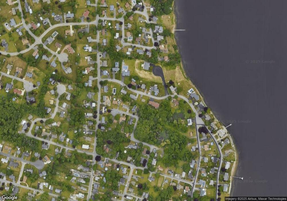
Map
Nearby Homes
- 0 Palmer St
- 22 Riverside Dr
- 3076 County St
- 259 Lynch Ave
- 107 Manchester Ave
- 5455 N Main St Unit 14B
- 5455 N Main St Unit 12A
- 5455 N Main St Unit 18A
- 112 Rounseville Ave
- 190 Gibbs St
- 435 Fairway Dr
- 53 Riley Ave
- 602 Regan Rd
- 95 Samson Ave
- 345 Chace St
- 122 Robin Ln
- 4234 N Main St Unit 103
- 2798 Elm St
- 65 Marvel St
- 95 Brookside Rd