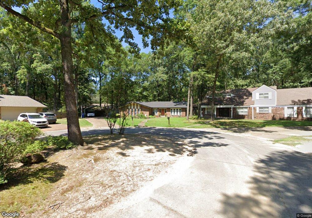
33 Forrest Ct Conway, AR 72034
Downtown Conway NeighborhoodEstimated Value: $282,072 - $316,000
--
Bed
2
Baths
2,400
Sq Ft
$123/Sq Ft
Est. Value
About This Home
This home is located at 33 Forrest Ct, Conway, AR 72034 and is currently estimated at $295,268, approximately $123 per square foot. 33 Forrest Ct is a home located in Faulkner County with nearby schools including Julia Lee Moore Elementary School, Conway Junior High School, and Conway High School.
Ownership History
Date
Name
Owned For
Owner Type
Purchase Details
Closed on
Jul 27, 2017
Sold by
Allen Chris N and Allen Ann L
Bought by
Pollock Mary
Current Estimated Value
Home Financials for this Owner
Home Financials are based on the most recent Mortgage that was taken out on this home.
Original Mortgage
$137,362
Outstanding Balance
$113,682
Interest Rate
3.75%
Mortgage Type
FHA
Estimated Equity
$181,586
Purchase Details
Closed on
Jul 26, 1999
Bought by
Allen
Purchase Details
Closed on
Dec 22, 1997
Bought by
Susan Trust
Create a Home Valuation Report for This Property
The Home Valuation Report is an in-depth analysis detailing your home's value as well as a comparison with similar homes in the area
Home Values in the Area
Average Home Value in this Area
Purchase History
| Date | Buyer | Sale Price | Title Company |
|---|---|---|---|
| Pollock Mary | $175,000 | Realty Title | |
| Allen | $113,000 | -- | |
| Susan Trust | -- | -- | |
| Charles Trust | -- | -- |
Source: Public Records
Mortgage History
| Date | Status | Borrower | Loan Amount |
|---|---|---|---|
| Open | Pollock Mary | $137,362 |
Source: Public Records
Tax History Compared to Growth
Tax History
| Year | Tax Paid | Tax Assessment Tax Assessment Total Assessment is a certain percentage of the fair market value that is determined by local assessors to be the total taxable value of land and additions on the property. | Land | Improvement |
|---|---|---|---|---|
| 2025 | $1,866 | $51,590 | $3,600 | $47,990 |
| 2024 | $1,781 | $51,590 | $3,600 | $47,990 |
| 2023 | $1,696 | $40,460 | $3,600 | $36,860 |
| 2022 | $1,247 | $40,460 | $3,600 | $36,860 |
| 2021 | $1,173 | $40,460 | $3,600 | $36,860 |
| 2020 | $1,099 | $29,140 | $3,600 | $25,540 |
| 2019 | $1,099 | $29,140 | $3,600 | $25,540 |
| 2018 | $1,124 | $29,140 | $3,600 | $25,540 |
| 2017 | $1,124 | $29,140 | $3,600 | $25,540 |
| 2016 | $1,124 | $29,140 | $3,600 | $25,540 |
| 2015 | $1,416 | $27,980 | $3,600 | $24,380 |
| 2014 | $1,066 | $27,980 | $3,600 | $24,380 |
Source: Public Records
Map
Nearby Homes
- 8 Smoking Oaks Rd
- 1240 Salem Rd
- 2850 Carmichael Dr
- 1205 Salem Rd
- 1145 Salem Rd
- 11 Red Oak Dr
- 1715 Royal Dr
- 1810 Royal Dr
- 26 Covewood Dr
- 10 W Post Oak Dr
- 3115 Baxter Dr
- 3115 Tyler St
- 1840 Drury Ln
- 9 Fair Oaks Dr
- 2860 Broadmoor Dr
- 15 Brier Springs Dr
- 15 Brierwood Cir
- 50 White Oak Dr
- 27 Brierwood Cir
- 1308 Hillcrest Dr