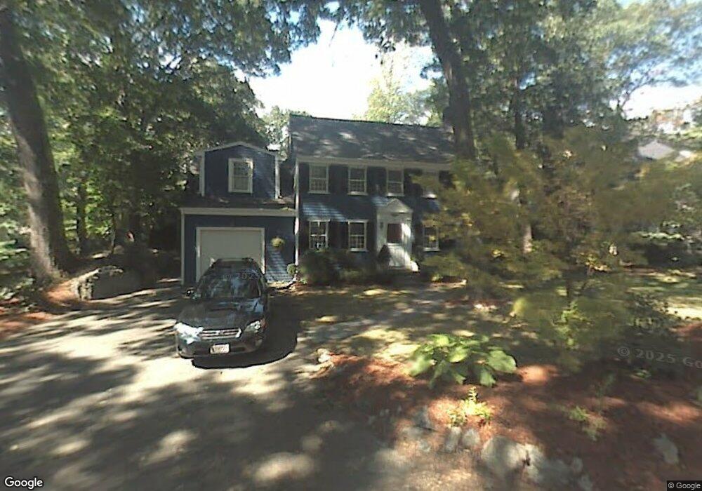
33 Gaskins Rd Milton, MA 02186
Columbine Cliffs NeighborhoodEstimated Value: $1,122,000 - $1,429,000
3
Beds
3
Baths
2,233
Sq Ft
$565/Sq Ft
Est. Value
About This Home
This home is located at 33 Gaskins Rd, Milton, MA 02186 and is currently estimated at $1,260,657, approximately $564 per square foot. 33 Gaskins Rd is a home located in Norfolk County with nearby schools including Milton High School, Conservatory Lab Upper School, and Saint John Paul II Catholic Academy.
Ownership History
Date
Name
Owned For
Owner Type
Purchase Details
Closed on
Apr 4, 2008
Sold by
Morrell Ft and Morrill Jeffrey R
Bought by
Resnick Heather and Resnick William
Current Estimated Value
Purchase Details
Closed on
Sep 4, 2003
Sold by
George Daniel J and George Dann P
Bought by
Morrill Ft and Morril Jeffrey R
Purchase Details
Closed on
Jul 7, 1998
Sold by
Schwartz Robert F
Bought by
George Daniel J and George Dann P
Purchase Details
Closed on
Sep 12, 1995
Sold by
Adelizzi Eugene and Adelizzi Jane L
Bought by
Schwartz Robert F
Purchase Details
Closed on
Jul 24, 1987
Sold by
Limauro Mary N
Bought by
Adelizzi Eugene G
Create a Home Valuation Report for This Property
The Home Valuation Report is an in-depth analysis detailing your home's value as well as a comparison with similar homes in the area
Home Values in the Area
Average Home Value in this Area
Purchase History
| Date | Buyer | Sale Price | Title Company |
|---|---|---|---|
| Resnick Heather | $595,000 | -- | |
| Morrill Ft | $543,000 | -- | |
| George Daniel J | $328,000 | -- | |
| Schwartz Robert F | $252,000 | -- | |
| Adelizzi Eugene G | $61,250 | -- |
Source: Public Records
Mortgage History
| Date | Status | Borrower | Loan Amount |
|---|---|---|---|
| Open | Adelizzi Eugene G | $480,000 | |
| Closed | Adelizzi Eugene G | $25,000 |
Source: Public Records
Tax History Compared to Growth
Tax History
| Year | Tax Paid | Tax Assessment Tax Assessment Total Assessment is a certain percentage of the fair market value that is determined by local assessors to be the total taxable value of land and additions on the property. | Land | Improvement |
|---|---|---|---|---|
| 2025 | $11,708 | $1,055,700 | $514,500 | $541,200 |
| 2024 | $11,261 | $1,031,200 | $490,000 | $541,200 |
| 2023 | $10,760 | $943,900 | $466,700 | $477,200 |
| 2022 | $10,447 | $837,800 | $466,700 | $371,100 |
| 2021 | $10,056 | $765,900 | $412,300 | $353,600 |
| 2020 | $9,877 | $752,800 | $404,500 | $348,300 |
| 2019 | $9,633 | $730,900 | $392,700 | $338,200 |
| 2018 | $9,838 | $712,400 | $382,000 | $330,400 |
| 2017 | $9,209 | $679,100 | $363,800 | $315,300 |
| 2016 | $9,086 | $673,000 | $363,800 | $309,200 |
| 2015 | $8,063 | $578,400 | $293,900 | $284,500 |
Source: Public Records
Map
Nearby Homes
- 15 Cantwell Rd
- 4 School St
- 333 Eliot St
- 131 Eliot St Unit 312
- 131 Eliot St Unit 408
- 131 Eliot St Unit 305
- 20 Herrick Dr
- 32 Columbine Rd
- 290 Central Ave
- 8-14R Temple St
- 67 Idaho St
- 32-32R Temple St
- 10 Briarcliff Terrace
- 21A High St Unit 2
- 1245 Adams St Unit B406
- 1245 Adams St Unit B210
- 390 Central Ave
- 24 Constitution Rd
- 15 Fairfax Rd
- 23 Maryknoll St