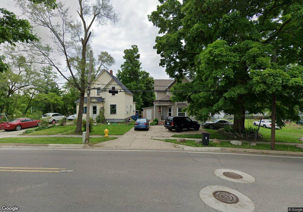
33 Goguac St E Battle Creek, MI 49015
Central Battle Creek NeighborhoodEstimated Value: $100,000 - $126,000
4
Beds
2
Baths
1,460
Sq Ft
$78/Sq Ft
Est. Value
About This Home
This home is located at 33 Goguac St E, Battle Creek, MI 49015 and is currently estimated at $114,075, approximately $78 per square foot. 33 Goguac St E is a home located in Calhoun County with nearby schools including Ann J. Kellogg School, Springfield Middle School, and Battle Creek Central High School.
Ownership History
Date
Name
Owned For
Owner Type
Purchase Details
Closed on
Nov 14, 2012
Sold by
Pearce Eric
Bought by
Romero Jorge
Current Estimated Value
Purchase Details
Closed on
Mar 16, 2005
Sold by
Hutchins Benjamin and Hutchins Jimmie Jean Holder
Bought by
Pearce Eric
Home Financials for this Owner
Home Financials are based on the most recent Mortgage that was taken out on this home.
Original Mortgage
$20,008
Interest Rate
8%
Mortgage Type
Purchase Money Mortgage
Purchase Details
Closed on
Aug 8, 1995
Bought by
Hutchins
Create a Home Valuation Report for This Property
The Home Valuation Report is an in-depth analysis detailing your home's value as well as a comparison with similar homes in the area
Home Values in the Area
Average Home Value in this Area
Purchase History
| Date | Buyer | Sale Price | Title Company |
|---|---|---|---|
| Romero Jorge | $6,000 | None Available | |
| Pearce Eric | $34,000 | Chicago Title Insurance Co | |
| Hutchins | -- | -- |
Source: Public Records
Mortgage History
| Date | Status | Borrower | Loan Amount |
|---|---|---|---|
| Previous Owner | Pearce Eric | $20,008 |
Source: Public Records
Tax History Compared to Growth
Tax History
| Year | Tax Paid | Tax Assessment Tax Assessment Total Assessment is a certain percentage of the fair market value that is determined by local assessors to be the total taxable value of land and additions on the property. | Land | Improvement |
|---|---|---|---|---|
| 2025 | -- | $37,100 | $0 | $0 |
| 2024 | $681 | $38,428 | $0 | $0 |
| 2023 | $1,892 | $38,255 | $0 | $0 |
| 2022 | $861 | $30,759 | $0 | $0 |
| 2021 | $857 | $22,509 | $0 | $0 |
| 2020 | $848 | $17,754 | $0 | $0 |
| 2019 | $813 | $15,375 | $0 | $0 |
| 2018 | $813 | $14,522 | $738 | $13,784 |
| 2017 | $821 | $16,551 | $0 | $0 |
| 2016 | $819 | $14,827 | $0 | $0 |
| 2015 | $1,021 | $15,718 | $4,094 | $11,624 |
| 2014 | $1,021 | $18,505 | $4,094 | $14,411 |
Source: Public Records
Map
Nearby Homes
- 66 Cleveland St
- 17 Tennyson Ave
- 96 Battle Creek Ave
- 57 Boulder St
- 21 Spring St
- 171 Goguac St W
- 71 Burnham St W
- 35 Eldred St
- 210 Battle Creek Ave
- 212 Goguac St W
- 296 Meachem Ave
- 111 Burnham St W
- 30 Harris St
- 178 Webber St
- 41 Randolph St
- 1 Grand Blvd
- 180 Upton Ave
- 39 Harris St
- 100 Eldred St
- 0 Riverside Pkwy Unit 25036355