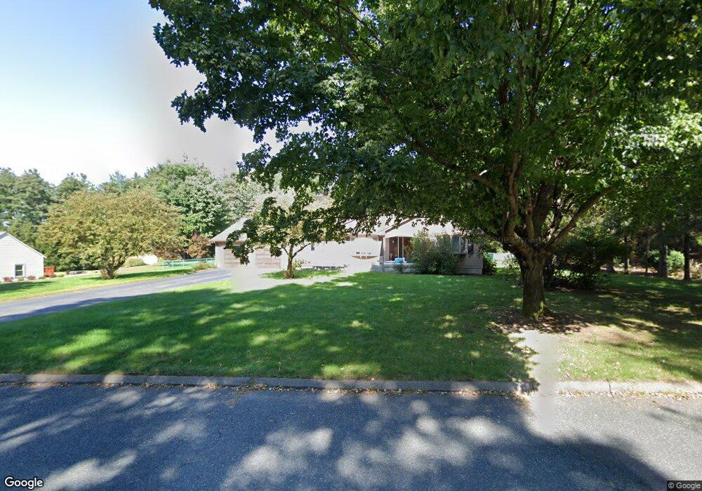
33 Green Tree Ln Somers, CT 06071
Estimated Value: $443,000 - $526,000
3
Beds
2
Baths
1,797
Sq Ft
$265/Sq Ft
Est. Value
About This Home
This home is located at 33 Green Tree Ln, Somers, CT 06071 and is currently estimated at $475,909, approximately $264 per square foot. 33 Green Tree Ln is a home located in Tolland County with nearby schools including Somers Elementary School, Mabelle B. Avery Middle School, and Somers High School.
Ownership History
Date
Name
Owned For
Owner Type
Purchase Details
Closed on
Sep 19, 2011
Sold by
Duncan Joyce P
Bought by
Waters Joseph and Waters Beth
Current Estimated Value
Home Financials for this Owner
Home Financials are based on the most recent Mortgage that was taken out on this home.
Original Mortgage
$282,648
Outstanding Balance
$195,760
Interest Rate
4.5%
Mortgage Type
FHA
Estimated Equity
$280,149
Create a Home Valuation Report for This Property
The Home Valuation Report is an in-depth analysis detailing your home's value as well as a comparison with similar homes in the area
Home Values in the Area
Average Home Value in this Area
Purchase History
| Date | Buyer | Sale Price | Title Company |
|---|---|---|---|
| Waters Joseph | $290,000 | -- | |
| Waters Joseph | $290,000 | -- |
Source: Public Records
Mortgage History
| Date | Status | Borrower | Loan Amount |
|---|---|---|---|
| Open | Waters Joseph | $282,648 | |
| Closed | Waters Joseph | $282,648 | |
| Previous Owner | Waters Joseph | $200,000 | |
| Previous Owner | Waters Joseph | $127,500 |
Source: Public Records
Tax History Compared to Growth
Tax History
| Year | Tax Paid | Tax Assessment Tax Assessment Total Assessment is a certain percentage of the fair market value that is determined by local assessors to be the total taxable value of land and additions on the property. | Land | Improvement |
|---|---|---|---|---|
| 2025 | $5,550 | $183,700 | $69,200 | $114,500 |
| 2024 | $5,320 | $183,700 | $69,200 | $114,500 |
| 2023 | $5,201 | $183,700 | $69,200 | $114,500 |
| 2022 | $5,010 | $181,800 | $69,200 | $112,600 |
| 2021 | $4,716 | $181,800 | $69,200 | $112,600 |
| 2020 | $4,927 | $180,000 | $69,200 | $110,800 |
| 2019 | $4,738 | $173,100 | $75,100 | $98,000 |
| 2018 | $4,586 | $173,100 | $75,100 | $98,000 |
| 2017 | $4,549 | $173,100 | $75,100 | $98,000 |
| 2016 | $4,192 | $173,100 | $75,100 | $98,000 |
| 2015 | $4,496 | $192,400 | $82,200 | $110,200 |
| 2014 | $4,496 | $192,400 | $82,200 | $110,200 |
Source: Public Records
Map
Nearby Homes
- 369 Turnpike Rd
- 63 Rose Haven Rd
- 64 Bradfield Dr
- 121 Florida Rd
- 190 Root Rd
- 17 Long Hill Dr
- 49 Franklin Woods Dr
- 142 Turnpike Rd
- 12 & 16 Haas Rd
- 100 Battle St
- 63 Maple Ridge Dr
- 794 Main St
- 200 Hampden Rd
- 175 Stafford Rd
- 69 Colton Rd
- 169 Stafford Rd
- 969 Main St
- 491 Main St
- 144 Watchaug Rd
- 58 Rocky Dundee Rd
- 25 Green Tree Ln
- 28 Green Tree Ln
- 34 Green Tree Ln
- 22 Green Tree Ln
- 17 Green Tree Ln
- 7 Cedar Hill Terrace
- 16 Green Tree Ln
- 40 Green Tree Ln
- 25 Cedar Hill Terrace
- 17 Cedar Hill Terrace
- 14 Cedar Hill Terrace
- 20 Cedar Hill Terrace
- 6 Somerset Ln
- 10 Green Tree Ln
- 55 Green Tree Ln
- 352 Turnpike Rd
- 46 Green Tree Ln
- 358 Turnpike Rd
- 362 Turnpike Rd
- 4 Somerset Ln