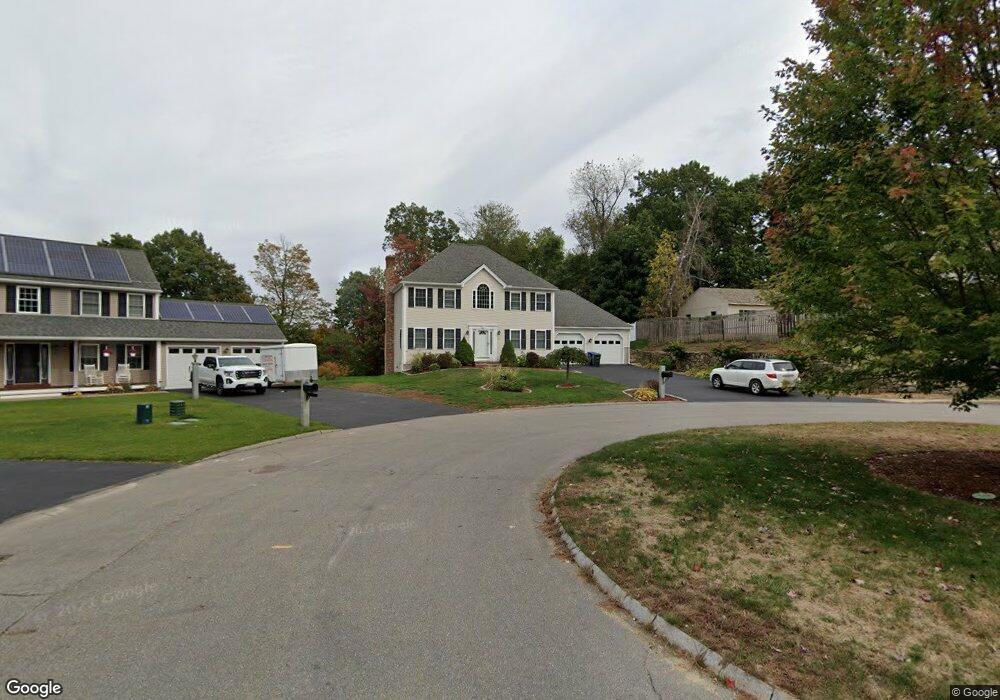
33 Harbor Light Rd Leominster, MA 01453
Estimated Value: $654,000 - $691,000
3
Beds
4
Baths
1,934
Sq Ft
$344/Sq Ft
Est. Value
About This Home
This home is located at 33 Harbor Light Rd, Leominster, MA 01453 and is currently estimated at $665,147, approximately $343 per square foot. 33 Harbor Light Rd is a home located in Worcester County with nearby schools including Leominster High School, St. Anna Catholic School, and St. Leo School.
Ownership History
Date
Name
Owned For
Owner Type
Purchase Details
Closed on
Jun 9, 2005
Sold by
Harbor Light Rt and Lucier Roger
Bought by
Shum Janis Y
Current Estimated Value
Home Financials for this Owner
Home Financials are based on the most recent Mortgage that was taken out on this home.
Original Mortgage
$215,000
Outstanding Balance
$112,460
Interest Rate
5.79%
Mortgage Type
Purchase Money Mortgage
Estimated Equity
$552,687
Create a Home Valuation Report for This Property
The Home Valuation Report is an in-depth analysis detailing your home's value as well as a comparison with similar homes in the area
Home Values in the Area
Average Home Value in this Area
Purchase History
| Date | Buyer | Sale Price | Title Company |
|---|---|---|---|
| Shum Janis Y | $384,700 | -- |
Source: Public Records
Mortgage History
| Date | Status | Borrower | Loan Amount |
|---|---|---|---|
| Open | Shum Janis Y | $215,000 |
Source: Public Records
Tax History Compared to Growth
Tax History
| Year | Tax Paid | Tax Assessment Tax Assessment Total Assessment is a certain percentage of the fair market value that is determined by local assessors to be the total taxable value of land and additions on the property. | Land | Improvement |
|---|---|---|---|---|
| 2025 | $7,816 | $557,100 | $141,800 | $415,300 |
| 2024 | $7,782 | $536,300 | $135,000 | $401,300 |
| 2023 | $7,434 | $478,400 | $117,400 | $361,000 |
| 2022 | $7,159 | $432,300 | $102,100 | $330,200 |
| 2021 | $6,980 | $385,000 | $79,500 | $305,500 |
| 2020 | $6,739 | $374,800 | $79,500 | $295,300 |
| 2019 | $6,591 | $355,500 | $75,700 | $279,800 |
| 2018 | $6,715 | $347,400 | $73,500 | $273,900 |
| 2017 | $6,558 | $332,400 | $68,600 | $263,800 |
| 2016 | $6,550 | $334,500 | $68,600 | $265,900 |
| 2015 | $5,974 | $307,300 | $68,600 | $238,700 |
| 2014 | $5,788 | $306,400 | $73,500 | $232,900 |
Source: Public Records
Map
Nearby Homes
- 29 Wedgewood Ln
- 675 Willard St
- 23 Lantern Ln
- 1237 Central St Unit 15
- 2 Keeneland Cir
- 315 Grant St
- 39 Legate Hill Rd
- 50 Indian Ridge Dr
- 12 Walden Ct
- 12 Drummer Ln
- 97 Berrington Rd Unit 97
- 197 Chapman Place Unit 197
- 93 Chapman Place Unit 93
- 177 Chapman Place
- 740 Central St Unit L22
- 213 Bayberry Hill Ln
- 64 Sycamore Dr
- 30 Abbey Rd Unit 207
- 10 Abbey Rd Unit 108
- 30 Abbey Rd Unit 202
- 39 Harbor Light Rd
- 24 Tory Cir
- 43 Harbor Light Rd
- 615 Willard St
- 603 Willard St
- 44 Harbor Light Rd
- 34 Harbor Light Rd
- 24 Harbor Light Rd
- 609 Willard St
- 30 Tory Cir
- 18 Tory Cir
- 14 Harbor Light Rd Unit 1
- 12 Tory Cir
- 591 Willard St
- 4 Harbor Light Rd
- 29 Tory Cir
- 629 Willard St
- 585 Willard St
- 23 Tory Cir
- 17 Tory Cir