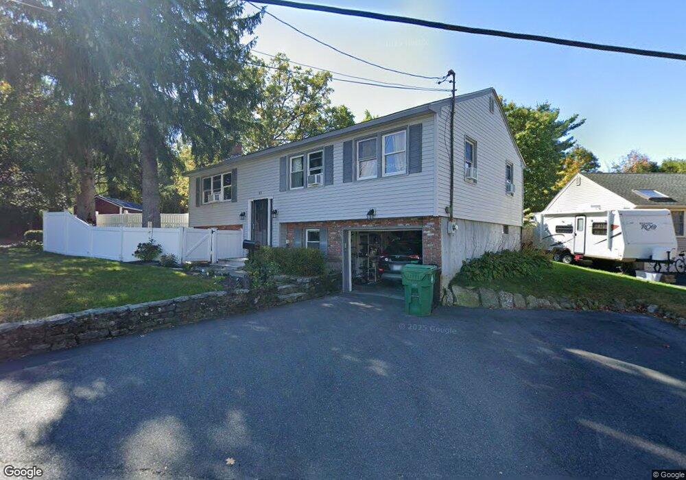
33 Harris St Clinton, MA 01510
Estimated Value: $427,891 - $585,000
3
Beds
1
Bath
1,134
Sq Ft
$453/Sq Ft
Est. Value
About This Home
This home is located at 33 Harris St, Clinton, MA 01510 and is currently estimated at $513,223, approximately $452 per square foot. 33 Harris St is a home located in Worcester County with nearby schools including Clinton Elementary School, Clinton Senior High School, and Clinton Middle School.
Ownership History
Date
Name
Owned For
Owner Type
Purchase Details
Closed on
Apr 5, 2022
Sold by
Young Cynthia J
Bought by
Moytl-Szary Baguskas-Moytil-Szary S and Moytl-Szary Adam
Current Estimated Value
Purchase Details
Closed on
Nov 22, 1994
Sold by
Dennihan Janice and Ducharme Linda
Bought by
Baguskas Cynthia
Home Financials for this Owner
Home Financials are based on the most recent Mortgage that was taken out on this home.
Original Mortgage
$112,900
Interest Rate
8.9%
Mortgage Type
Purchase Money Mortgage
Purchase Details
Closed on
May 30, 1990
Sold by
Rymsza Edmund H
Bought by
Dennihan Janice M
Home Financials for this Owner
Home Financials are based on the most recent Mortgage that was taken out on this home.
Original Mortgage
$118,700
Interest Rate
10.25%
Mortgage Type
Purchase Money Mortgage
Create a Home Valuation Report for This Property
The Home Valuation Report is an in-depth analysis detailing your home's value as well as a comparison with similar homes in the area
Home Values in the Area
Average Home Value in this Area
Purchase History
| Date | Buyer | Sale Price | Title Company |
|---|---|---|---|
| Moytl-Szary Baguskas-Moytil-Szary S | -- | None Available | |
| Baguskas Cynthia | $132,900 | -- | |
| Dennihan Janice M | $131,900 | -- |
Source: Public Records
Mortgage History
| Date | Status | Borrower | Loan Amount |
|---|---|---|---|
| Previous Owner | Dennihan Janice M | $112,900 | |
| Previous Owner | Dennihan Janice M | $118,700 |
Source: Public Records
Tax History
| Year | Tax Paid | Tax Assessment Tax Assessment Total Assessment is a certain percentage of the fair market value that is determined by local assessors to be the total taxable value of land and additions on the property. | Land | Improvement |
|---|---|---|---|---|
| 2025 | $5,373 | $404,000 | $112,200 | $291,800 |
| 2024 | $4,922 | $374,600 | $112,200 | $262,400 |
| 2023 | $4,515 | $337,700 | $102,100 | $235,600 |
| 2022 | $4,574 | $306,800 | $92,800 | $214,000 |
| 2021 | $4,291 | $269,200 | $88,400 | $180,800 |
| 2020 | $4,035 | $260,500 | $88,400 | $172,100 |
| 2019 | $4,108 | $257,900 | $85,800 | $172,100 |
| 2018 | $4,036 | $237,700 | $85,800 | $151,900 |
| 2017 | $3,979 | $225,200 | $85,800 | $139,400 |
| 2016 | $3,965 | $229,600 | $85,800 | $143,800 |
| 2015 | $3,514 | $210,900 | $83,300 | $127,600 |
| 2014 | $3,350 | $207,400 | $83,300 | $124,100 |
Source: Public Records
Map
Nearby Homes
- 18 Sargent Rd
- 212 Chace St
- 6 Mcnulty Rd
- 155 Cedar St
- 110 Ridgefield Cir Unit C
- 23 Coyne St
- 101 Woodruff Rd
- 610 Ridgefield Cir Unit B
- 11 Lindbergh Street Rear
- 920 Ridgefield Cir Unit C
- 46 Woodruff Rd
- 12 Woodruff Rd
- 115117 Mechanic St Unit 4
- 115117 Mechanic St Unit 3
- 25 Pearl St
- 109 Oak St
- 2 Eagle Nest Unit B6-2
- 66 Oak St Unit 66
- 508 High St
- 40 Nashua St Unit 3
- 29 Harris St
- 310 Chace St Unit 3
- 310 Chace St Unit 6
- 310 Chace St Unit 14
- 310 Chace St Unit 11
- 310 Chace St Unit 8
- 310 Chace St Unit 5
- 310 Chace St
- 310 Chace St Unit 2
- 22 Harris St
- 19 Hugh St
- 17 Hugh St
- 26 Harris St
- 20 Harris St
- 311 Chace St
- 307 Chace St
- 311 1/2 Chace St
- 300 Chace St
- 15 Hugh St
- 304 Chace St
Your Personal Tour Guide
Ask me questions while you tour the home.