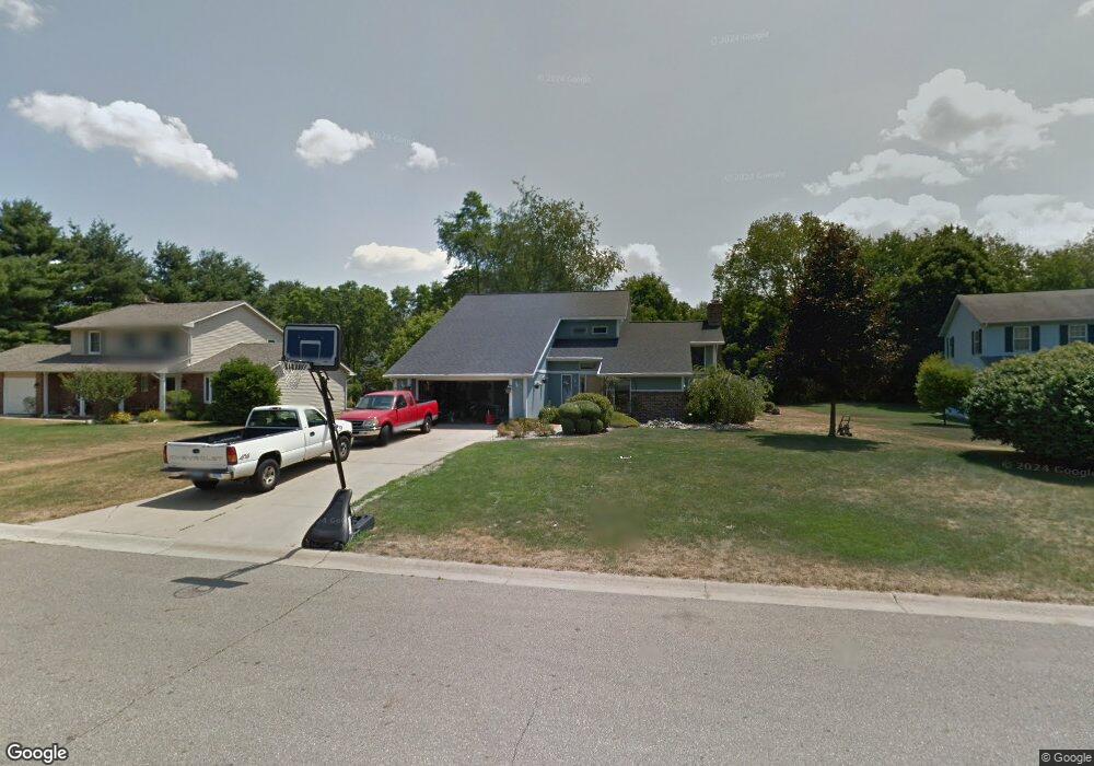
33 Harvest Ln Battle Creek, MI 49015
Minges Brook Riverside NeighborhoodEstimated Value: $286,453 - $335,000
4
Beds
3
Baths
2,276
Sq Ft
$137/Sq Ft
Est. Value
About This Home
This home is located at 33 Harvest Ln, Battle Creek, MI 49015 and is currently estimated at $311,363, approximately $136 per square foot. 33 Harvest Ln is a home located in Calhoun County with nearby schools including Lakeview Middle School, Lakeview High School, and Arbor Academy.
Ownership History
Date
Name
Owned For
Owner Type
Purchase Details
Closed on
Oct 30, 2020
Sold by
Marshall Community Credit Union
Bought by
Bagwell Kenneth J
Current Estimated Value
Home Financials for this Owner
Home Financials are based on the most recent Mortgage that was taken out on this home.
Original Mortgage
$156,800
Outstanding Balance
$139,780
Interest Rate
2.9%
Mortgage Type
New Conventional
Estimated Equity
$171,583
Purchase Details
Closed on
Feb 27, 2020
Sold by
Reigner Charles V and Reigner Selma K
Bought by
Marshall Community Credit Union
Purchase Details
Closed on
Sep 25, 2002
Sold by
Sahli Jon R and Sahli Nancy
Bought by
Reigner Charles and Reigner Selma K
Create a Home Valuation Report for This Property
The Home Valuation Report is an in-depth analysis detailing your home's value as well as a comparison with similar homes in the area
Home Values in the Area
Average Home Value in this Area
Purchase History
| Date | Buyer | Sale Price | Title Company |
|---|---|---|---|
| Bagwell Kenneth J | $196,000 | None Available | |
| Marshall Community Credit Union | $178,490 | None Available | |
| Reigner Charles | $195,000 | -- |
Source: Public Records
Mortgage History
| Date | Status | Borrower | Loan Amount |
|---|---|---|---|
| Open | Bagwell Kenneth J | $156,800 |
Source: Public Records
Tax History Compared to Growth
Tax History
| Year | Tax Paid | Tax Assessment Tax Assessment Total Assessment is a certain percentage of the fair market value that is determined by local assessors to be the total taxable value of land and additions on the property. | Land | Improvement |
|---|---|---|---|---|
| 2025 | -- | $117,000 | $0 | $0 |
| 2024 | $4,007 | $113,089 | $0 | $0 |
| 2023 | $4,672 | $100,979 | $0 | $0 |
| 2022 | $3,694 | $98,171 | $0 | $0 |
| 2021 | $4,606 | $96,507 | $0 | $0 |
| 2020 | $4,153 | $91,066 | $0 | $0 |
| 2019 | $4,153 | $85,108 | $0 | $0 |
| 2018 | $4,153 | $88,281 | $7,719 | $80,562 |
| 2017 | $4,092 | $85,620 | $0 | $0 |
| 2016 | $4,069 | $87,599 | $0 | $0 |
| 2015 | $4,338 | $85,993 | $5,404 | $80,589 |
| 2014 | $4,338 | $96,981 | $5,404 | $91,577 |
Source: Public Records
Map
Nearby Homes
- 117 Pheasant Run
- 4281 Watkins Rd
- 4275 Watkins Rd
- 220 Deer Path Ln
- 244 Deer Path Ln
- 168 Pheasant Run
- 292 W Hamilton Ln
- 219 W Hamilton Ln
- 25 Minges Rd W
- 15 Timothy Ln
- 66 Wealthy
- 29 Langley Rd E
- 33 Langley Rd E
- 4293 Beckley Rd
- 148 Wahwahtaysee Way
- 746 Country Club Dr
- 211 Beckwith Dr
- 215 Beckwith Dr
- 12800 Minges Rd S
- 15 Birch Hill Dr
- 35 Harvest Ln
- 31 Harvest Ln
- 114 Pheasant Run
- 29 Harvest Ln
- 18 Harvest Ln
- 16 Harvest Ln
- 112 Pheasant Run
- 168 Minges Rd S
- 20 Harvest Ln
- 116 Pheasant Run
- 172 Minges Rd S
- 22 Harvest Ln
- 110 Pheasant Run
- 176 Minges Rd S
- 115 Pheasant Run
- 118 Pheasant Run
- 113 Pheasant Run
- 119 Pheasant Run
- 180 Minges Rd S
- 111 Pheasant Run