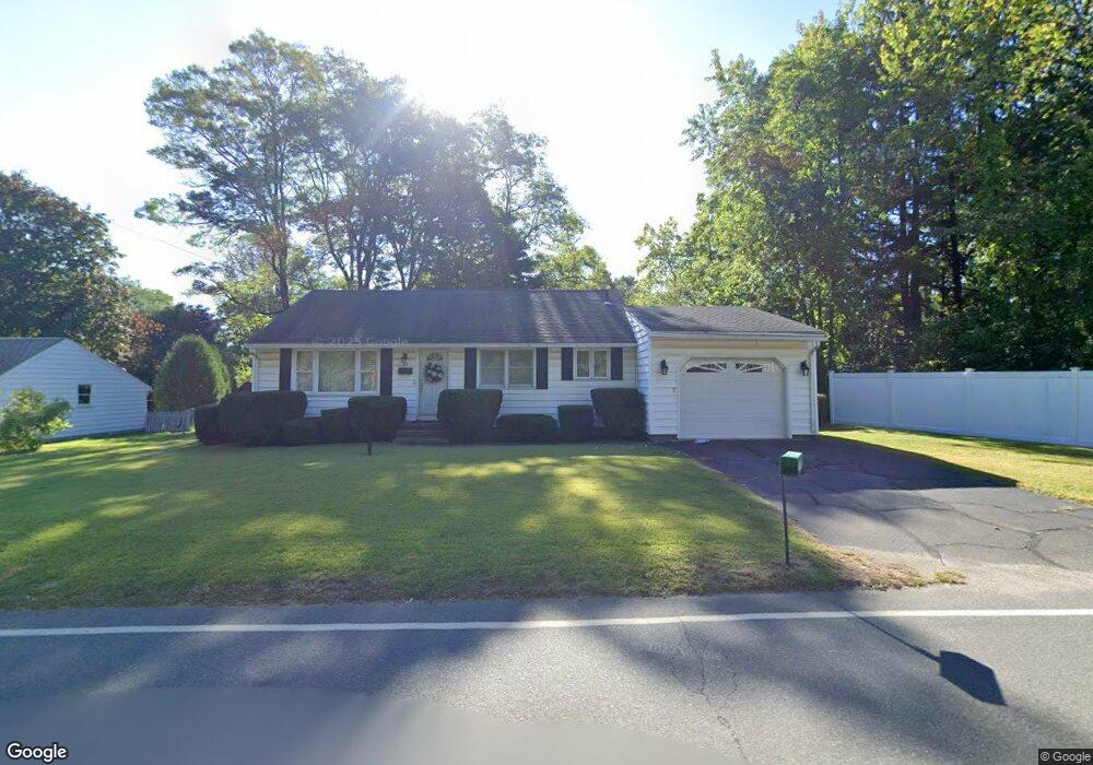
33 Hatfield St Northampton, MA 01060
Estimated Value: $431,424 - $503,000
2
Beds
1
Bath
1,282
Sq Ft
$364/Sq Ft
Est. Value
About This Home
This home is located at 33 Hatfield St, Northampton, MA 01060 and is currently estimated at $466,856, approximately $364 per square foot. 33 Hatfield St is a home located in Hampshire County with nearby schools including Northampton High School, The Montessori School of Northampton, and Lander Grinspoon Academy.
Create a Home Valuation Report for This Property
The Home Valuation Report is an in-depth analysis detailing your home's value as well as a comparison with similar homes in the area
Home Values in the Area
Average Home Value in this Area
Tax History Compared to Growth
Tax History
| Year | Tax Paid | Tax Assessment Tax Assessment Total Assessment is a certain percentage of the fair market value that is determined by local assessors to be the total taxable value of land and additions on the property. | Land | Improvement |
|---|---|---|---|---|
| 2025 | $5,426 | $389,500 | $121,600 | $267,900 |
| 2024 | $5,493 | $361,600 | $121,600 | $240,000 |
| 2023 | $5,449 | $344,000 | $110,600 | $233,400 |
| 2022 | $4,829 | $269,900 | $110,600 | $159,300 |
| 2021 | $4,280 | $246,400 | $105,600 | $140,800 |
| 2020 | $4,140 | $246,400 | $105,600 | $140,800 |
| 2019 | $4,141 | $238,400 | $105,600 | $132,800 |
| 2018 | $4,146 | $243,300 | $105,600 | $137,700 |
| 2017 | $4,061 | $243,300 | $105,600 | $137,700 |
| 2016 | $3,932 | $243,300 | $105,600 | $137,700 |
| 2015 | $3,675 | $232,600 | $105,600 | $127,000 |
| 2014 | $3,580 | $232,600 | $105,600 | $127,000 |
Source: Public Records
Map
Nearby Homes
- 0 Terrace Ln
- 152 S Main St Unit 4
- 63 Riverside Dr
- 61 Woodlawn Ave
- 76 Cooke Ave
- 74 Barrett St Unit 105
- 14 Arlington St
- 11 Norwood Ave
- 37 Landy Ave
- 76 Maple St
- 153 Round Hill Rd
- 67 Park St Unit A
- 67 Park St Unit B
- 67 Park St Unit D
- 218 Elm St
- 225 Nonotuck St Unit C
- 325 Riverside Dr
- 321 Riverside Dr
- 49 Kensington Ave
- 84 N Main St