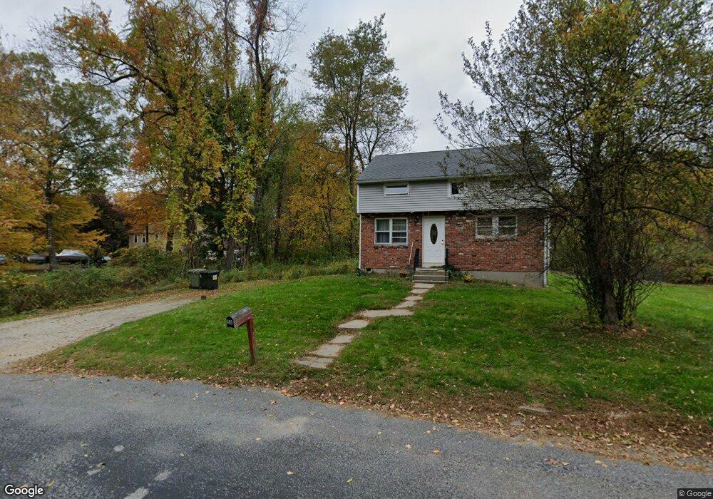
33 Hudson Rd Oxford, MA 01540
Estimated Value: $351,000 - $448,000
4
Beds
1
Bath
858
Sq Ft
$457/Sq Ft
Est. Value
About This Home
This home is located at 33 Hudson Rd, Oxford, MA 01540 and is currently estimated at $391,970, approximately $456 per square foot. 33 Hudson Rd is a home located in Worcester County with nearby schools including Oxford High School, Alfred M Chaffee, and Clara Barton Elementary School.
Ownership History
Date
Name
Owned For
Owner Type
Purchase Details
Closed on
Dec 24, 1992
Sold by
Nuttall Richard F and Nuttall Sandra
Bought by
Gallivan Walter P and Gallivan Susan
Current Estimated Value
Home Financials for this Owner
Home Financials are based on the most recent Mortgage that was taken out on this home.
Original Mortgage
$107,000
Interest Rate
8.31%
Mortgage Type
Purchase Money Mortgage
Create a Home Valuation Report for This Property
The Home Valuation Report is an in-depth analysis detailing your home's value as well as a comparison with similar homes in the area
Home Values in the Area
Average Home Value in this Area
Purchase History
| Date | Buyer | Sale Price | Title Company |
|---|---|---|---|
| Gallivan Walter P | $104,000 | -- |
Source: Public Records
Mortgage History
| Date | Status | Borrower | Loan Amount |
|---|---|---|---|
| Closed | Gallivan Walter P | $10,983 | |
| Closed | Gallivan Walter P | $107,000 | |
| Previous Owner | Gallivan Walter P | $30,000 | |
| Previous Owner | Gallivan Walter P | $6,603 |
Source: Public Records
Tax History Compared to Growth
Tax History
| Year | Tax Paid | Tax Assessment Tax Assessment Total Assessment is a certain percentage of the fair market value that is determined by local assessors to be the total taxable value of land and additions on the property. | Land | Improvement |
|---|---|---|---|---|
| 2025 | $40 | $318,500 | $124,900 | $193,600 |
| 2024 | $3,924 | $291,100 | $115,600 | $175,500 |
| 2023 | $3,725 | $273,100 | $103,200 | $169,900 |
| 2022 | $3,410 | $211,000 | $73,800 | $137,200 |
| 2021 | $3,271 | $197,900 | $70,200 | $127,700 |
| 2020 | $3,150 | $189,100 | $70,200 | $118,900 |
| 2019 | $2,560 | $150,300 | $68,000 | $82,300 |
| 2018 | $2,483 | $143,800 | $68,000 | $75,800 |
| 2017 | $2,475 | $146,900 | $68,000 | $78,900 |
| 2016 | $2,487 | $146,900 | $68,000 | $78,900 |
| 2015 | $2,320 | $146,900 | $68,000 | $78,900 |
| 2014 | $2,262 | $150,800 | $68,000 | $82,800 |
Source: Public Records
Map
Nearby Homes
- 0 Dana Rd
- 0 Federal Hill Rd Unit 73422286
- 190 Federal Hill Rd
- 7 Millbury Blvd
- 11 Lovett Rd
- 13 Plantation Rd Unit 13
- 5 Carlton Ct
- 397 Main St
- 35 &33 Sutton Ave
- 857 Oxford St S
- 12 New St
- 37 Old Worcester Rd
- 18 Sutton Ave
- 8 Turk Hollow Rd
- 15 Lind St
- 11 Sutton Ave
- 354 W Sutton Rd
- 6 Rawson Ave
- L0T 11 History Dr
- 4 History Dr