33 Kendall Camp Cir Mc Henry, MD 21541
Estimated Value: $740,464 - $1,164,000
Studio
4
Baths
3,007
Sq Ft
$298/Sq Ft
Est. Value
About This Home
This home is located at 33 Kendall Camp Cir, Mc Henry, MD 21541 and is currently estimated at $894,866, approximately $297 per square foot. 33 Kendall Camp Cir is a home with nearby schools including Accident Elementary School, Northern Middle School, and Northern Garrett High School.
Ownership History
Date
Name
Owned For
Owner Type
Purchase Details
Closed on
Nov 13, 2014
Sold by
Mclenagan Michael and Pittman Shane
Bought by
Mclenagan Leland M and Leland M Mclenagan Revocable Trust
Current Estimated Value
Purchase Details
Closed on
Oct 10, 2007
Sold by
Mclenagan Michael
Bought by
Mclenagan Michael and Pittman Shane
Purchase Details
Closed on
Jun 4, 2007
Sold by
D C Development Llc
Bought by
Mclenagan Michael and Pittman Shane
Home Financials for this Owner
Home Financials are based on the most recent Mortgage that was taken out on this home.
Original Mortgage
$246,400
Interest Rate
6.17%
Mortgage Type
Credit Line Revolving
Purchase Details
Closed on
May 25, 2007
Sold by
D C Development Llc
Bought by
Mclenagan Michael and Pittman Shane
Home Financials for this Owner
Home Financials are based on the most recent Mortgage that was taken out on this home.
Original Mortgage
$246,400
Interest Rate
6.17%
Mortgage Type
Credit Line Revolving
Create a Home Valuation Report for This Property
The Home Valuation Report is an in-depth analysis detailing your home's value as well as a comparison with similar homes in the area
Purchase History
| Date | Buyer | Sale Price | Title Company |
|---|---|---|---|
| Mclenagan Leland M | -- | None Available | |
| Mclenagan Michael | -- | -- | |
| Mclenagan Michael | $889,900 | -- | |
| Mclenagan Michael | $889,900 | -- |
Source: Public Records
Mortgage History
| Date | Status | Borrower | Loan Amount |
|---|---|---|---|
| Previous Owner | Mclenagan Michael | $246,400 | |
| Previous Owner | Mclenagan Michael | $599,000 | |
| Previous Owner | Mclenagan Michael | $599,000 |
Source: Public Records
Tax History
| Year | Tax Paid | Tax Assessment Tax Assessment Total Assessment is a certain percentage of the fair market value that is determined by local assessors to be the total taxable value of land and additions on the property. | Land | Improvement |
|---|---|---|---|---|
| 2025 | $6,953 | $677,067 | $0 | $0 |
| 2024 | $6,947 | $591,033 | $0 | $0 |
| 2023 | $6,757 | $505,000 | $100,600 | $404,400 |
| 2022 | $6,605 | $490,000 | $0 | $0 |
| 2021 | $6,451 | $475,000 | $0 | $0 |
| 2020 | $6,247 | $460,000 | $92,000 | $368,000 |
| 2019 | $6,111 | $450,000 | $0 | $0 |
| 2018 | $5,684 | $440,000 | $0 | $0 |
| 2017 | $5,297 | $430,000 | $0 | $0 |
| 2016 | -- | $430,000 | $0 | $0 |
| 2015 | -- | $430,000 | $0 | $0 |
| 2014 | -- | $589,000 | $0 | $0 |
Source: Public Records
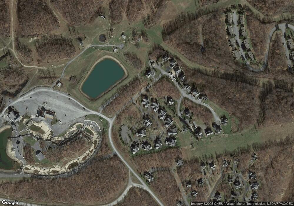
Map
Nearby Homes
- 93 Kendall Camp Cir
- LOT 12 Boulder Ridge Dr
- Boulder Ridge Drive Lot: 12
- 110 Wisp Adventure Rd
- 23 Snowshoe Ct
- Lot 94 Wisp Adventure Rd
- 8 Winding Way Unit 19D
- 0 Highline Dr Unit MDGA2006792
- 14 Winding Way Unit 18B
- 18 Winding Way Unit 18
- 188 Highline Dr
- 60 Sundance Way
- 72 Sundance Way
- 65 Sundance Way
- 110 Highline Dr
- 120 Sundance Way
- 17 Slopeside Terrace Unit 10D
- Highline Drive Lot: 55
- 48 Bright Passage Unit 5B
- 33 Lakeview Ct Unit 2B
- 31 Kendall Camp Cir
- 51 Kendall Camp Cir
- 53 Kendall Camp Cir
- 60 Kendall Camp Cir
- 60 Camp Cir
- 62 Kendall Camp Cir
- 46 Kendall Camp Cir
- 46 Kendall Camp Cir Unit 22B
- 71 Kendall Camp Cir Unit 5
- 71 Kendall Camp Cir
- 0 Wisp Mtn Rd-Boulder Ridge Unit MDGA2002190
- 254 Kendall Camp Cir Unit 21A
- 73 Kendall Camp Cir Rd
- 73 Kendall Camp Cir Rd Unit 6
- 73 Kendall Camp Cir
- 73 Kendall Camp Cir Unit 6
- 65 Kendall Camp Cir
- 71 Kendall Camp Cir Rd Unit 5
- 170 Kendall Camp Cir Unit 19B
- 170 Kendall Camp Cir
Your Personal Tour Guide
Ask me questions while you tour the home.