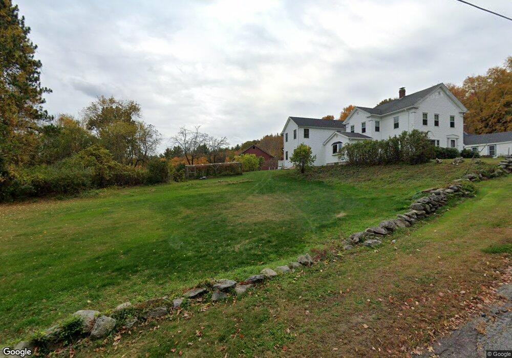
33 Larned Rd Oxford, MA 01540
Estimated Value: $532,000 - $695,611
3
Beds
4
Baths
3,288
Sq Ft
$193/Sq Ft
Est. Value
About This Home
This home is located at 33 Larned Rd, Oxford, MA 01540 and is currently estimated at $633,653, approximately $192 per square foot. 33 Larned Rd is a home located in Worcester County with nearby schools including Alfred M Chaffee, Oxford High School, and Clara Barton Elementary School.
Ownership History
Date
Name
Owned For
Owner Type
Purchase Details
Closed on
Jun 13, 2016
Sold by
Prince Allen H and Prince Eulalia M
Bought by
Prince Lt
Current Estimated Value
Purchase Details
Closed on
Sep 30, 1998
Sold by
Allard Aubrey B
Bought by
Prince Allen H and Prince Eulalia M
Home Financials for this Owner
Home Financials are based on the most recent Mortgage that was taken out on this home.
Original Mortgage
$114,900
Interest Rate
6.89%
Mortgage Type
Purchase Money Mortgage
Create a Home Valuation Report for This Property
The Home Valuation Report is an in-depth analysis detailing your home's value as well as a comparison with similar homes in the area
Home Values in the Area
Average Home Value in this Area
Purchase History
| Date | Buyer | Sale Price | Title Company |
|---|---|---|---|
| Prince Lt | -- | -- | |
| Prince Allen H | $170,000 | -- |
Source: Public Records
Mortgage History
| Date | Status | Borrower | Loan Amount |
|---|---|---|---|
| Previous Owner | Prince Allen H | $114,900 |
Source: Public Records
Tax History Compared to Growth
Tax History
| Year | Tax Paid | Tax Assessment Tax Assessment Total Assessment is a certain percentage of the fair market value that is determined by local assessors to be the total taxable value of land and additions on the property. | Land | Improvement |
|---|---|---|---|---|
| 2025 | $82 | $646,400 | $133,800 | $512,600 |
| 2024 | $8,204 | $608,600 | $124,300 | $484,300 |
| 2023 | $7,533 | $552,300 | $111,000 | $441,300 |
| 2022 | $6,129 | $379,300 | $81,800 | $297,500 |
| 2021 | $5,954 | $360,200 | $78,200 | $282,000 |
| 2020 | $6,449 | $387,100 | $78,200 | $308,900 |
| 2019 | $5,683 | $333,700 | $78,200 | $255,500 |
| 2018 | $5,763 | $333,700 | $78,200 | $255,500 |
| 2017 | $5,763 | $342,000 | $78,200 | $263,800 |
| 2016 | $5,885 | $347,600 | $78,200 | $269,400 |
| 2015 | $5,489 | $347,600 | $78,200 | $269,400 |
| 2014 | $5,390 | $359,300 | $78,200 | $281,100 |
Source: Public Records
Map
Nearby Homes
- 62 Larned Rd
- 24 Linwood St
- 28 Holly St
- 13 Tanner Rd
- 10 Friar Tuck Ln
- 32 Carron Ln
- 137 Main St
- 1 Hemlock St
- 53 Bigelow Rd
- 0 Hayden Pond Rd
- 36 Locust St
- Lots 1+16 Pierpont Rd
- 177-179 N Main St
- 58 Lelandville Rd
- 44 Camile Rd
- 135 N Main St
- 18 Kingsbury Rd
- 4 Toria Heights Rd
- 124 Charlton St Unit F
- 32 Brodeur Ave