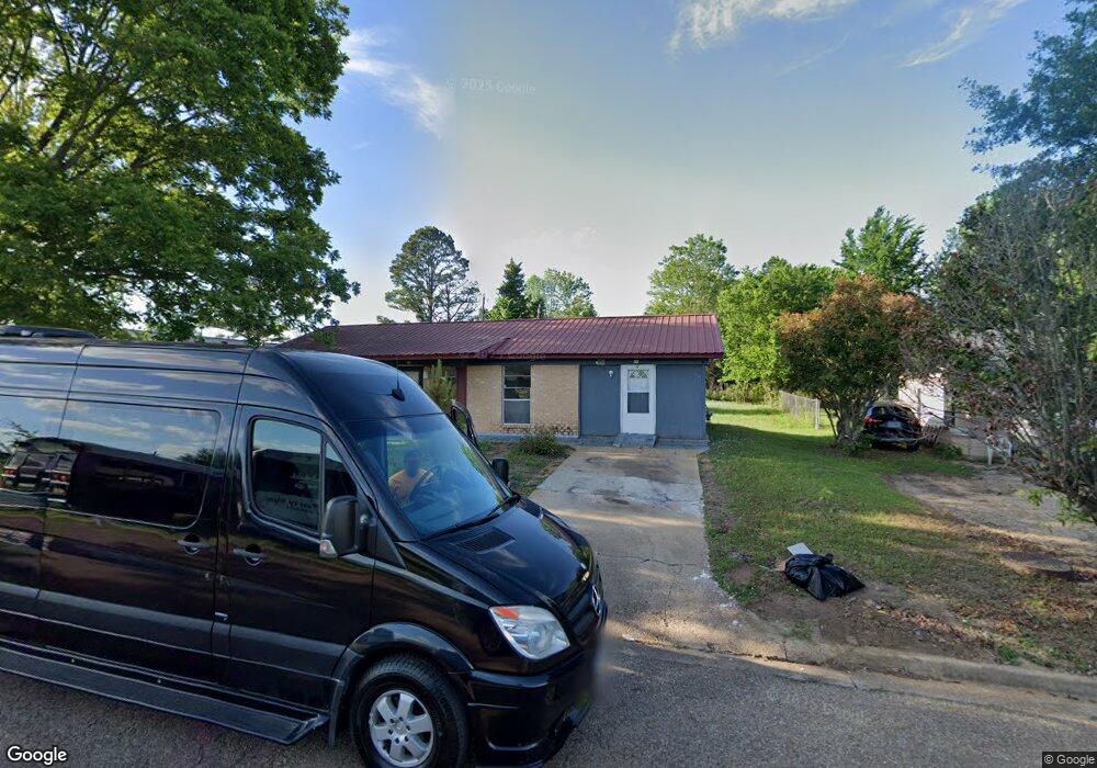
33 Linwood Dr West Point, MS 39773
Estimated Value: $109,000 - $179,000
3
Beds
--
Bath
1,246
Sq Ft
$106/Sq Ft
Est. Value
About This Home
This home is located at 33 Linwood Dr, West Point, MS 39773 and is currently estimated at $132,253, approximately $106 per square foot. 33 Linwood Dr is a home with nearby schools including East Side Elementary School, West Clay Elementary School, and Church Hill Elementary School.
Create a Home Valuation Report for This Property
The Home Valuation Report is an in-depth analysis detailing your home's value as well as a comparison with similar homes in the area
Home Values in the Area
Average Home Value in this Area
Tax History Compared to Growth
Tax History
| Year | Tax Paid | Tax Assessment Tax Assessment Total Assessment is a certain percentage of the fair market value that is determined by local assessors to be the total taxable value of land and additions on the property. | Land | Improvement |
|---|---|---|---|---|
| 2024 | $554 | $10,218 | $1,125 | $9,093 |
| 2023 | $1,284 | $8,577 | $1,125 | $7,452 |
| 2022 | $472 | $8,577 | $1,125 | $7,452 |
| 2021 | $450 | $8,251 | $1,125 | $7,126 |
| 2020 | $455 | $8,251 | $1,125 | $7,126 |
| 2019 | $425 | $8,187 | $1,125 | $7,062 |
| 2018 | $408 | $8,187 | $1,125 | $7,062 |
| 2017 | $408 | $8,187 | $1,125 | $7,062 |
| 2016 | $366 | $7,659 | $1,125 | $6,534 |
| 2015 | $341 | $6,939 | $1,125 | $5,814 |
| 2014 | $295 | $6,939 | $1,125 | $5,814 |
| 2013 | $295 | $6,939 | $1,125 | $5,814 |
Source: Public Records
Map
Nearby Homes
- 0 Us-45 Alt N Lot 14
- 0 Us Hwy 45a Unit 4033641
- 0 Us Hwy 45a Unit 22-3720
- 399 Lone Oak Dr
- 218 Lewellen St
- 165 William Huffman Rd
- 201 Quail Ridge Rd
- 318 Progress St
- 593 Lone Oak Dr
- 63 Clay St
- 446 Tva Rd
- 530 E Morrow St
- 10005 Highway 45 Alternate N
- 564 E Morrow St
- 0 Mississippi 50
- 26788 E Main St
- 26852 E Main St
- 27045 E Main St
- 26596 E Main St
- 222 Wyman Dr