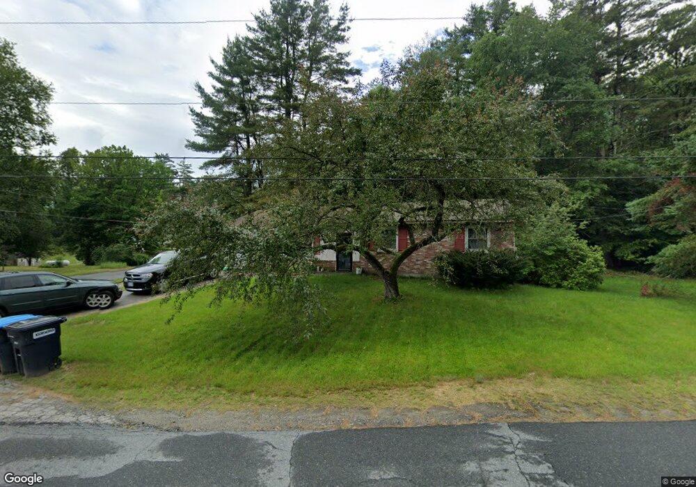
33 Lorraine St Newport, NH 03773
Estimated Value: $280,202 - $315,000
2
Beds
1
Bath
1,511
Sq Ft
$196/Sq Ft
Est. Value
About This Home
This home is located at 33 Lorraine St, Newport, NH 03773 and is currently estimated at $295,551, approximately $195 per square foot. 33 Lorraine St is a home located in Sullivan County with nearby schools including Richards Elementary School, Newport High School, and Newport Montessori School.
Ownership History
Date
Name
Owned For
Owner Type
Purchase Details
Closed on
Aug 19, 2004
Sold by
Currier Kenneth W and Currier Amy M
Bought by
Cornish Jeremy A and Cornish Kristina J
Current Estimated Value
Home Financials for this Owner
Home Financials are based on the most recent Mortgage that was taken out on this home.
Original Mortgage
$125,000
Outstanding Balance
$62,109
Interest Rate
6.03%
Mortgage Type
Purchase Money Mortgage
Estimated Equity
$233,442
Purchase Details
Closed on
Jun 23, 1999
Sold by
Cummins Diane
Bought by
Currier Kenneth W and Currier Amy M
Home Financials for this Owner
Home Financials are based on the most recent Mortgage that was taken out on this home.
Original Mortgage
$72,200
Interest Rate
7.09%
Create a Home Valuation Report for This Property
The Home Valuation Report is an in-depth analysis detailing your home's value as well as a comparison with similar homes in the area
Home Values in the Area
Average Home Value in this Area
Purchase History
| Date | Buyer | Sale Price | Title Company |
|---|---|---|---|
| Cornish Jeremy A | $125,000 | -- | |
| Currier Kenneth W | $76,000 | -- |
Source: Public Records
Mortgage History
| Date | Status | Borrower | Loan Amount |
|---|---|---|---|
| Open | Currier Kenneth W | $125,000 | |
| Previous Owner | Currier Kenneth W | $72,200 |
Source: Public Records
Tax History Compared to Growth
Tax History
| Year | Tax Paid | Tax Assessment Tax Assessment Total Assessment is a certain percentage of the fair market value that is determined by local assessors to be the total taxable value of land and additions on the property. | Land | Improvement |
|---|---|---|---|---|
| 2024 | $4,981 | $204,900 | $73,200 | $131,700 |
| 2023 | $4,832 | $204,900 | $73,200 | $131,700 |
| 2022 | $4,282 | $204,900 | $73,200 | $131,700 |
| 2021 | $3,960 | $120,000 | $47,000 | $73,000 |
| 2020 | $3,972 | $120,000 | $47,000 | $73,000 |
| 2019 | $3,904 | $120,000 | $47,000 | $73,000 |
| 2018 | $3,648 | $120,000 | $47,000 | $73,000 |
| 2017 | $3,605 | $120,000 | $47,000 | $73,000 |
| 2016 | $3,781 | $131,600 | $47,900 | $83,700 |
| 2015 | $3,849 | $131,600 | $47,900 | $83,700 |
| 2014 | $4,164 | $131,600 | $47,900 | $83,700 |
Source: Public Records
Map
Nearby Homes
- 0 Unity Rd
- 44 Brook View Rd
- 45 Brook View Rd
- 33 Brook View Rd
- 32 Brook View Rd
- 27 Brook View Rd
- 43 Brook View Rd
- 29 Brook View Rd
- 31 Brook View Rd
- 34 Brook View Rd
- 36 Brook View Rd
- 37 Brook View Rd
- 39 Brook View Rd
- Lot 46 Brook View Rd
- 26 Brook View Rd
- 40 Brook View Rd
- 42 Brook View Rd
- 35 Brook View Rd
- 41 Brook View Rd
- 30 Brook View Rd