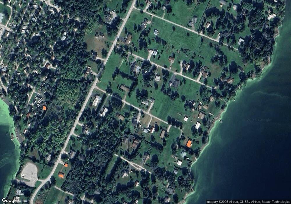
33 Maple St Unit 26 Swanton, VT 05488
Estimated Value: $335,000 - $394,000
3
Beds
2
Baths
1,676
Sq Ft
$220/Sq Ft
Est. Value
About This Home
This home is located at 33 Maple St Unit 26, Swanton, VT 05488 and is currently estimated at $368,294, approximately $219 per square foot. 33 Maple St Unit 26 is a home located in Franklin County with nearby schools including Swanton Schools and Missisquoi Valley Union Middle/High School.
Ownership History
Date
Name
Owned For
Owner Type
Purchase Details
Closed on
Apr 3, 2023
Sold by
David A And Bonnie Lee Revocable Trust
Bought by
Lafferty Revocabl James F
Current Estimated Value
Purchase Details
Closed on
Oct 25, 2021
Sold by
Comtois Henry
Bought by
Walters Roy
Purchase Details
Closed on
Jul 28, 2016
Sold by
Hunt Bonnie Lee and Hunt David A
Bought by
Hunt Bonnie Lee and Hunt David
Purchase Details
Closed on
Oct 30, 2013
Sold by
Hunt David and Hunt Bonnie Lee
Bought by
Hunt David and Hunt Bonnie Lee
Purchase Details
Closed on
Jan 7, 2003
Sold by
Miller Nicholas
Bought by
Hunt David Allen and Hunt Bonnie Lee
Purchase Details
Closed on
Sep 29, 2000
Sold by
Brown George B Estate
Bought by
Miller Nicholas
Create a Home Valuation Report for This Property
The Home Valuation Report is an in-depth analysis detailing your home's value as well as a comparison with similar homes in the area
Home Values in the Area
Average Home Value in this Area
Purchase History
| Date | Buyer | Sale Price | Title Company |
|---|---|---|---|
| Lafferty Revocabl James F | $316,000 | -- | |
| Lafferty Revocabl James F | $316,000 | -- | |
| Lafferty Revocabl James F | $316,000 | -- | |
| Walters Roy | $225,000 | -- | |
| Walters Roy | $225,000 | -- | |
| Hunt Bonnie Lee | -- | -- | |
| Hunt Bonnie Lee | -- | -- | |
| Hunt David | -- | -- | |
| Hunt David Allen | $92,500 | -- | |
| Hunt David Allen | $92,500 | -- | |
| Miller Nicholas | $57,500 | -- | |
| Miller Nicholas | $57,500 | -- |
Source: Public Records
Tax History
| Year | Tax Paid | Tax Assessment Tax Assessment Total Assessment is a certain percentage of the fair market value that is determined by local assessors to be the total taxable value of land and additions on the property. | Land | Improvement |
|---|---|---|---|---|
| 2024 | $4,887 | $209,100 | $52,200 | $156,900 |
| 2023 | $3,731 | $185,700 | $52,200 | $133,500 |
| 2022 | $2,655 | $185,700 | $52,200 | $133,500 |
| 2021 | $2,746 | $185,700 | $52,200 | $133,500 |
| 2020 | $2,918 | $185,700 | $52,200 | $133,500 |
| 2019 | $2,723 | $185,700 | $52,200 | $133,500 |
| 2018 | $2,652 | $185,700 | $52,200 | $133,500 |
| 2017 | $2,725 | $185,700 | $52,200 | $133,500 |
| 2016 | $2,614 | $185,700 | $52,200 | $133,500 |
| 2015 | -- | $1,857 | $0 | $0 |
| 2014 | -- | $1,857 | $0 | $0 |
| 2013 | -- | $1,857 | $0 | $0 |
Source: Public Records
Map
Nearby Homes
- 18 Turkey Terrace
- 194 Lakewood Dr
- 144 Lakewood Dr
- 46 Baker Place
- 283 N End Rd E
- 5 Tylers Way
- 1 Alburg Rv Resort Unit C6
- 1 Alburg Rv Resort Unit D5
- 72 Church Rd
- 321 E Alburgh Rd
- 123 Lake St
- 423 E Alburgh Rd
- 512 Middle Rd
- 60 Holiday Point Rd
- 24 Lake St
- 61 Campbell Bay Rd
- Lot 1 Meadow Run
- Lot 6 Meadow Run
- 849 Boutah Rd
- 207 Fawn Ln
