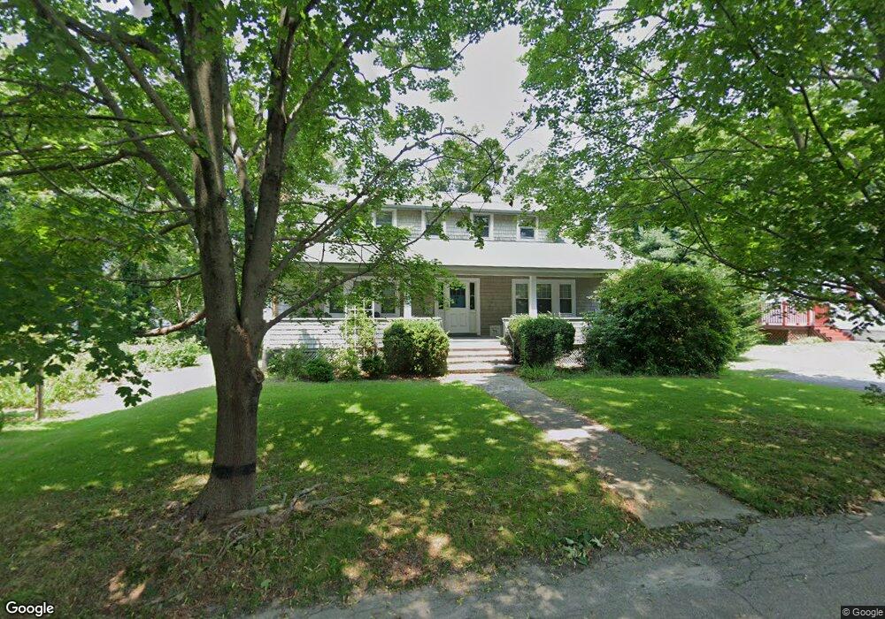
33 Maple St Warren, RI 02885
Beach Terrace NeighborhoodEstimated Value: $659,835 - $776,000
4
Beds
2
Baths
2,288
Sq Ft
$320/Sq Ft
Est. Value
About This Home
This home is located at 33 Maple St, Warren, RI 02885 and is currently estimated at $731,959, approximately $319 per square foot. 33 Maple St is a home located in Bristol County with nearby schools including Mt. Hope High School, Highlander Charter Middle and High School, and East Bay Career Academy.
Ownership History
Date
Name
Owned For
Owner Type
Purchase Details
Closed on
Jul 15, 2011
Sold by
Miller Joseph C and Miller Hannah A
Bought by
Jevicki Antal and Jevicki Radmila
Current Estimated Value
Home Financials for this Owner
Home Financials are based on the most recent Mortgage that was taken out on this home.
Original Mortgage
$230,000
Outstanding Balance
$17,323
Interest Rate
4.58%
Mortgage Type
Purchase Money Mortgage
Estimated Equity
$714,636
Purchase Details
Closed on
Nov 1, 2002
Sold by
Doores Larry D and Wolfe Janet
Bought by
Miller Joseph C and Miller Hannah
Purchase Details
Closed on
Nov 3, 1994
Sold by
Mercier Ernest Est
Bought by
Doores Larry D and Doores Janet
Home Financials for this Owner
Home Financials are based on the most recent Mortgage that was taken out on this home.
Original Mortgage
$108,000
Interest Rate
8.71%
Create a Home Valuation Report for This Property
The Home Valuation Report is an in-depth analysis detailing your home's value as well as a comparison with similar homes in the area
Home Values in the Area
Average Home Value in this Area
Purchase History
| Date | Buyer | Sale Price | Title Company |
|---|---|---|---|
| Jevicki Antal | $287,500 | -- | |
| Miller Joseph C | $290,000 | -- | |
| Doores Larry D | $137,000 | -- |
Source: Public Records
Mortgage History
| Date | Status | Borrower | Loan Amount |
|---|---|---|---|
| Open | Doores Larry D | $230,000 | |
| Previous Owner | Doores Larry D | $108,000 |
Source: Public Records
Tax History
| Year | Tax Paid | Tax Assessment Tax Assessment Total Assessment is a certain percentage of the fair market value that is determined by local assessors to be the total taxable value of land and additions on the property. | Land | Improvement |
|---|---|---|---|---|
| 2025 | $6,937 | $465,900 | $192,500 | $273,400 |
| 2024 | $6,728 | $465,900 | $192,500 | $273,400 |
| 2023 | $6,364 | $465,900 | $192,500 | $273,400 |
| 2022 | $6,494 | $360,600 | $154,700 | $205,900 |
| 2021 | $6,390 | $360,600 | $154,700 | $205,900 |
| 2020 | $6,260 | $360,600 | $154,700 | $205,900 |
| 2019 | $6,421 | $336,000 | $125,900 | $210,100 |
| 2018 | $6,337 | $336,000 | $125,900 | $210,100 |
| 2017 | $6,320 | $336,000 | $125,900 | $210,100 |
| 2016 | $5,634 | $282,100 | $92,500 | $189,600 |
| 2015 | $5,634 | $282,100 | $92,500 | $189,600 |
| 2014 | $5,662 | $282,100 | $92,500 | $189,600 |
Source: Public Records
Map
Nearby Homes
- 39 Bagy Wrinkle Cove
- 35 Bagy Wrinkle Cove
- 2 Bagy Wrinkle Cove
- 417 North Ln
- 461 North Ln
- 506 Clarks Row
- 74 Adams Point Rd
- 596 Metacom Ave
- 69 Cutler St
- 31 Child St
- 0 Overhill Lot 1 Rd Unit 1405163
- 115 Market St
- 5 Saint Theresa Ave
- 59 Ferry Ln
- 21 Federal St
- 4 Read Ave
- 37 Warren Ave
- 22 Lantern Ln
- 62 Beachmount Ave
- 0 Surf Dr
Your Personal Tour Guide
Ask me questions while you tour the home.