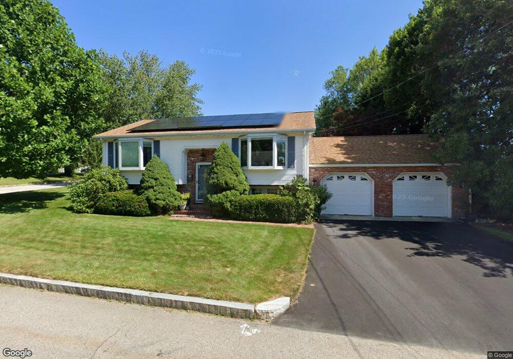
33 Marian Ln Woonsocket, RI 02895
Bernon District NeighborhoodEstimated Value: $373,000 - $433,000
2
Beds
2
Baths
1,080
Sq Ft
$370/Sq Ft
Est. Value
About This Home
This home is located at 33 Marian Ln, Woonsocket, RI 02895 and is currently estimated at $399,959, approximately $370 per square foot. 33 Marian Ln is a home located in Providence County with nearby schools including Woonsocket High School, Rise Prep Mayoral Academy Middle School, and Rise Prep Mayoral Academy.
Ownership History
Date
Name
Owned For
Owner Type
Purchase Details
Closed on
Nov 4, 1992
Sold by
Cabral James A and Cabral Pauline
Bought by
Stinchfield Todd E and Garceau Denise
Current Estimated Value
Home Financials for this Owner
Home Financials are based on the most recent Mortgage that was taken out on this home.
Original Mortgage
$127,700
Interest Rate
7.99%
Mortgage Type
Purchase Money Mortgage
Create a Home Valuation Report for This Property
The Home Valuation Report is an in-depth analysis detailing your home's value as well as a comparison with similar homes in the area
Home Values in the Area
Average Home Value in this Area
Purchase History
| Date | Buyer | Sale Price | Title Company |
|---|---|---|---|
| Stinchfield Todd E | $134,500 | -- |
Source: Public Records
Mortgage History
| Date | Status | Borrower | Loan Amount |
|---|---|---|---|
| Open | Stinchfield Todd E | $136,000 | |
| Closed | Stinchfield Todd E | $120,000 | |
| Closed | Stinchfield Todd E | $127,700 |
Source: Public Records
Tax History
| Year | Tax Paid | Tax Assessment Tax Assessment Total Assessment is a certain percentage of the fair market value that is determined by local assessors to be the total taxable value of land and additions on the property. | Land | Improvement |
|---|---|---|---|---|
| 2025 | $4,471 | $398,100 | $108,400 | $289,700 |
| 2024 | $4,496 | $309,200 | $88,400 | $220,800 |
| 2023 | $4,323 | $309,200 | $88,400 | $220,800 |
| 2022 | $4,323 | $309,200 | $88,400 | $220,800 |
| 2021 | $4,460 | $187,800 | $71,000 | $116,800 |
| 2020 | $4,507 | $187,800 | $71,000 | $116,800 |
| 2018 | $4,522 | $187,800 | $71,000 | $116,800 |
| 2017 | $5,644 | $187,500 | $65,600 | $121,900 |
| 2016 | $5,970 | $187,500 | $65,600 | $121,900 |
| 2015 | $6,859 | $187,500 | $65,600 | $121,900 |
| 2014 | $4,629 | $184,000 | $72,200 | $111,800 |
Source: Public Records
Map
Nearby Homes
- 216 Bertenshaw Rd
- 374 Thibeault Ave
- 414 Rhode Island Ave
- 378 Gauthier Dr
- 0 Hillview St
- 39 Louise St
- 0 Irving Lot 206 Ave Unit 1397321
- 202 Phillips St
- 59 Cooper Ave
- 0 Irving Lot 192 Ave Unit 1383138
- 219 Crawford St
- 190 Crawford St
- 59 Division St
- 147 Warwick St
- 0 Caron Ave Unit 1379503
- 0 Caron Ave Unit 73342710
- 15 Knight St
- 109 Hemond Ave
- 526 Bernon St
- 42 Armand Ave
Your Personal Tour Guide
Ask me questions while you tour the home.