Estimated Value: $512,422 - $600,000
3
Beds
3
Baths
954
Sq Ft
$586/Sq Ft
Est. Value
About This Home
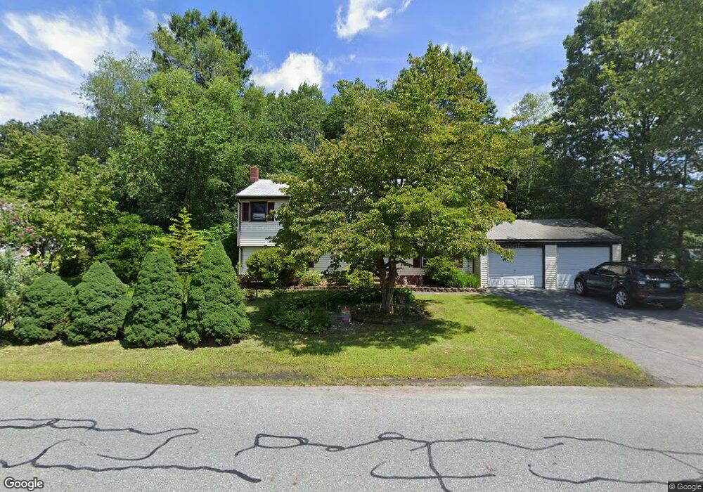
This home is located at 33 Meisner Rd, Salem, NH 03079 and is currently estimated at $559,106, approximately $586 per square foot. 33 Meisner Rd is a home located in Rockingham County with nearby schools including William E. Lancaster School, Woodbury School, and Salem High School.
Ownership History
Date
Name
Owned For
Owner Type
Purchase Details
Closed on
Sep 20, 2017
Sold by
Wright Michael J and Wright Veronica
Bought by
Wright Michelle A
Current Estimated Value
Purchase Details
Closed on
Apr 24, 2000
Sold by
Greski Patricia A
Bought by
Wright Michael J M and Wright Veronica
Home Financials for this Owner
Home Financials are based on the most recent Mortgage that was taken out on this home.
Original Mortgage
$123,900
Interest Rate
8.21%
Mortgage Type
Purchase Money Mortgage
Purchase Details
Closed on
Dec 23, 1999
Sold by
Ross Arnold J
Bought by
Greski Patricia A
Home Financials for this Owner
Home Financials are based on the most recent Mortgage that was taken out on this home.
Original Mortgage
$82,500
Interest Rate
7.61%
Mortgage Type
Purchase Money Mortgage
Create a Home Valuation Report for This Property
The Home Valuation Report is an in-depth analysis detailing your home's value as well as a comparison with similar homes in the area
Purchase History
| Date | Buyer | Sale Price | Title Company |
|---|---|---|---|
| Wright Michelle A | -- | -- | |
| Wright Michael J M | $154,900 | -- | |
| Greski Patricia A | $110,000 | -- |
Source: Public Records
Mortgage History
| Date | Status | Borrower | Loan Amount |
|---|---|---|---|
| Previous Owner | Greski Patricia A | $123,900 | |
| Previous Owner | Greski Patricia A | $82,500 |
Source: Public Records
Tax History
| Year | Tax Paid | Tax Assessment Tax Assessment Total Assessment is a certain percentage of the fair market value that is determined by local assessors to be the total taxable value of land and additions on the property. | Land | Improvement |
|---|---|---|---|---|
| 2024 | $7,408 | $420,900 | $159,900 | $261,000 |
| 2023 | $7,138 | $420,900 | $159,900 | $261,000 |
| 2022 | $6,755 | $420,900 | $159,900 | $261,000 |
| 2021 | $6,726 | $420,900 | $159,900 | $261,000 |
| 2020 | $6,082 | $276,200 | $114,200 | $162,000 |
| 2019 | $6,071 | $276,200 | $114,200 | $162,000 |
| 2018 | $5,219 | $241,500 | $114,200 | $127,300 |
| 2017 | $5,033 | $241,500 | $114,200 | $127,300 |
| 2016 | $4,934 | $241,500 | $114,200 | $127,300 |
| 2015 | $4,719 | $220,600 | $117,500 | $103,100 |
| 2014 | $4,586 | $220,600 | $117,500 | $103,100 |
| 2013 | $4,513 | $220,600 | $117,500 | $103,100 |
Source: Public Records
Map
Nearby Homes
- 8 Alta Ave
- 15 Briar Ave
- 5 Canterbury Ct
- 17 Canterbury Ct
- 100 School St
- 5 Highland Ave
- 10 Town Village Dr
- 4 Therriault Ave
- 14 Loren Rd
- 5 Sally Sweets Way Unit 128
- 47 Millville St
- 12 Field Ave
- 10 Millville St
- 66 Brookwood Dr
- 7 Douglas Dr
- 30 Main St
- 10 Braemoor Woods Rd Unit 401
- 10 Braemoor Woods Rd Unit 300
- 40 Stanwood Rd Unit 9
- 18 Artisan Dr Unit 307
Your Personal Tour Guide
Ask me questions while you tour the home.