Estimated Value: $1,629,000 - $1,840,000
2
Beds
4
Baths
2,510
Sq Ft
$700/Sq Ft
Est. Value
About This Home
This home is located at 33 Pier 7, Charlestown, MA 02129 and is currently estimated at $1,756,439, approximately $699 per square foot. 33 Pier 7 is a home located in Suffolk County with nearby schools including Boston Children's School and St John School.
Ownership History
Date
Name
Owned For
Owner Type
Purchase Details
Closed on
Jun 22, 1998
Sold by
Cangiano Leon M and Cangiano Karen P
Bought by
Rogerson William G and Conkright Sally L
Current Estimated Value
Home Financials for this Owner
Home Financials are based on the most recent Mortgage that was taken out on this home.
Original Mortgage
$451,200
Interest Rate
7.09%
Mortgage Type
Purchase Money Mortgage
Create a Home Valuation Report for This Property
The Home Valuation Report is an in-depth analysis detailing your home's value as well as a comparison with similar homes in the area
Home Values in the Area
Average Home Value in this Area
Purchase History
| Date | Buyer | Sale Price | Title Company |
|---|---|---|---|
| Rogerson William G | $564,000 | -- |
Source: Public Records
Mortgage History
| Date | Status | Borrower | Loan Amount |
|---|---|---|---|
| Open | Rogerson William G | $484,400 | |
| Closed | Rogerson William G | $100,001 | |
| Closed | Rogerson William G | $451,200 |
Source: Public Records
Tax History Compared to Growth
Tax History
| Year | Tax Paid | Tax Assessment Tax Assessment Total Assessment is a certain percentage of the fair market value that is determined by local assessors to be the total taxable value of land and additions on the property. | Land | Improvement |
|---|---|---|---|---|
| 2025 | $19,972 | $1,724,700 | $0 | $1,724,700 |
| 2024 | $17,439 | $1,599,900 | $0 | $1,599,900 |
| 2023 | $16,365 | $1,523,700 | $0 | $1,523,700 |
| 2022 | $16,253 | $1,493,800 | $0 | $1,493,800 |
| 2021 | $15,939 | $1,493,800 | $0 | $1,493,800 |
| 2020 | $18,195 | $1,723,000 | $0 | $1,723,000 |
| 2019 | $17,806 | $1,689,400 | $0 | $1,689,400 |
| 2018 | $17,086 | $1,630,300 | $0 | $1,630,300 |
| 2017 | $14,947 | $1,411,400 | $0 | $1,411,400 |
| 2016 | $13,833 | $1,257,500 | $0 | $1,257,500 |
| 2015 | $14,746 | $1,217,700 | $0 | $1,217,700 |
| 2014 | $13,508 | $1,073,800 | $0 | $1,073,800 |
Source: Public Records
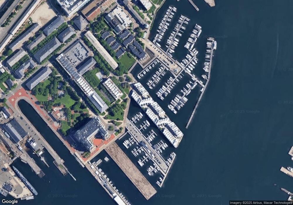
Map
Nearby Homes
- 28 Shipway Place
- 197 8th St Unit 501
- 197 Eighth St Unit 628
- 197 Eighth St Unit 212
- 42 8th St Unit 2306
- 42 8th St Unit 5316
- 42 8th St Unit 4209
- 42 8th St Unit 1307
- 42 8th St Unit 4106
- 42 8th St Unit 1201
- 42 8th St Unit 3306
- 42 8th St Unit 2302
- 106 13th St Unit 204
- 106 13th St Unit 114
- 73 Chelsea St Unit 401
- 4 Coppersmith Way Unit 2
- 3 Battery Wharf Unit 3309
- 106 Bunker Hill St Unit 2
- 106 Bunker Hill St Unit 6
- 106 Bunker Hill St Unit 1
- 3 Constellation Wharf Unit 3
- 3 Constellation Wharf Unit 65
- 3 Constellation Wharf Unit 46
- 10 Constellation Wharf Unit 10
- 7 Constellation Wharf Unit 7
- 30 Pier 7
- 12 Pier 7
- 11 Pier 7
- 10 Pier 7
- 9 Pier 7
- 8 Pier 7
- 7 Pier 7
- 5 Pier 7
- 4 Pier 7
- 3 Pier 7
- 10 Pier 7 Unit 10
- 10 Constellation Wharf Unit 10
- 52 Constellation Wharf Unit 52
- 64 Constellation Wharf Unit 64
- 54 Constellation Wharf